
Distance between  Brandum and
  Girgarre East
380.99 mi Straight Distance
459.37 mi Driving Distance
12 hours 29 mins Estimated Driving Time
The straight distance between Brandum (Tasmania) and Girgarre East (Victoria) is 380.99 mi, but the driving distance is 459.37 mi.
It takes to go from Brandum to Girgarre East.
Driving directions from Brandum to Girgarre East
Distance in kilometers
Straight distance: 613.02 km. Route distance: 739.12 km
Brandum, Australia
Latitude: -41.8269 // Longitude: 146.674
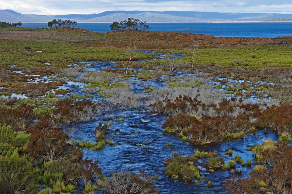
Photos of Brandum


Brandum Weather

Predicción: Overcast clouds
Temperatura: 8.1°
Humedad: 77%
Hora actual: 12:00 AM
Amanece: 08:46 PM
Anochece: 07:39 AM
Girgarre East, Australia
Latitude: -36.4549 // Longitude: 145.068
Photos of Girgarre East


Girgarre East Weather
Predicción: Broken clouds
Temperatura: 18.8°
Humedad: 45%
Hora actual: 06:15 PM
Amanece: 06:45 AM
Anochece: 05:52 PM


