Distance between  Braemar and
  Beckom
200.83 mi Straight Distance
232.17 mi Driving Distance
4 hours 19 mins Estimated Driving Time
The straight distance between Braemar (New South Wales) and Beckom (New South Wales) is 200.83 mi, but the driving distance is 232.17 mi.
It takes to go from Braemar to Beckom.
Driving directions from Braemar to Beckom
Distance in kilometers
Straight distance: 323.14 km. Route distance: 373.56 km
Braemar, Australia
Latitude: -34.4305 // Longitude: 150.483
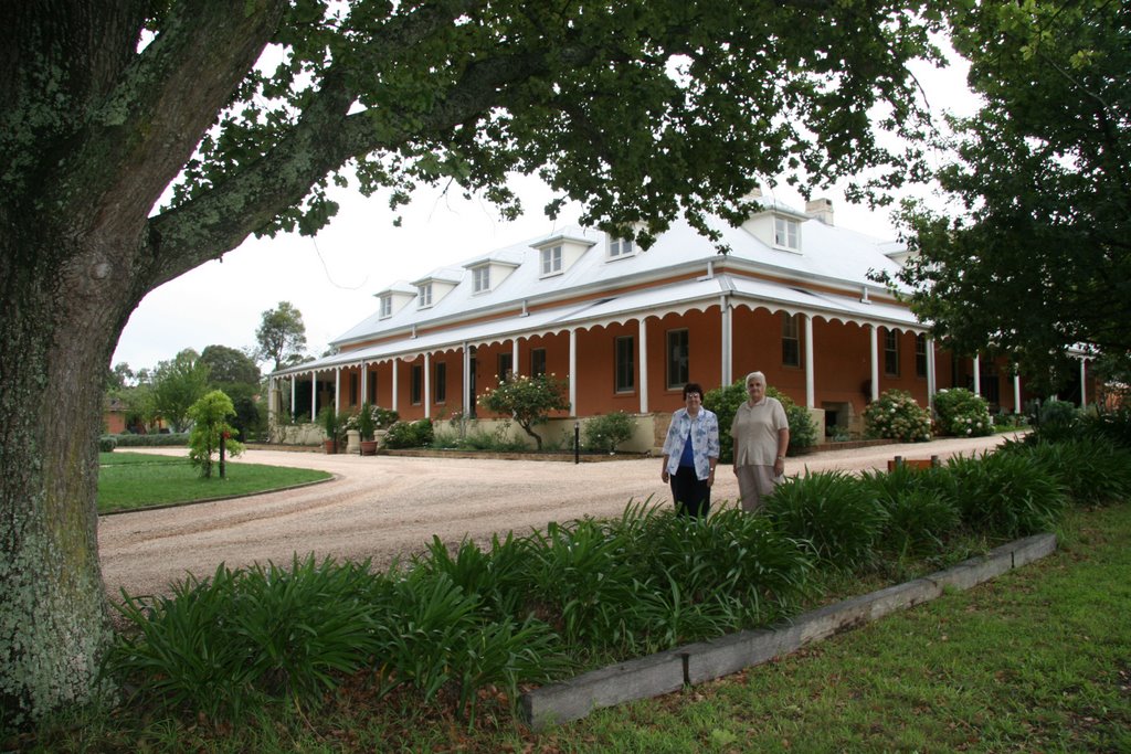
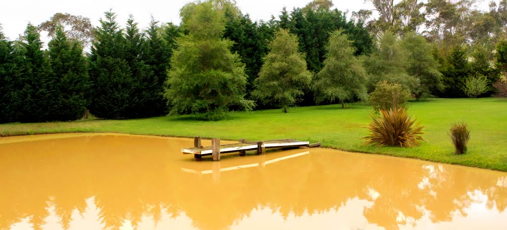
Photos of Braemar
Braemar Weather

Predicción: Clear sky
Temperatura: 13.5°
Humedad: 96%
Hora actual: 05:58 PM
Amanece: 06:22 AM
Anochece: 05:33 PM
Beckom, Australia
Latitude: -34.3306 // Longitude: 146.963
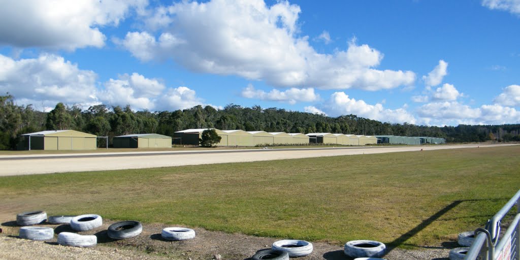
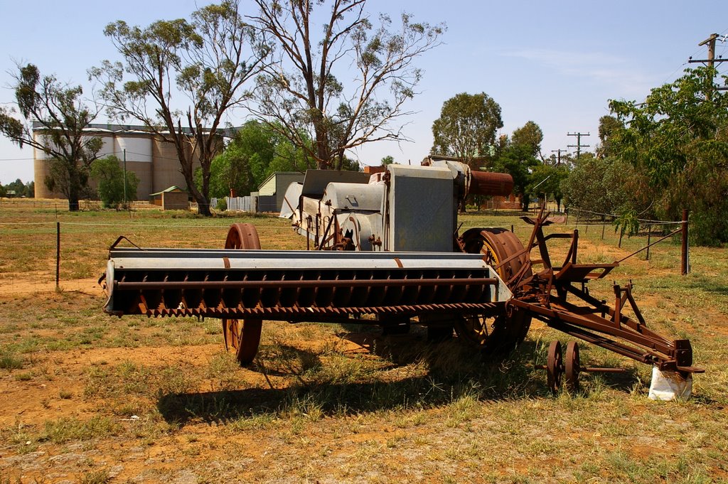
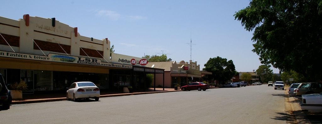
Photos of Beckom
Beckom Weather

Predicción: Clear sky
Temperatura: 18.5°
Humedad: 42%
Hora actual: 05:58 PM
Amanece: 06:36 AM
Anochece: 05:47 PM


