Distance between  Boulia and
  Tunney
1,567.07 mi Straight Distance
2,208.54 mi Driving Distance
1 day 13 hours Estimated Driving Time
The straight distance between Boulia (Queensland) and Tunney (Western Australia) is 1,567.07 mi, but the driving distance is 2,208.54 mi.
It takes 1 day 17 hours to go from Boulia to Tunney.
Driving directions from Boulia to Tunney
Distance in kilometers
Straight distance: 2,521.42 km. Route distance: 3,553.54 km
Boulia, Australia
Latitude: -22.9113 // Longitude: 139.91
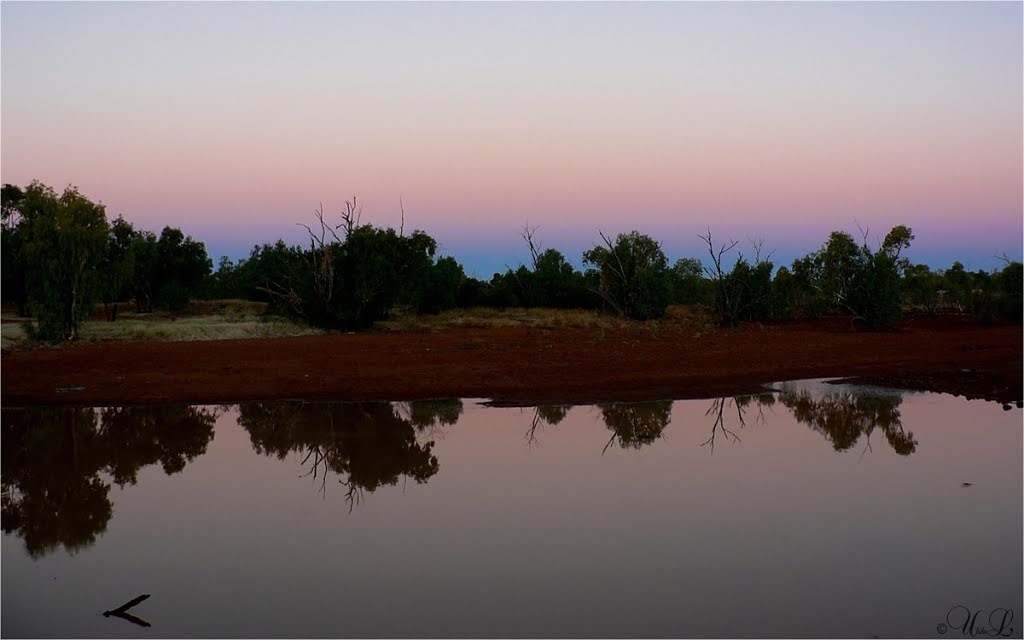
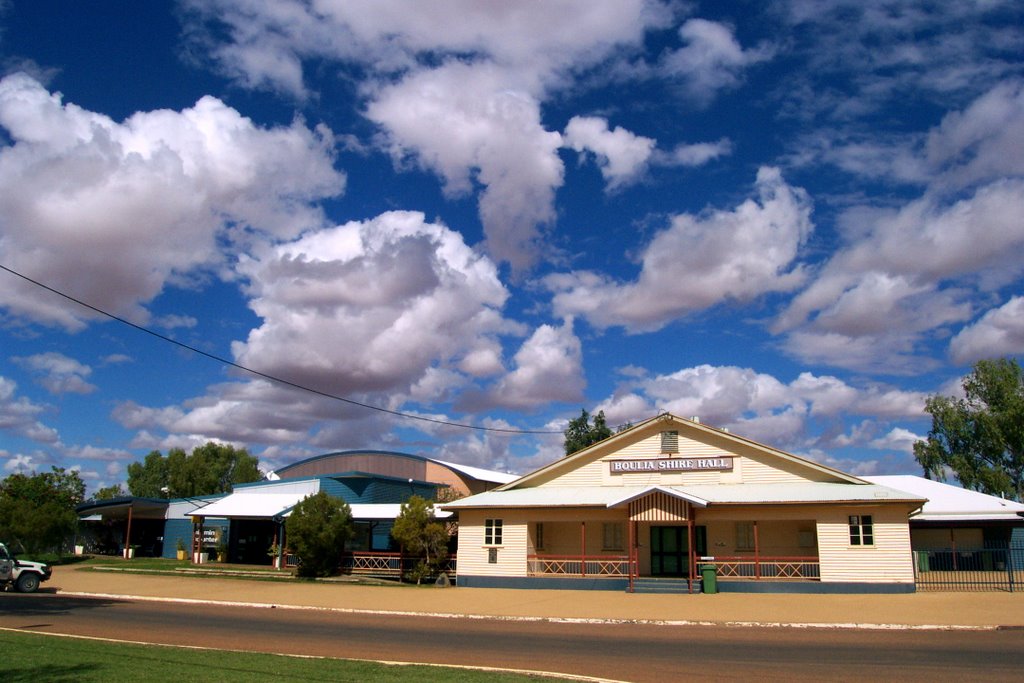
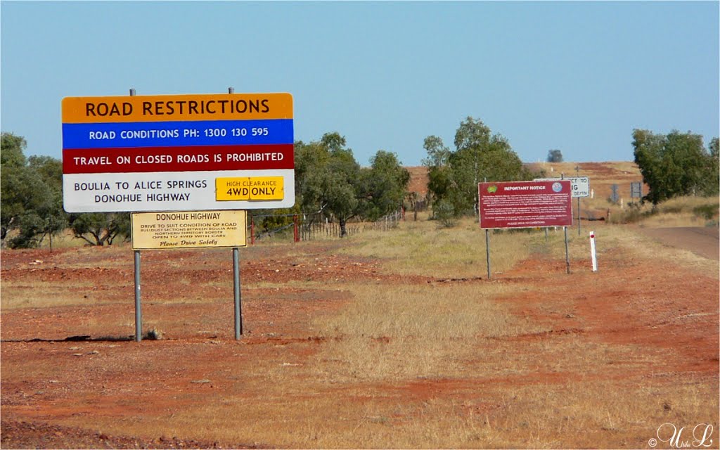
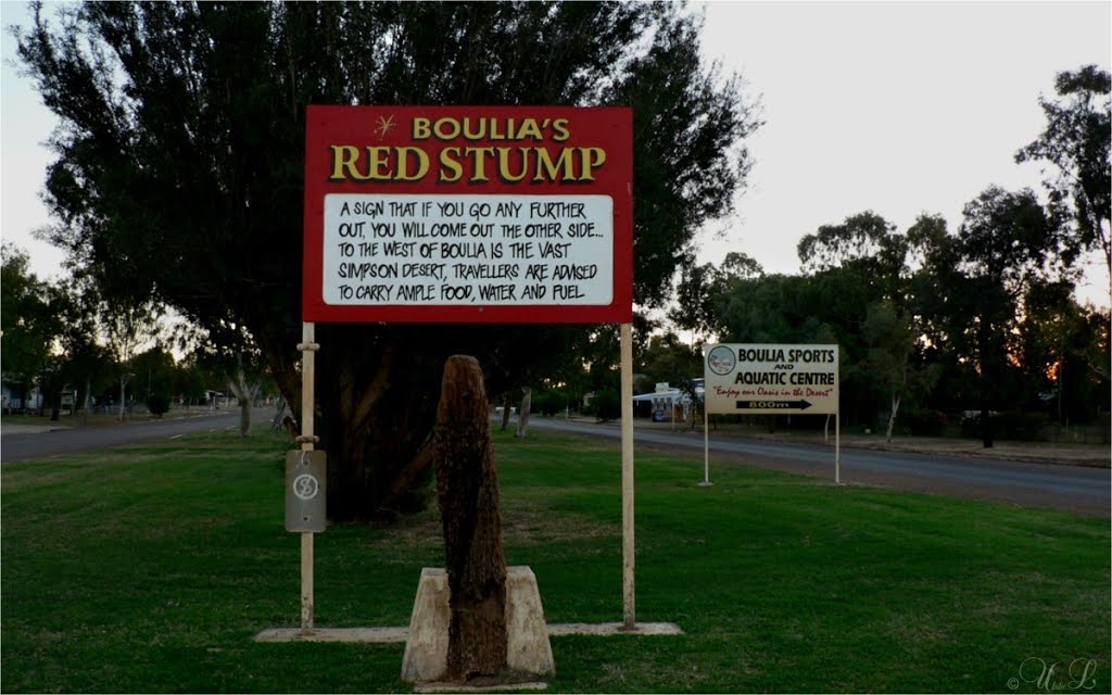
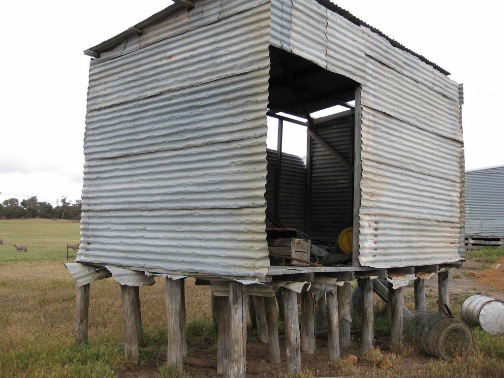
Photos of Boulia
Boulia Weather

Predicción: Scattered clouds
Temperatura: 24.6°
Humedad: 26%
Hora actual: 12:34 AM
Amanece: 06:55 AM
Anochece: 06:23 PM
Tunney, Australia
Latitude: -34.1167 // Longitude: 117.367
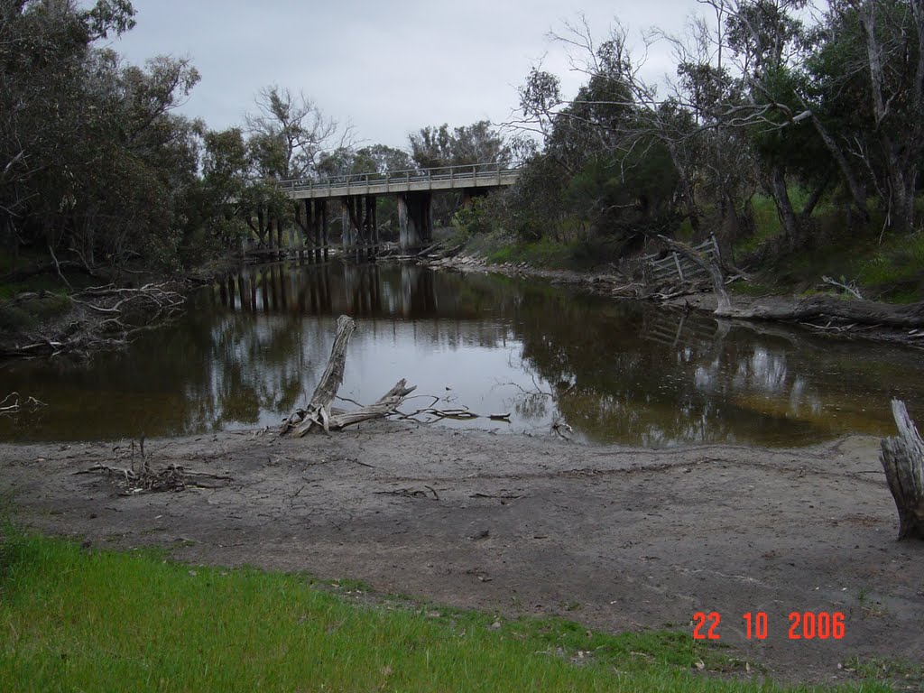
Photos of Tunney
Tunney Weather

Predicción: Clear sky
Temperatura: 15.0°
Humedad: 56%
Hora actual: 10:00 AM
Amanece: 08:36 AM
Anochece: 07:42 PM


