Distance between  Booubyjan and
  Mullalyup
2,205.97 mi Straight Distance
2,636.49 mi Driving Distance
1 day 17 hours Estimated Driving Time
The straight distance between Booubyjan (Queensland) and Mullalyup (Western Australia) is 2,205.97 mi, but the driving distance is 2,636.49 mi.
It takes to go from Booubyjan to Mullalyup.
Driving directions from Booubyjan to Mullalyup
Distance in kilometers
Straight distance: 3,549.41 km. Route distance: 4,242.11 km
Booubyjan, Australia
Latitude: -25.8805 // Longitude: 151.817
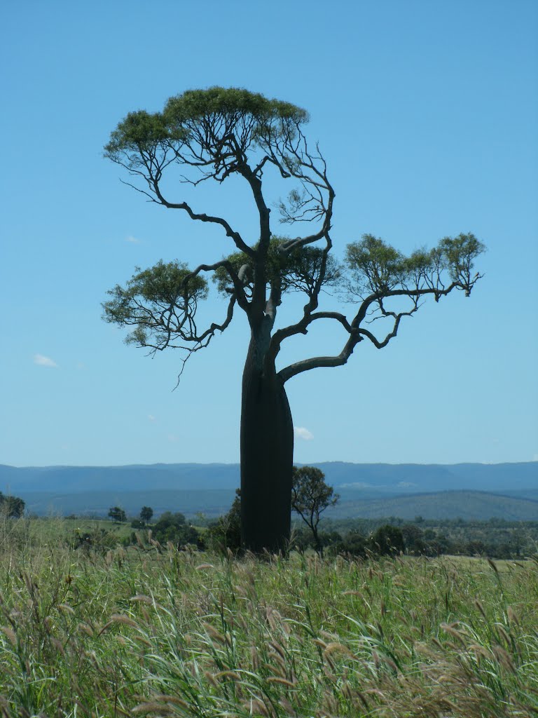
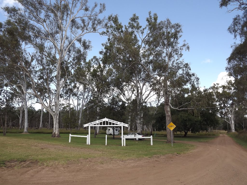
Photos of Booubyjan
Booubyjan Weather

Predicción: Few clouds
Temperatura: 17.3°
Humedad: 90%
Hora actual: 12:00 AM
Amanece: 08:09 PM
Anochece: 07:33 AM
Mullalyup, Australia
Latitude: -33.7463 // Longitude: 115.948
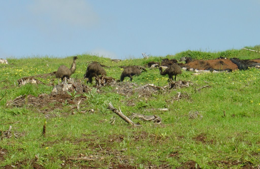
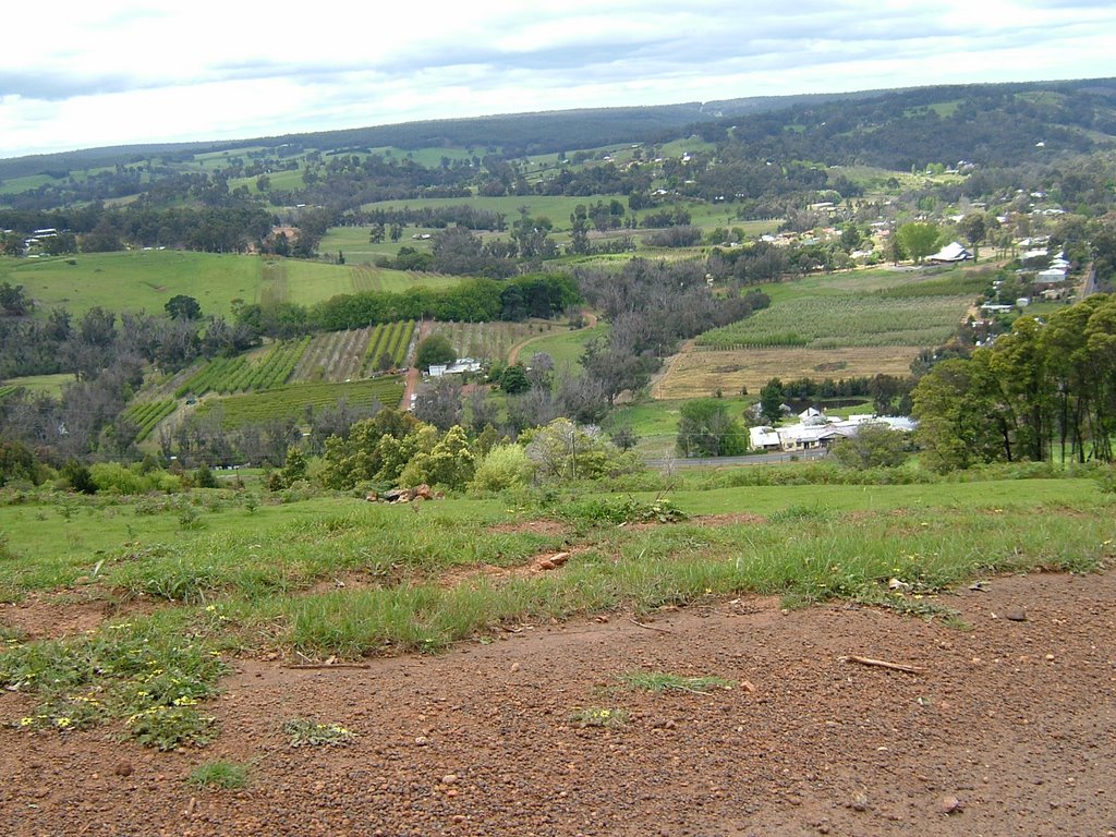
Photos of Mullalyup
Mullalyup Weather

Predicción: Clear sky
Temperatura: 13.7°
Humedad: 44%
Hora actual: 04:20 AM
Amanece: 06:42 AM
Anochece: 05:48 PM


