
Distance between  Booroorban and
  Batehaven
311.25 mi Straight Distance
432.47 mi Driving Distance
7 hours 17 mins Estimated Driving Time
The straight distance between Booroorban (New South Wales) and Batehaven (New South Wales) is 311.25 mi, but the driving distance is 432.47 mi.
It takes to go from Booroorban to Batehaven.
Driving directions from Booroorban to Batehaven
Distance in kilometers
Straight distance: 500.80 km. Route distance: 695.84 km
Booroorban, Australia
Latitude: -34.9323 // Longitude: 144.763
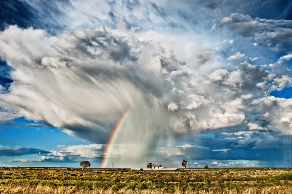
Photos of Booroorban


Booroorban Weather

Predicción: Few clouds
Temperatura: 14.9°
Humedad: 54%
Hora actual: 12:00 AM
Amanece: 08:45 PM
Anochece: 07:55 AM
Batehaven, Australia
Latitude: -35.7313 // Longitude: 150.198
Photos of Batehaven


Batehaven Weather

Predicción: Light rain
Temperatura: 15.1°
Humedad: 96%
Hora actual: 12:59 AM
Amanece: 06:25 AM
Anochece: 05:31 PM


