Distance between  Boomer Bay and
  Bridge Creek
417.79 mi Straight Distance
580.87 mi Driving Distance
14 hours 41 mins Estimated Driving Time
The straight distance between Boomer Bay (Tasmania) and Bridge Creek (Victoria) is 417.79 mi, but the driving distance is 580.87 mi.
It takes to go from Boomer Bay to Bridge Creek.
Driving directions from Boomer Bay to Bridge Creek
Distance in kilometers
Straight distance: 672.22 km. Route distance: 934.62 km
Boomer Bay, Australia
Latitude: -42.8642 // Longitude: 147.835
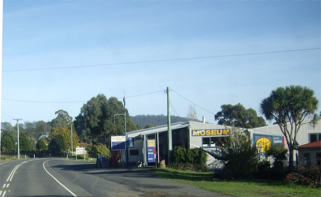
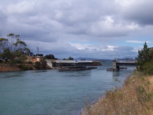
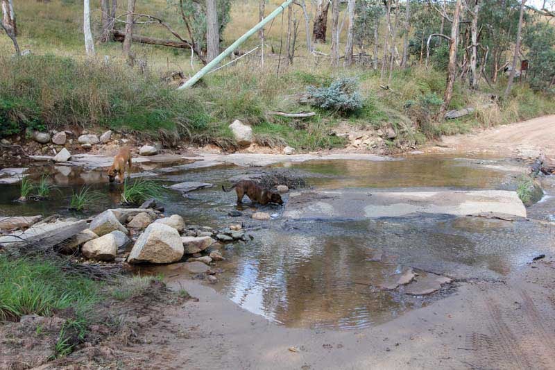
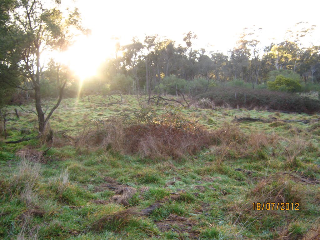
Photos of Boomer Bay
Boomer Bay Weather

Predicción: Overcast clouds
Temperatura: 15.0°
Humedad: 64%
Hora actual: 12:00 AM
Amanece: 08:42 PM
Anochece: 07:33 AM
Bridge Creek, Australia
Latitude: -36.9638 // Longitude: 146.109
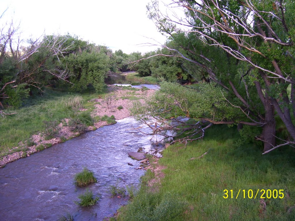
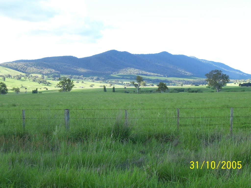
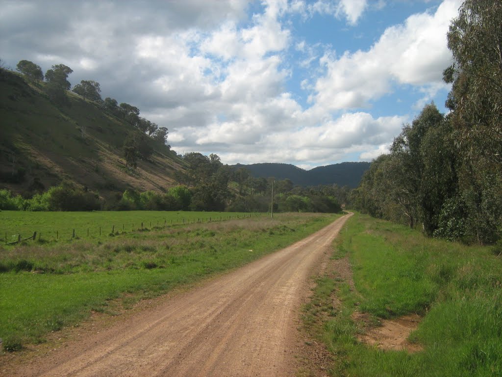
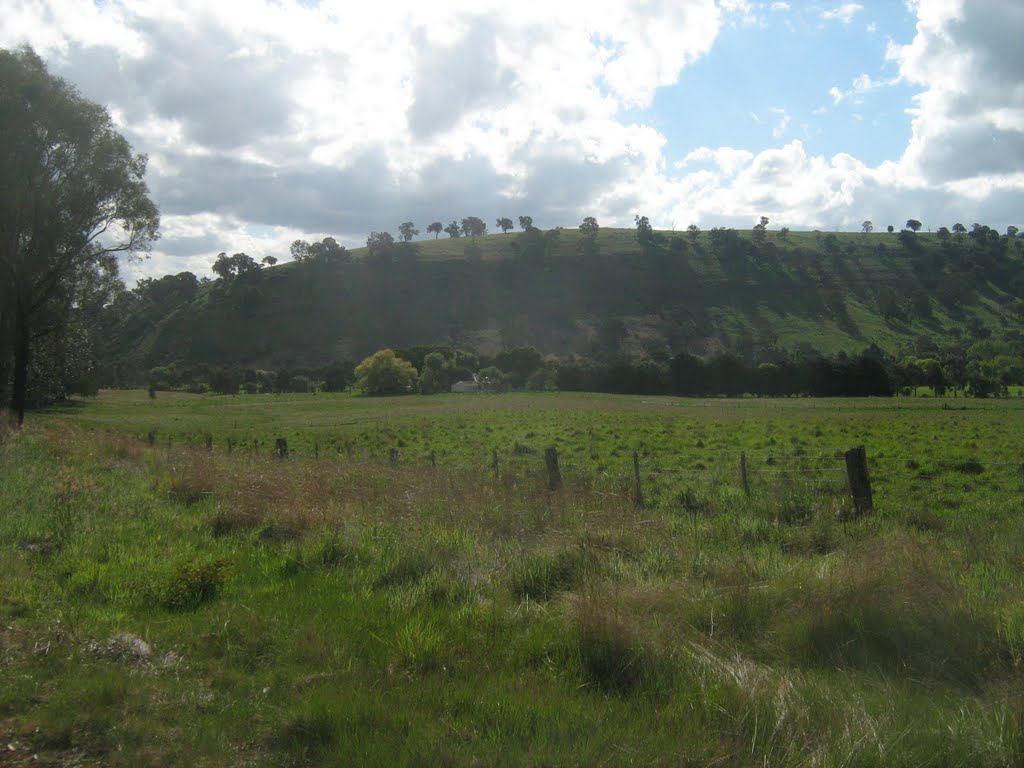
Photos of Bridge Creek
Bridge Creek Weather

Predicción: Clear sky
Temperatura: 16.7°
Humedad: 50%
Hora actual: 12:00 AM
Amanece: 08:42 PM
Anochece: 07:47 AM


