Distance between  Bonville and
  Bombala
501.51 mi Straight Distance
614.21 mi Driving Distance
9 hours 57 mins Estimated Driving Time
The straight distance between Bonville (New South Wales) and Bombala (New South Wales) is 501.51 mi, but the driving distance is 614.21 mi.
It takes to go from Bonville to Bombala.
Driving directions from Bonville to Bombala
Distance in kilometers
Straight distance: 806.94 km. Route distance: 988.27 km
Bonville, Australia
Latitude: -30.3762 // Longitude: 153.035
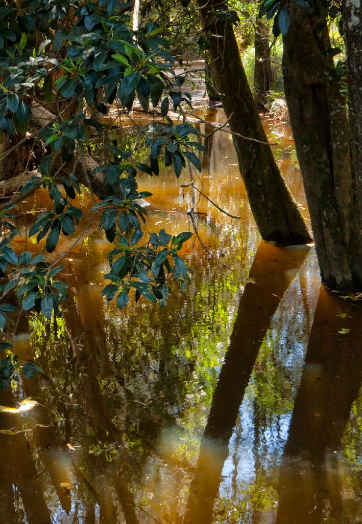
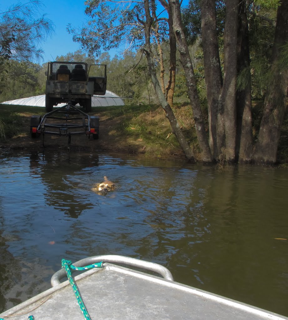
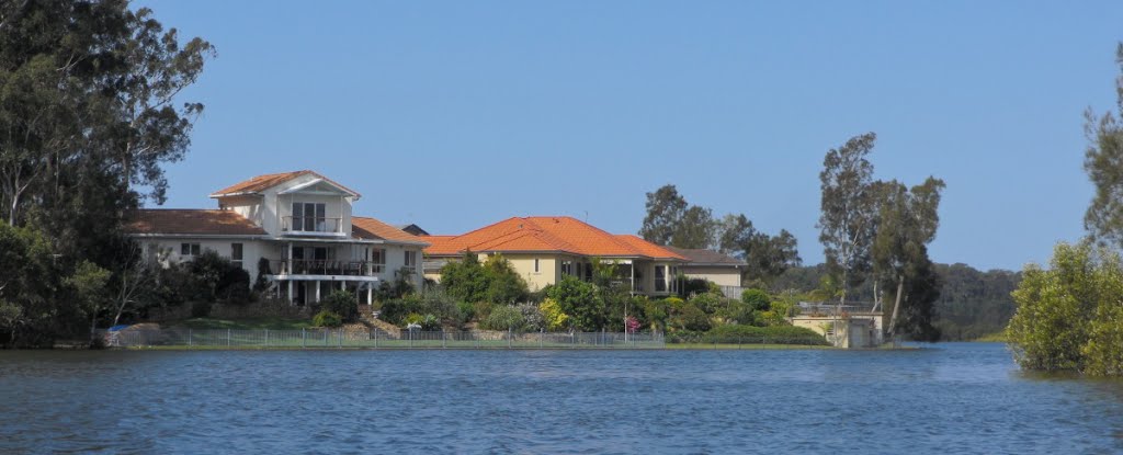
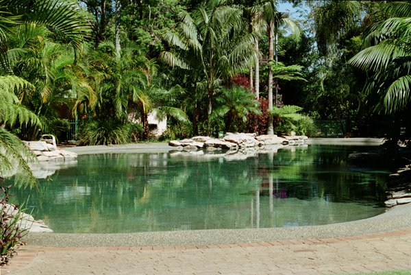
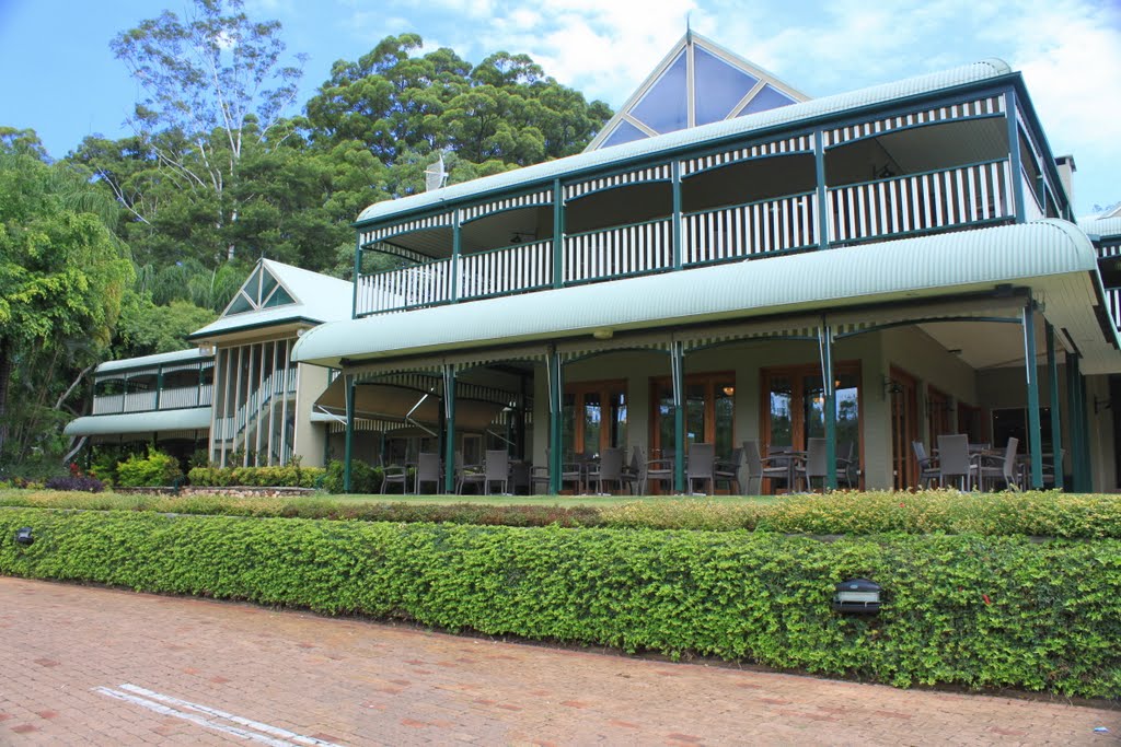
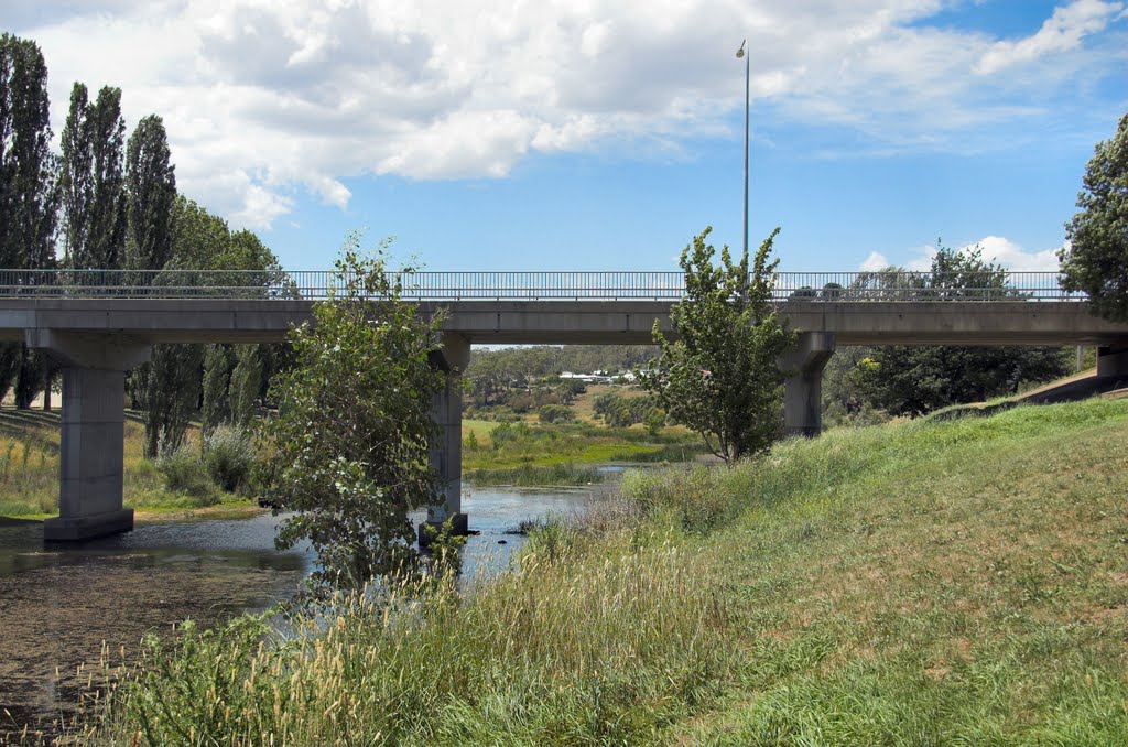
Photos of Bonville
Bonville Weather

Predicción: Clear sky
Temperatura: 19.9°
Humedad: 73%
Hora actual: 09:28 AM
Amanece: 06:09 AM
Anochece: 05:24 PM
Bombala, Australia
Latitude: -36.9123 // Longitude: 149.238
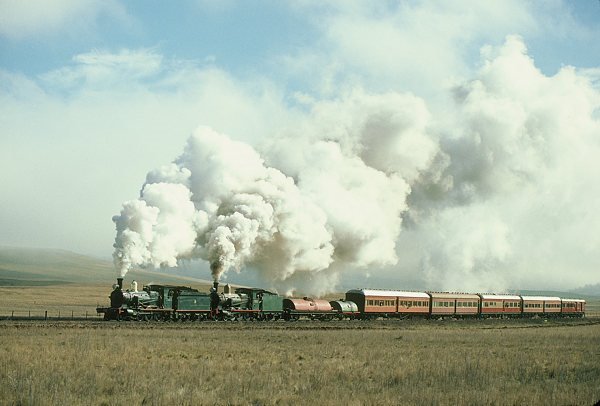
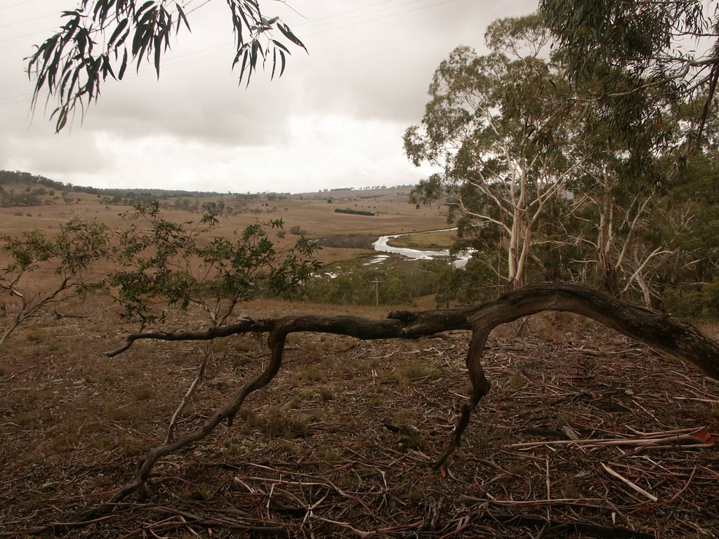
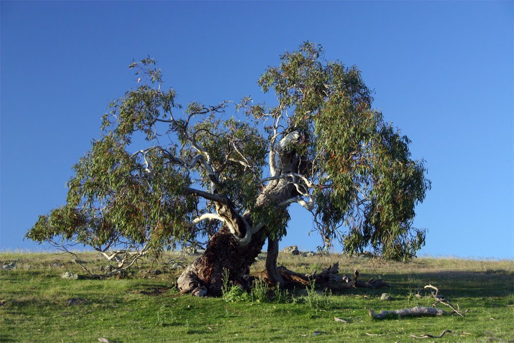
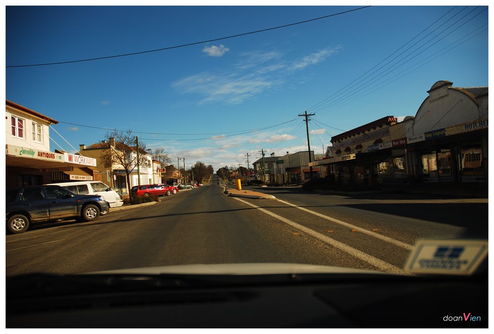
Photos of Bombala
Bombala Weather

Predicción: Broken clouds
Temperatura: 10.1°
Humedad: 72%
Hora actual: 09:28 AM
Amanece: 06:32 AM
Anochece: 05:31 PM


