Distance between  Bonnie Doon and
  Meadow Creek
44.36 mi Straight Distance
66.98 mi Driving Distance
1 hour 9 mins Estimated Driving Time
The straight distance between Bonnie Doon (Victoria) and Meadow Creek (Victoria) is 44.36 mi, but the driving distance is 66.98 mi.
It takes 1 hour 30 mins to go from Bonnie Doon to Meadow Creek.
Driving directions from Bonnie Doon to Meadow Creek
Distance in kilometers
Straight distance: 71.37 km. Route distance: 107.77 km
Bonnie Doon, Australia
Latitude: -37.0266 // Longitude: 145.86
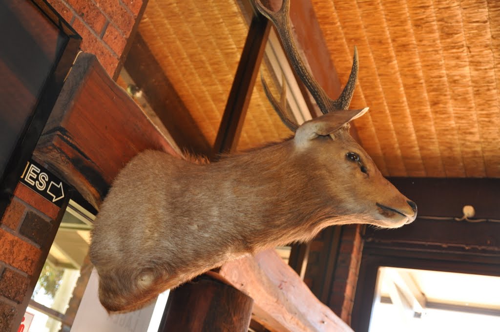
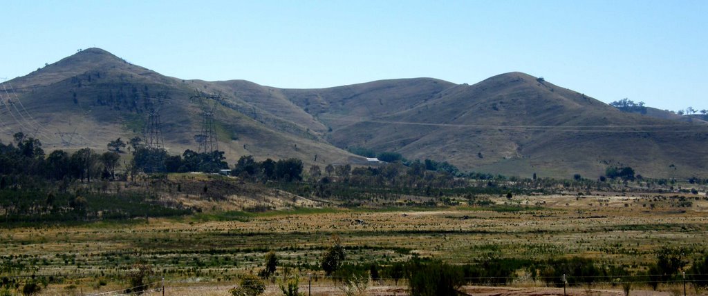
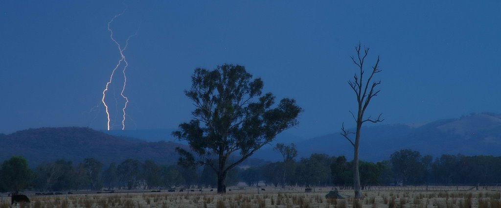
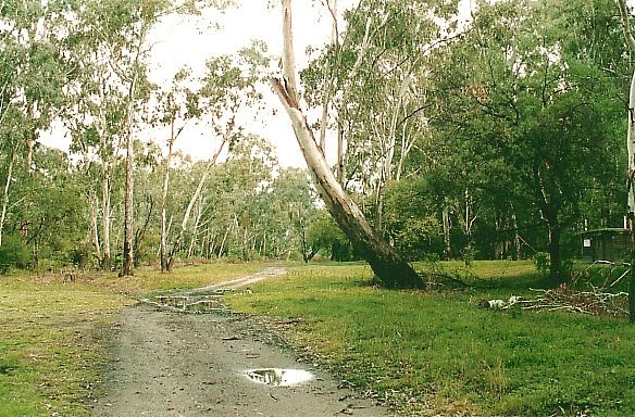
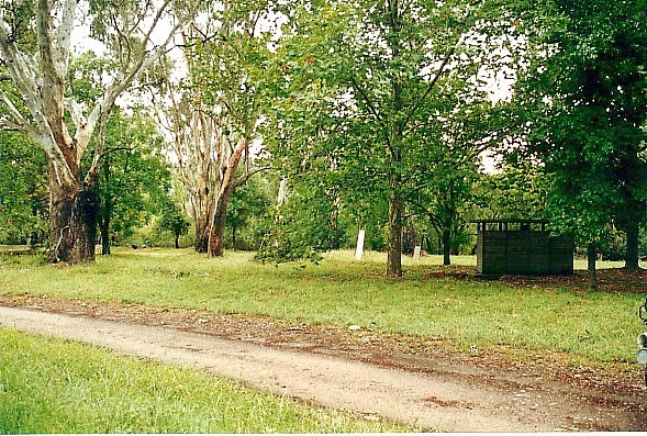
Photos of Bonnie Doon
Bonnie Doon Weather

Predicción: Overcast clouds
Temperatura: 7.9°
Humedad: 95%
Hora actual: 04:39 AM
Amanece: 06:44 AM
Anochece: 05:47 PM
Meadow Creek, Australia
Latitude: -36.5936 // Longitude: 146.452
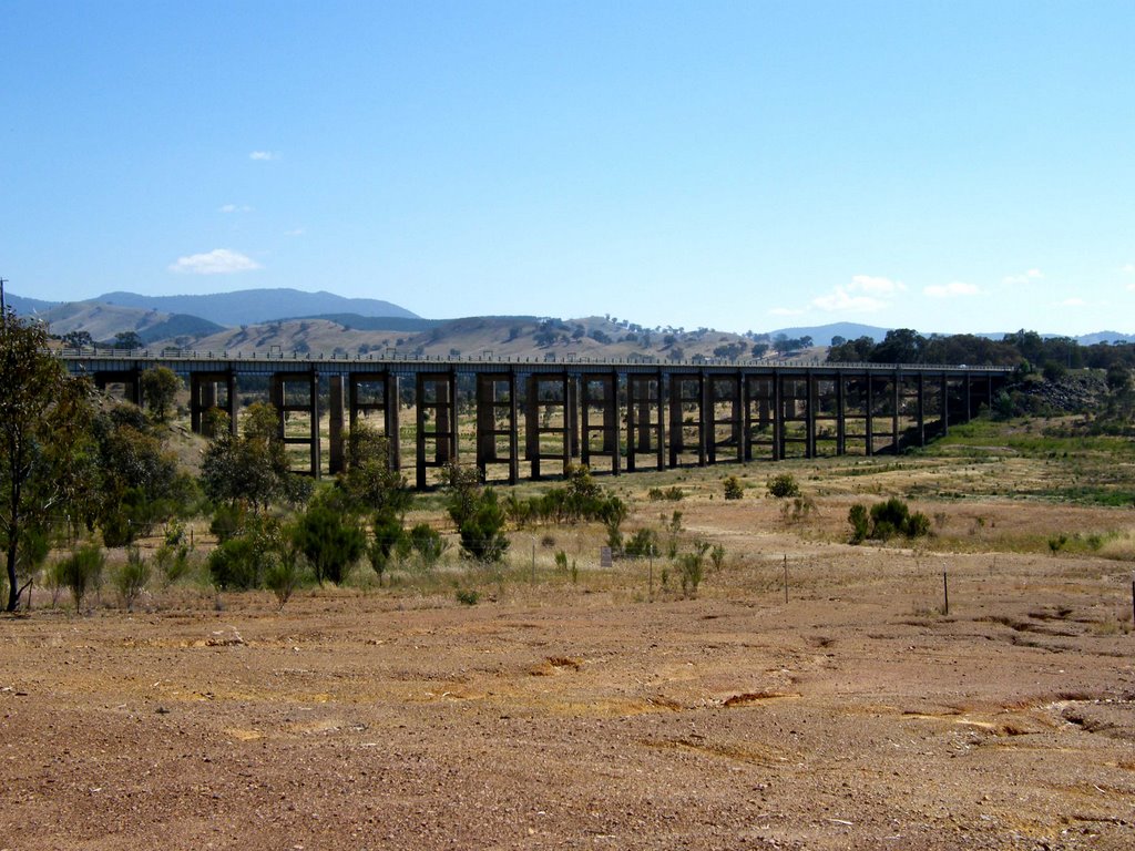
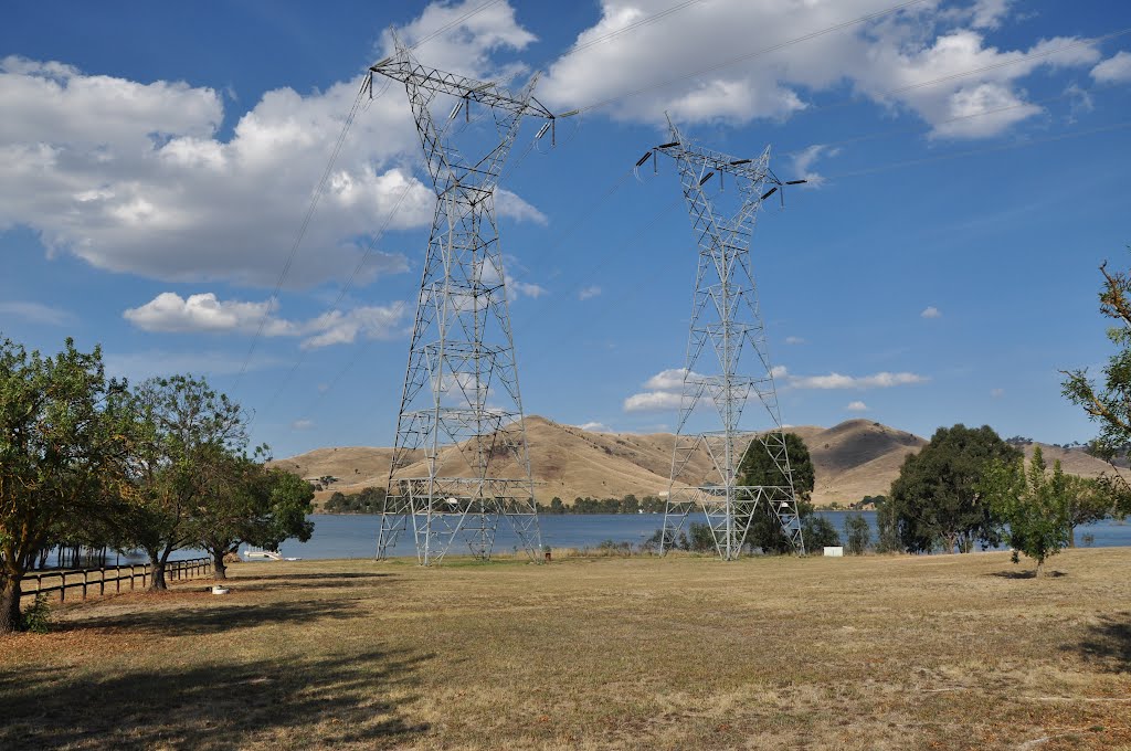
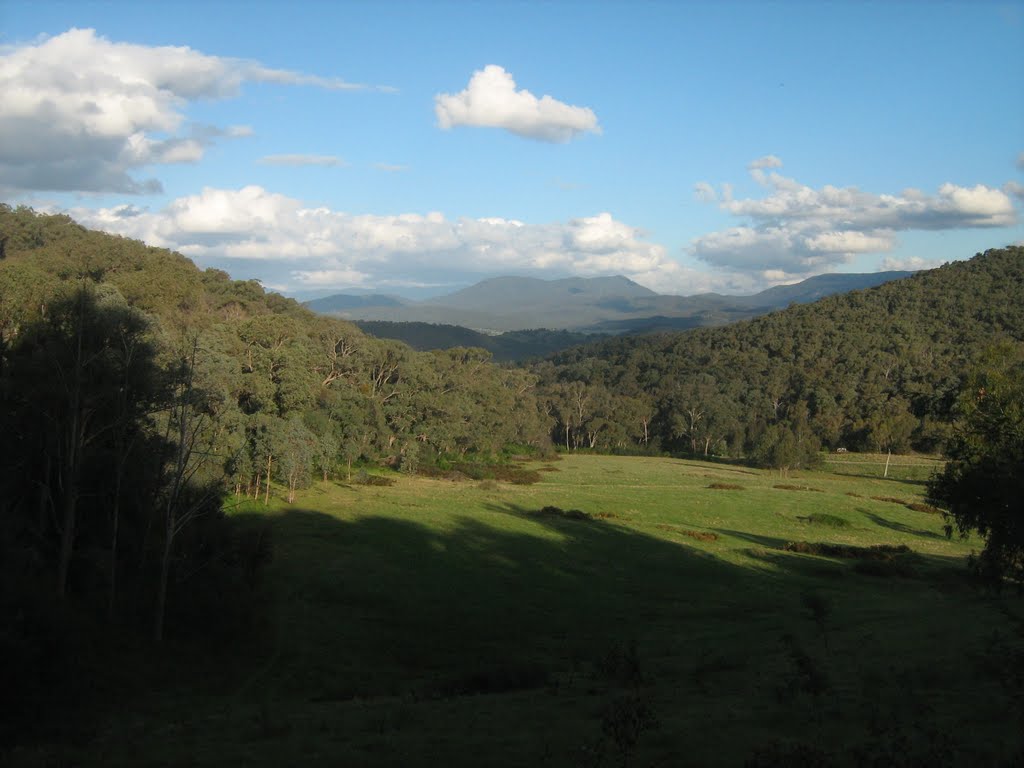
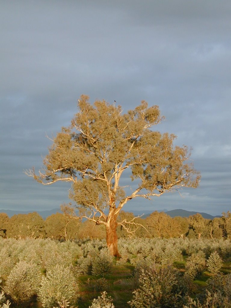
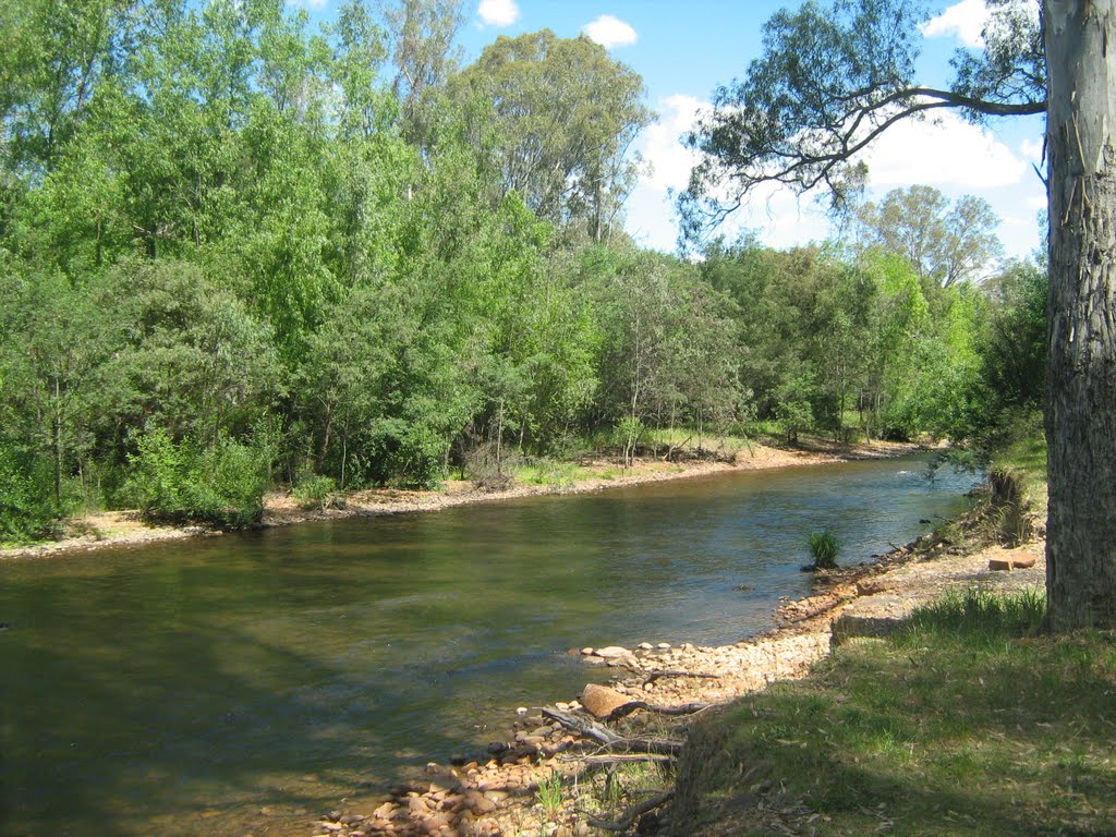
Photos of Meadow Creek
Meadow Creek Weather

Predicción: Overcast clouds
Temperatura: 9.5°
Humedad: 89%
Hora actual: 10:00 AM
Amanece: 06:41 AM
Anochece: 05:45 PM


