Distance between  Bolangum and
  Tarrone
113.78 mi Straight Distance
157.85 mi Driving Distance
3 hours 12 mins Estimated Driving Time
The straight distance between Bolangum (Victoria) and Tarrone (Victoria) is 113.78 mi, but the driving distance is 157.85 mi.
It takes to go from Bolangum to Tarrone.
Driving directions from Bolangum to Tarrone
Distance in kilometers
Straight distance: 183.08 km. Route distance: 253.97 km
Bolangum, Australia
Latitude: -36.7175 // Longitude: 142.985
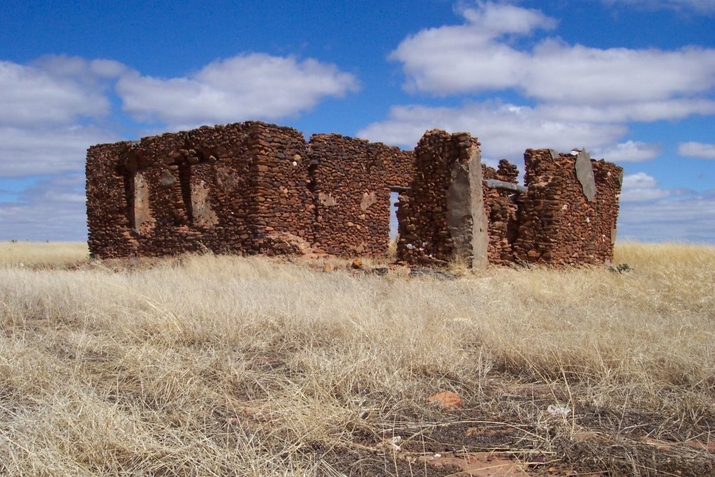
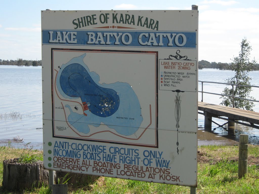
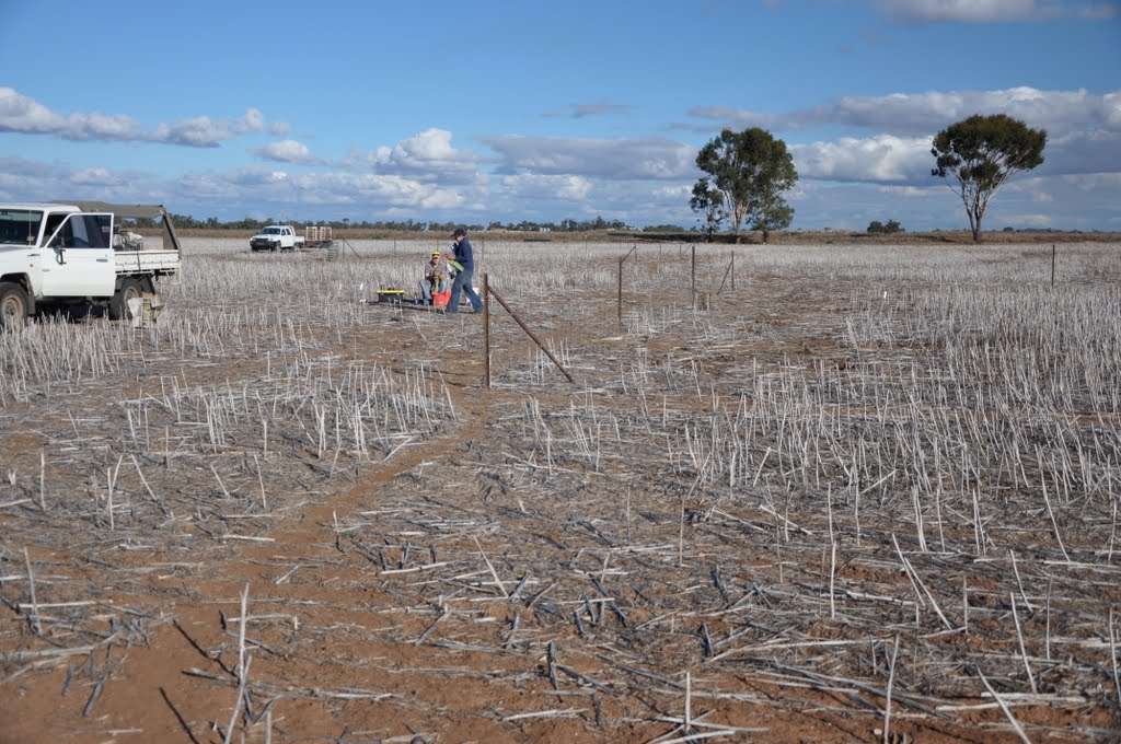
Photos of Bolangum
Bolangum Weather

Predicción: Scattered clouds
Temperatura: 13.6°
Humedad: 59%
Hora actual: 12:00 AM
Amanece: 08:56 PM
Anochece: 07:57 AM
Tarrone, Australia
Latitude: -38.239 // Longitude: 142.191
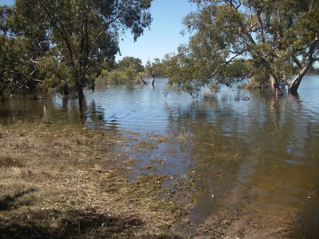
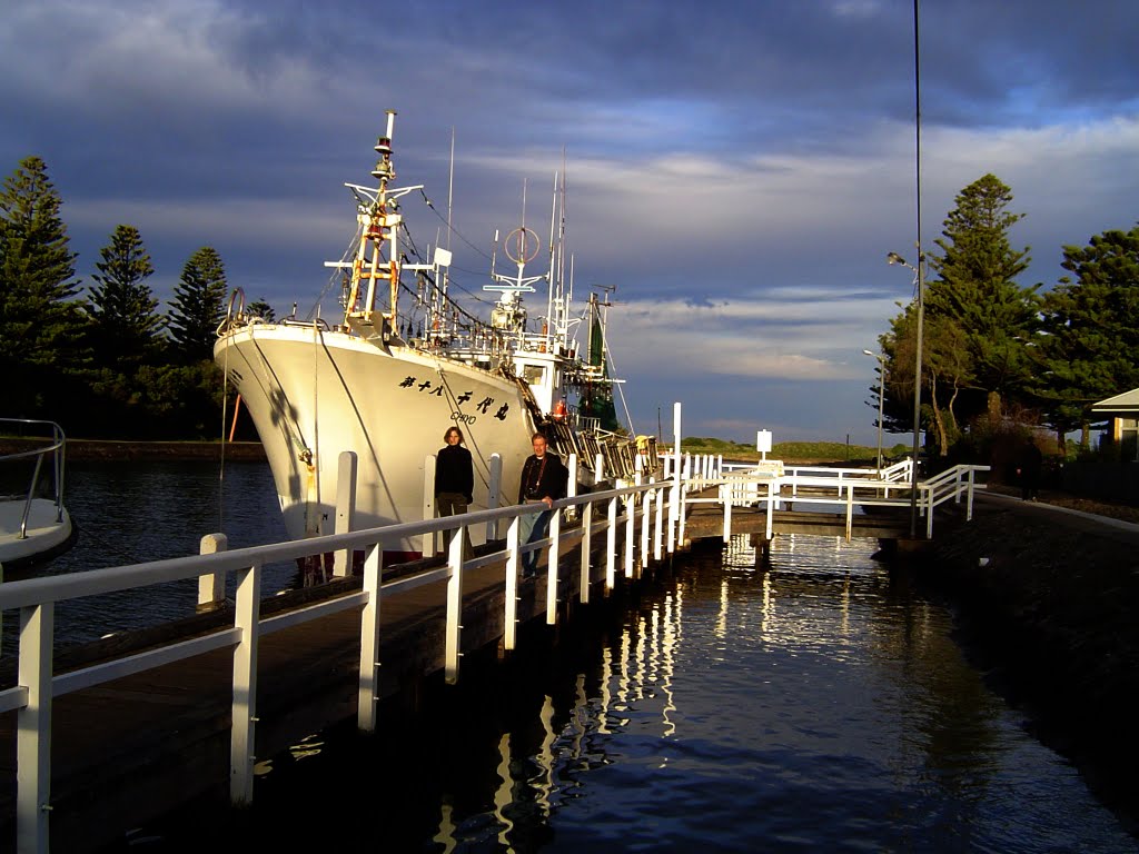
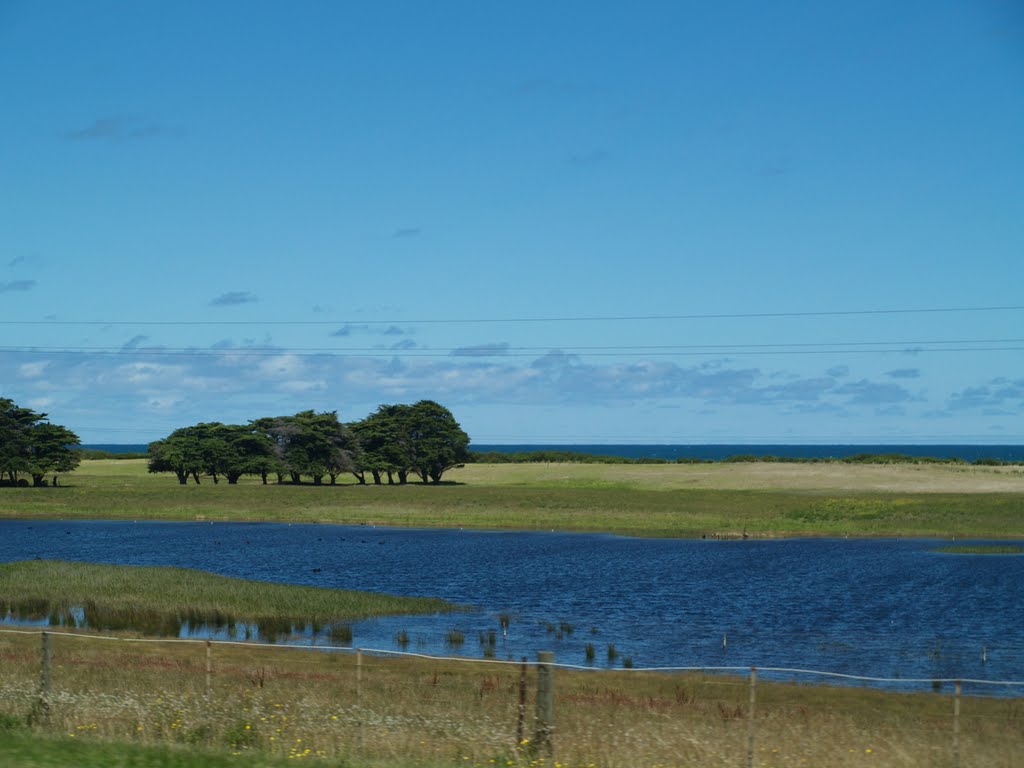
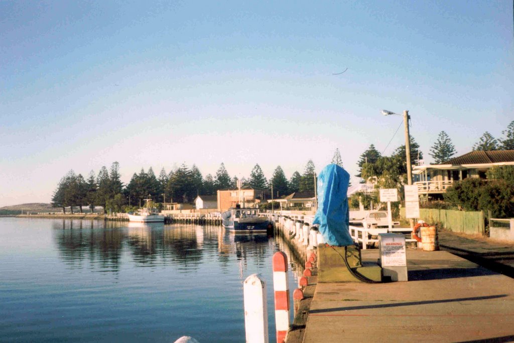
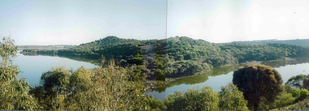
Photos of Tarrone
Tarrone Weather

Predicción: Overcast clouds
Temperatura: 14.0°
Humedad: 69%
Hora actual: 12:00 AM
Amanece: 09:01 PM
Anochece: 07:59 AM


