Distance between  Bodallin and
  Tarcoola
930.30 mi Straight Distance
1,124.36 mi Driving Distance
22 hours 54 mins Estimated Driving Time
The straight distance between Bodallin (Western Australia) and Tarcoola (South Australia) is 930.30 mi, but the driving distance is 1,124.36 mi.
It takes to go from Bodallin to Tarcoola.
Driving directions from Bodallin to Tarcoola
Distance in kilometers
Straight distance: 1,496.86 km. Route distance: 1,809.10 km
Bodallin, Australia
Latitude: -31.3705 // Longitude: 118.856
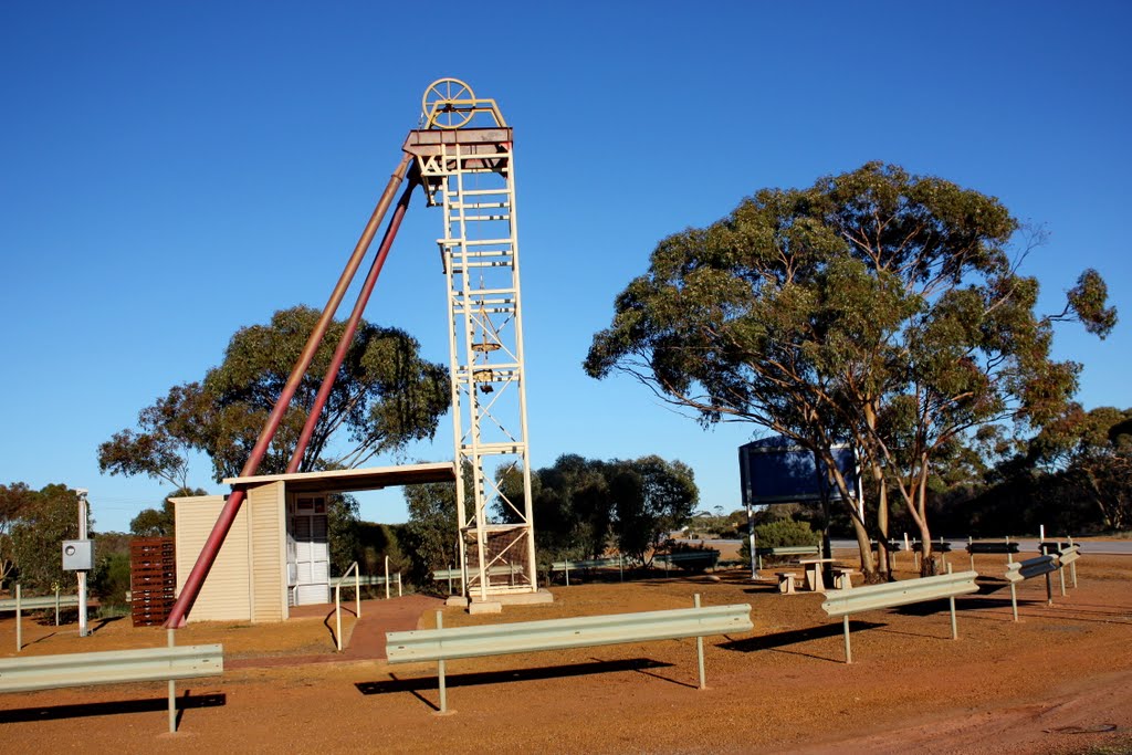
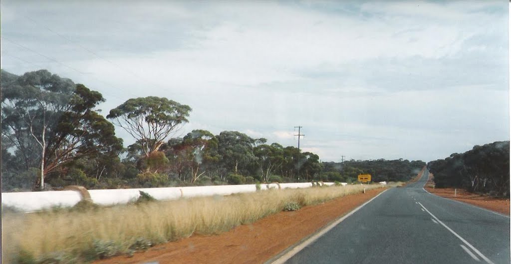
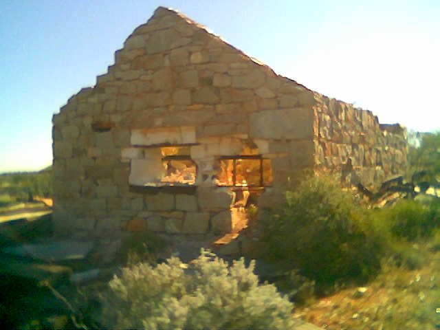
Photos of Bodallin
Bodallin Weather

Predicción: Clear sky
Temperatura: 25.3°
Humedad: 30%
Hora actual: 12:00 AM
Amanece: 10:26 PM
Anochece: 09:42 AM
Tarcoola, Australia
Latitude: -30.7093 // Longitude: 134.565
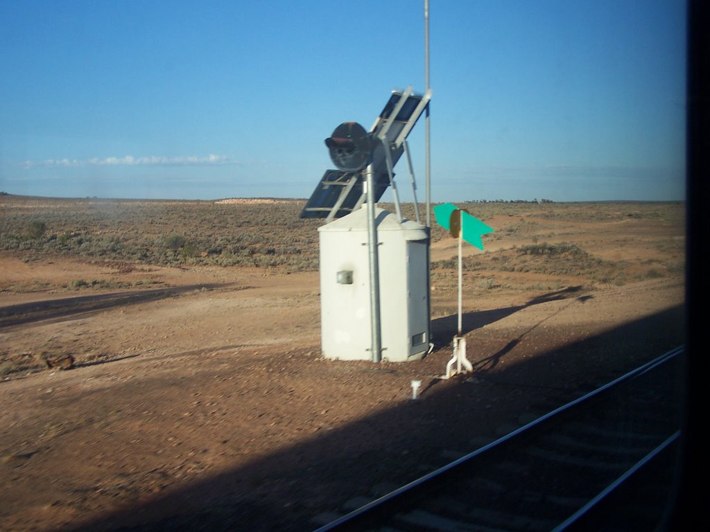
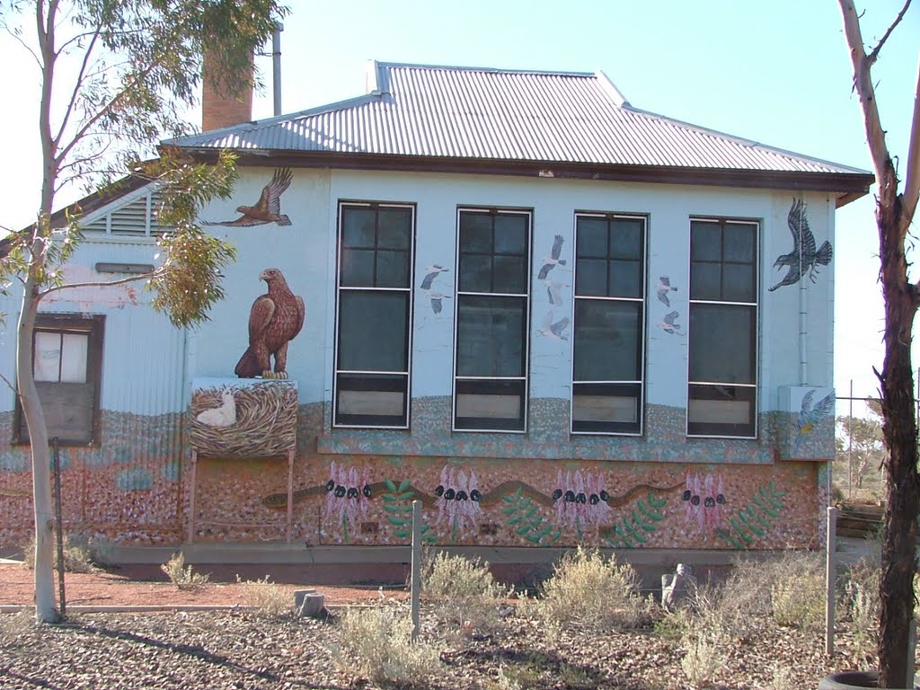
Photos of Tarcoola
Tarcoola Weather

Predicción: Clear sky
Temperatura: 22.0°
Humedad: 38%
Hora actual: 06:05 PM
Amanece: 06:52 AM
Anochece: 06:10 PM


