Distance between  Bochara and
  Tootool
328.42 mi Straight Distance
435.06 mi Driving Distance
7 hours 13 mins Estimated Driving Time
The straight distance between Bochara (Victoria) and Tootool (New South Wales) is 328.42 mi, but the driving distance is 435.06 mi.
It takes to go from Bochara to Tootool.
Driving directions from Bochara to Tootool
Distance in kilometers
Straight distance: 528.43 km. Route distance: 700.01 km
Bochara, Australia
Latitude: -37.6963 // Longitude: 141.904
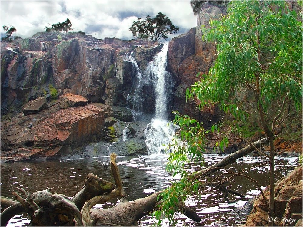
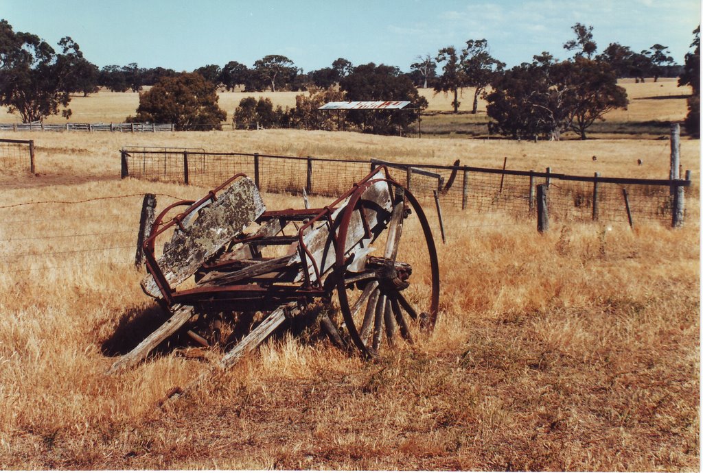
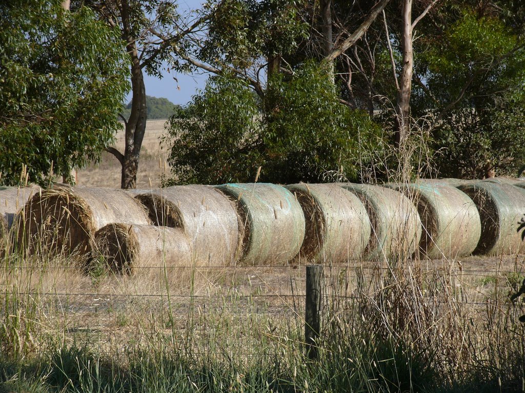
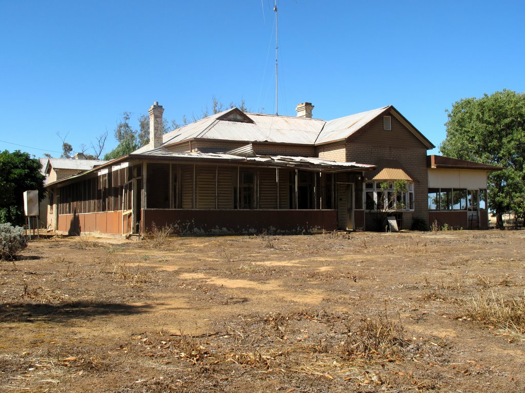
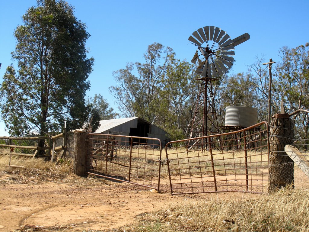
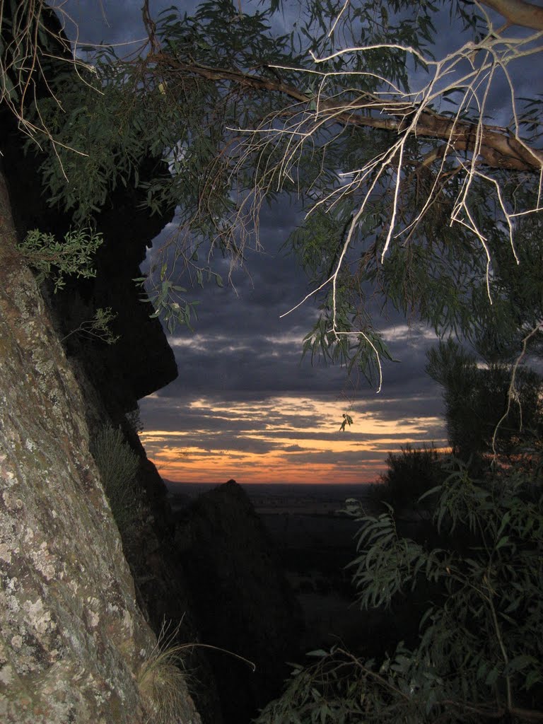
Photos of Bochara
Bochara Weather

Predicción: Scattered clouds
Temperatura: 16.4°
Humedad: 53%
Hora actual: 12:00 AM
Amanece: 09:03 PM
Anochece: 07:59 AM
Tootool, Australia
Latitude: -35.2619 // Longitude: 146.983
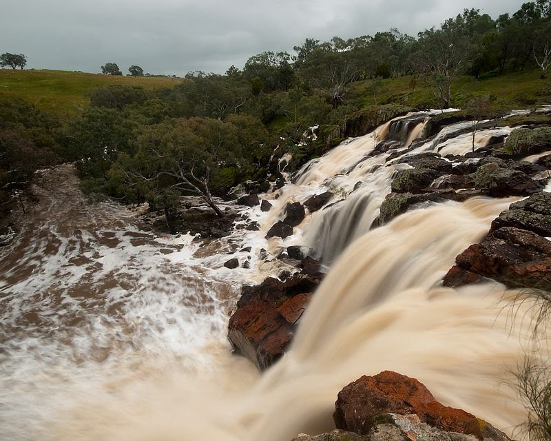
Photos of Tootool
Tootool Weather

Predicción: Few clouds
Temperatura: 17.8°
Humedad: 46%
Hora actual: 12:00 AM
Amanece: 08:39 PM
Anochece: 07:42 AM


