Distance between  Blyth and
  Arno Bay
110.56 mi Straight Distance
257.56 mi Driving Distance
4 hours 1 mins Estimated Driving Time
The straight distance between Blyth (South Australia) and Arno Bay (South Australia) is 110.56 mi, but the driving distance is 257.56 mi.
It takes 4 hours 14 mins to go from Blyth to Arno Bay.
Driving directions from Blyth to Arno Bay
Distance in kilometers
Straight distance: 177.90 km. Route distance: 414.41 km
Blyth, Australia
Latitude: -33.8464 // Longitude: 138.489
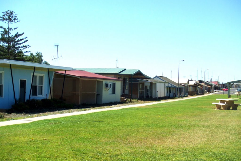
Photos of Blyth
Blyth Weather

Predicción: Clear sky
Temperatura: 14.8°
Humedad: 71%
Hora actual: 12:00 AM
Amanece: 09:09 PM
Anochece: 08:21 AM
Arno Bay, Australia
Latitude: -33.9085 // Longitude: 136.563
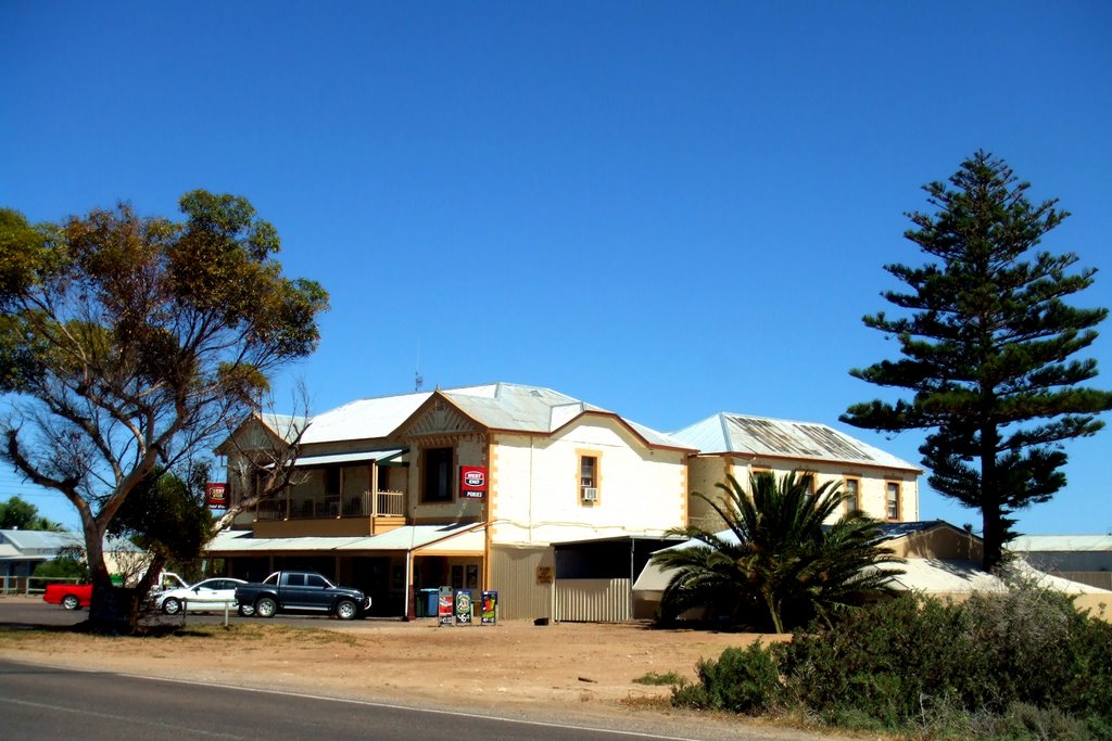
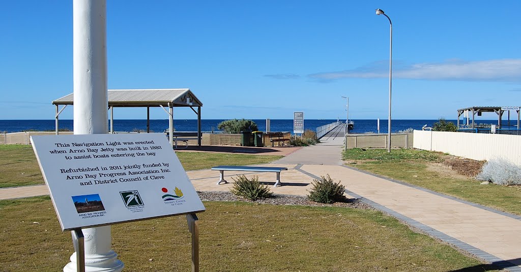
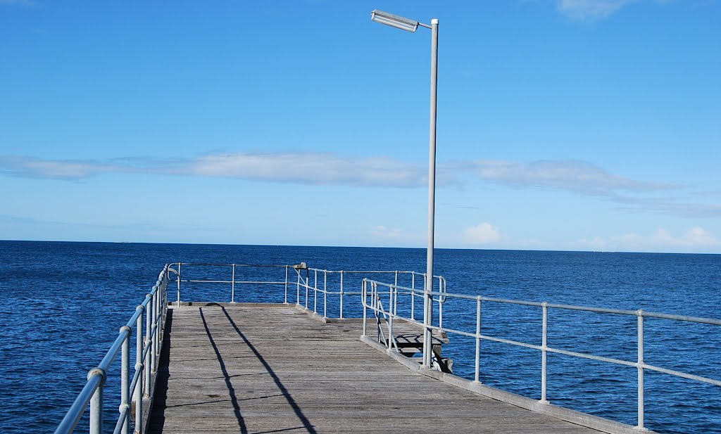
Photos of Arno Bay
Arno Bay Weather

Predicción: Clear sky
Temperatura: 17.0°
Humedad: 71%
Hora actual: 07:18 PM
Amanece: 06:47 AM
Anochece: 05:59 PM


