Distance between  Blue Rocks and
  Katandra West
294.63 mi Straight Distance
568.63 mi Driving Distance
14 hours 32 mins Estimated Driving Time
The straight distance between Blue Rocks (Tasmania) and Katandra West (Victoria) is 294.63 mi, but the driving distance is 568.63 mi.
It takes to go from Blue Rocks to Katandra West.
Driving directions from Blue Rocks to Katandra West
Distance in kilometers
Straight distance: 474.06 km. Route distance: 914.93 km
Blue Rocks, Australia
Latitude: -40.0552 // Longitude: 147.951
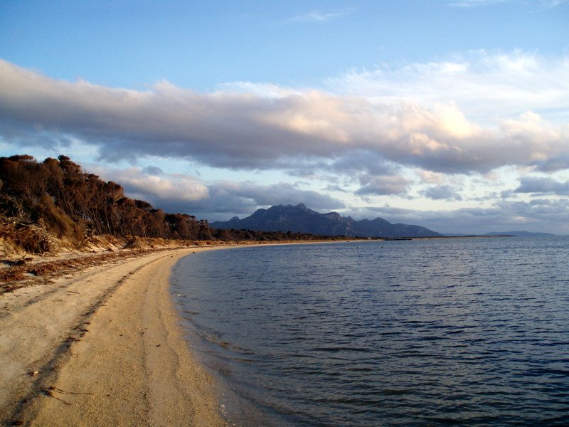
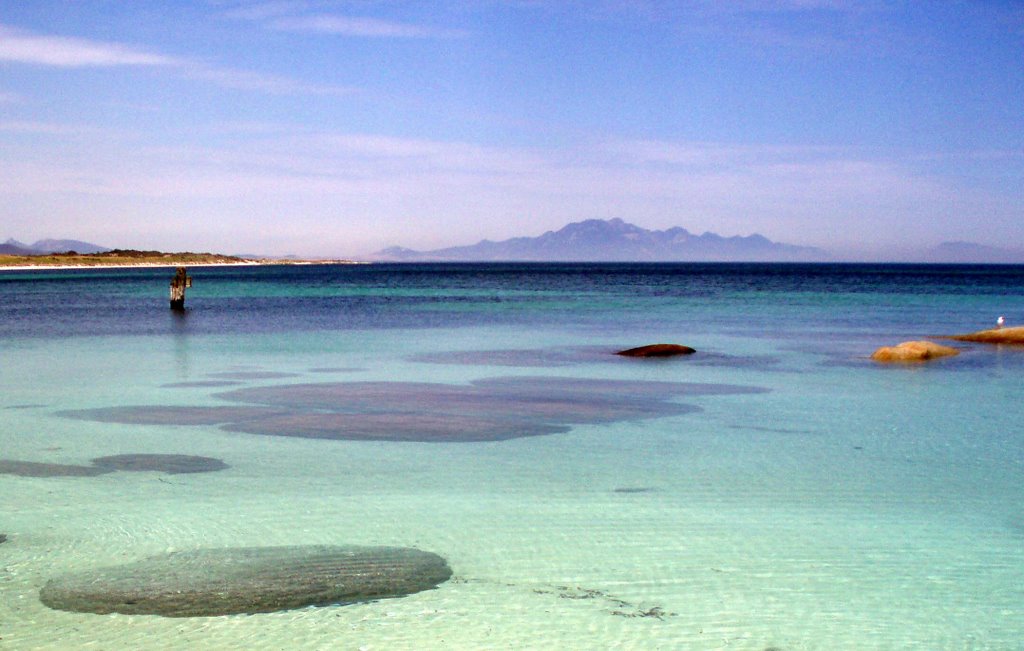
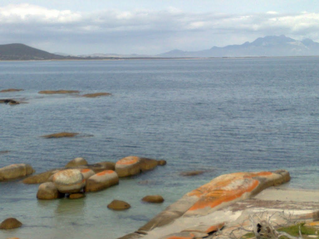
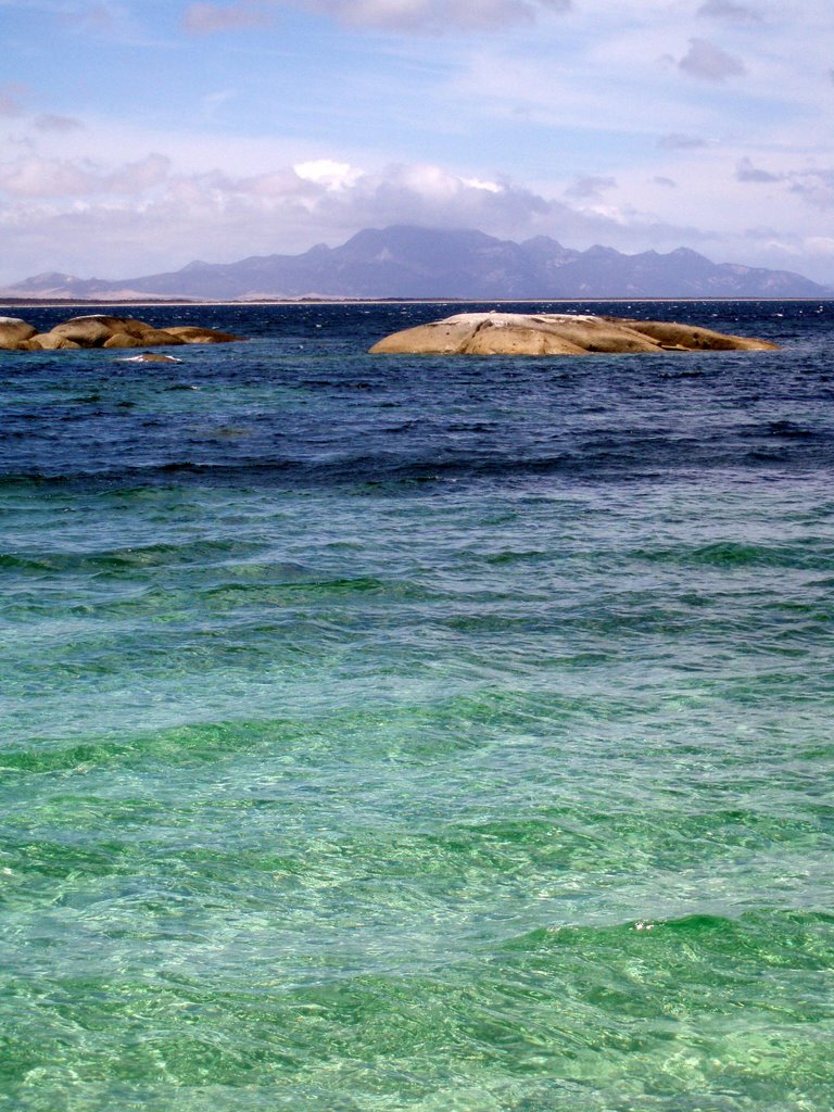
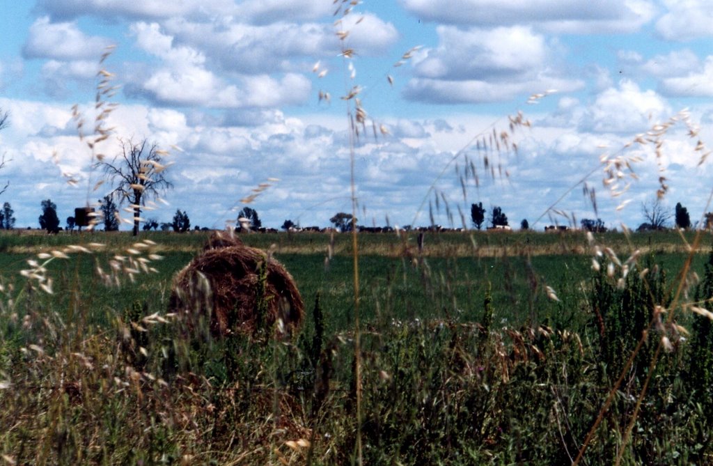
Photos of Blue Rocks
Blue Rocks Weather

Predicción: Broken clouds
Temperatura: 15.8°
Humedad: 62%
Hora actual: 03:38 PM
Amanece: 06:38 AM
Anochece: 05:37 PM
Katandra West, Australia
Latitude: -36.2283 // Longitude: 145.558
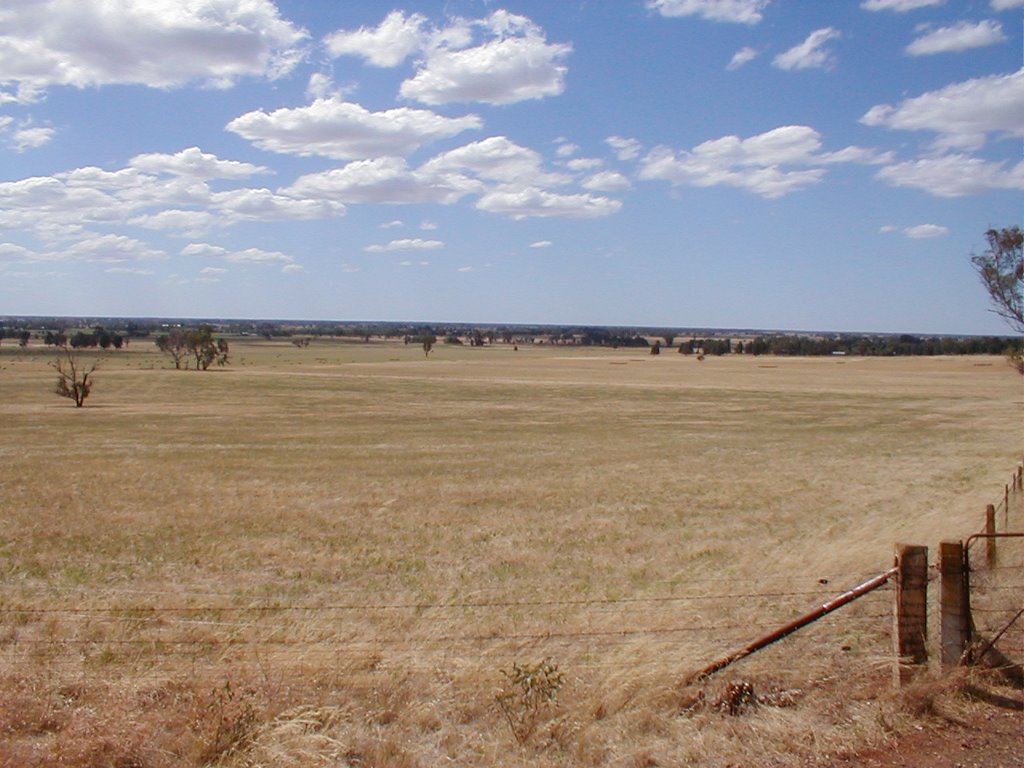
Photos of Katandra West
Katandra West Weather

Predicción: Broken clouds
Temperatura: 21.5°
Humedad: 36%
Hora actual: 03:38 PM
Amanece: 06:43 AM
Anochece: 05:51 PM


