Distance between  Blighty and
  Yaraka
743.53 mi Straight Distance
1,058.59 mi Driving Distance
18 hours 38 mins Estimated Driving Time
The straight distance between Blighty (New South Wales) and Yaraka (Queensland) is 743.53 mi, but the driving distance is 1,058.59 mi.
It takes to go from Blighty to Yaraka.
Driving directions from Blighty to Yaraka
Distance in kilometers
Straight distance: 1,196.34 km. Route distance: 1,703.26 km
Blighty, Australia
Latitude: -35.5921 // Longitude: 145.287
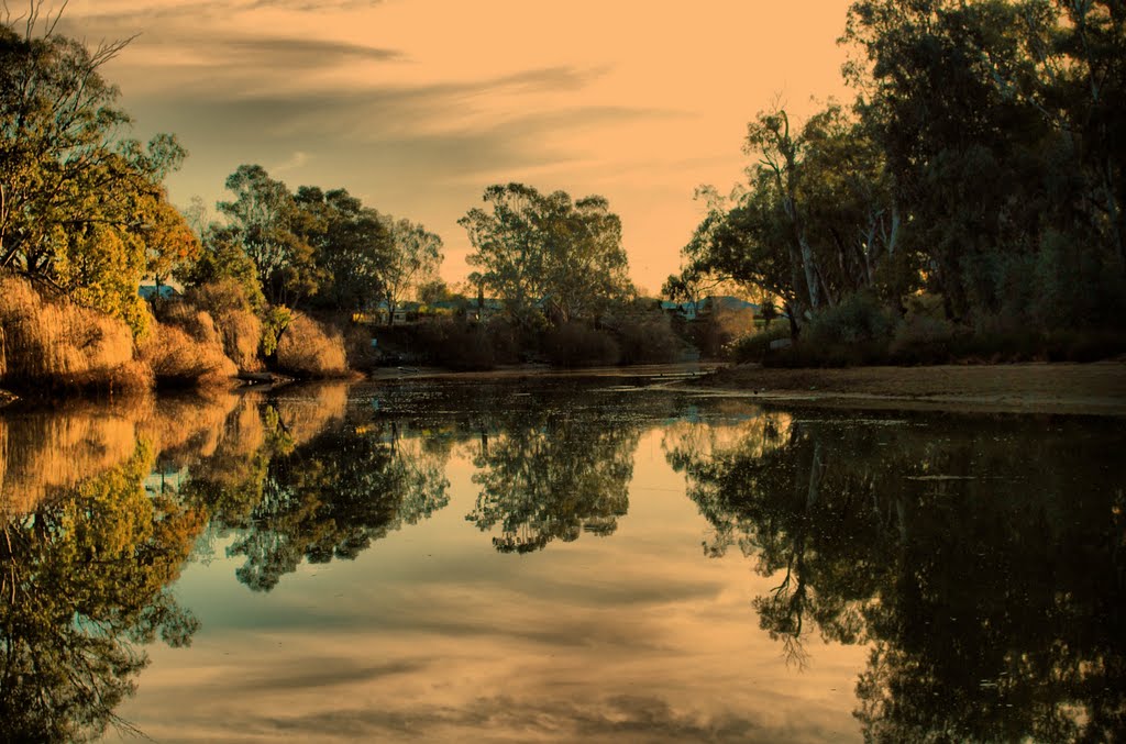
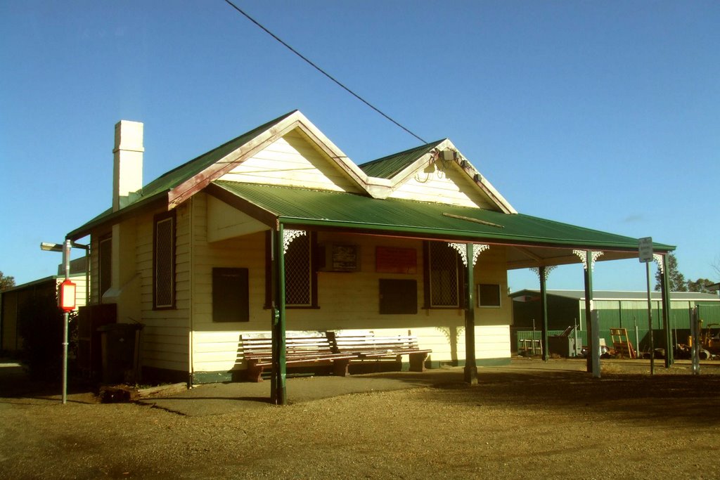
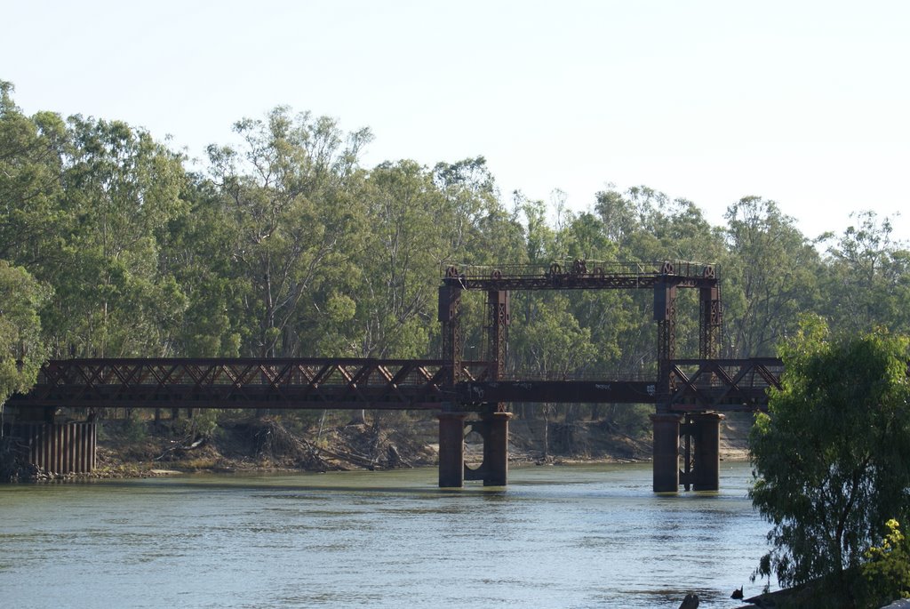
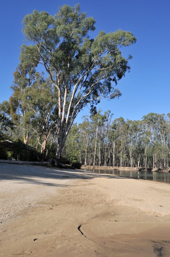
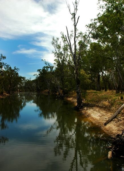
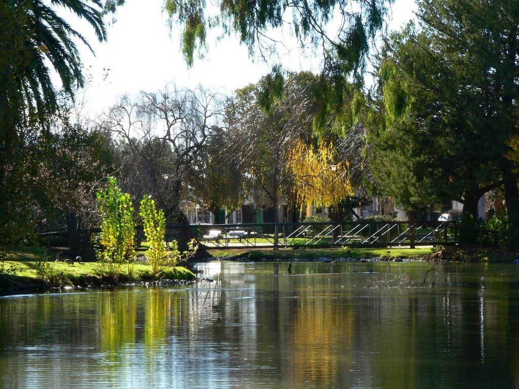
Photos of Blighty
Blighty Weather

Predicción: Few clouds
Temperatura: 10.1°
Humedad: 85%
Hora actual: 12:00 AM
Amanece: 08:44 PM
Anochece: 07:52 AM
Yaraka, Australia
Latitude: -24.8813 // Longitude: 144.079
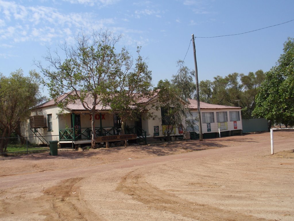
Photos of Yaraka
Yaraka Weather

Predicción: Few clouds
Temperatura: 22.3°
Humedad: 62%
Hora actual: 12:00 AM
Amanece: 08:39 PM
Anochece: 08:07 AM


