Distance between  Blayney and
  Yuleba
478.12 mi Straight Distance
604.45 mi Driving Distance
9 hours 55 mins Estimated Driving Time
The straight distance between Blayney (New South Wales) and Yuleba (Queensland) is 478.12 mi, but the driving distance is 604.45 mi.
It takes to go from Blayney to Yuleba.
Driving directions from Blayney to Yuleba
Distance in kilometers
Straight distance: 769.30 km. Route distance: 972.56 km
Blayney, Australia
Latitude: -33.5323 // Longitude: 149.255
Photos of Blayney
Blayney Weather

Predicción: Clear sky
Temperatura: 10.0°
Humedad: 93%
Hora actual: 07:12 AM
Amanece: 06:26 AM
Anochece: 05:38 PM
Yuleba, Australia
Latitude: -26.6132 // Longitude: 149.383
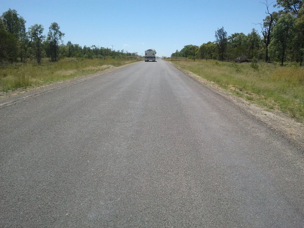
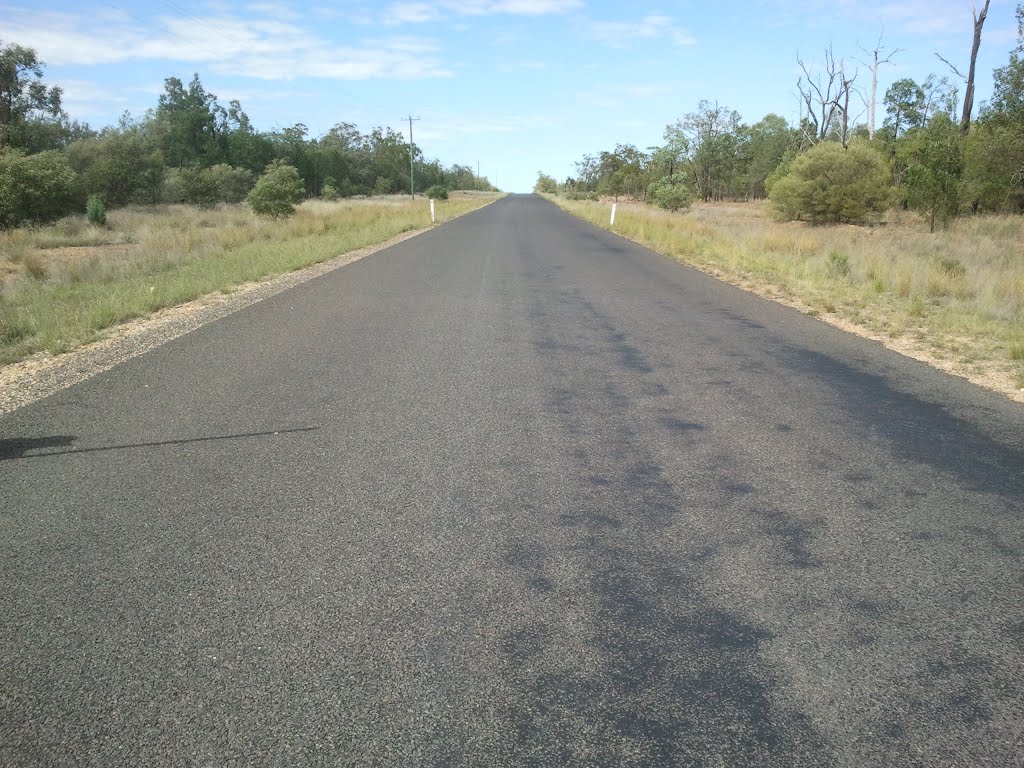
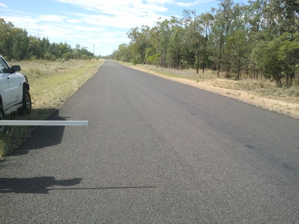
Photos of Yuleba
Yuleba Weather

Predicción: Clear sky
Temperatura: 18.2°
Humedad: 87%
Hora actual: 10:00 AM
Amanece: 06:19 AM
Anochece: 05:44 PM


