Distance between  Blackwood Creek and
  Cobram East
402.73 mi Straight Distance
502.96 mi Driving Distance
13 hours 5 mins Estimated Driving Time
The straight distance between Blackwood Creek (Tasmania) and Cobram East (Victoria) is 402.73 mi, but the driving distance is 502.96 mi.
It takes 1 day 1 hour to go from Blackwood Creek to Cobram East.
Driving directions from Blackwood Creek to Cobram East
Distance in kilometers
Straight distance: 647.99 km. Route distance: 809.26 km
Blackwood Creek, Australia
Latitude: -41.7375 // Longitude: 146.914
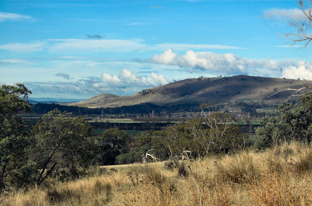
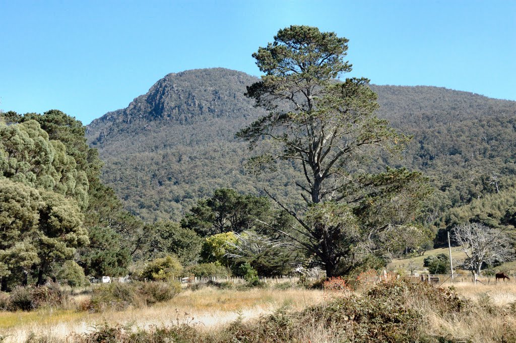
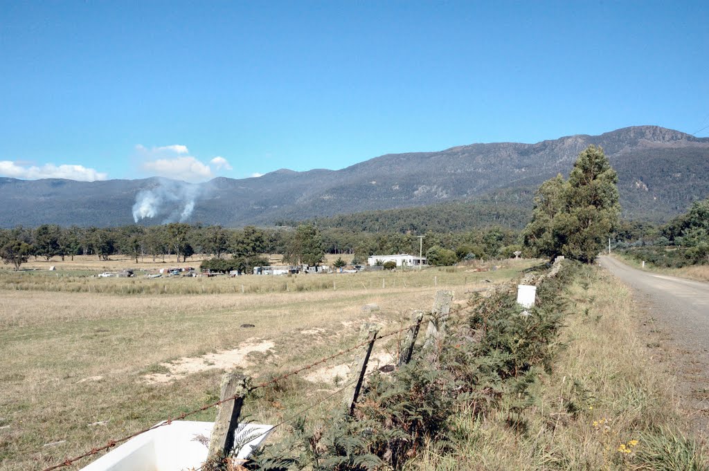
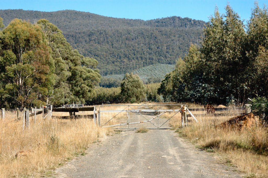
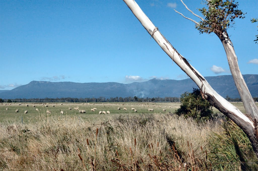
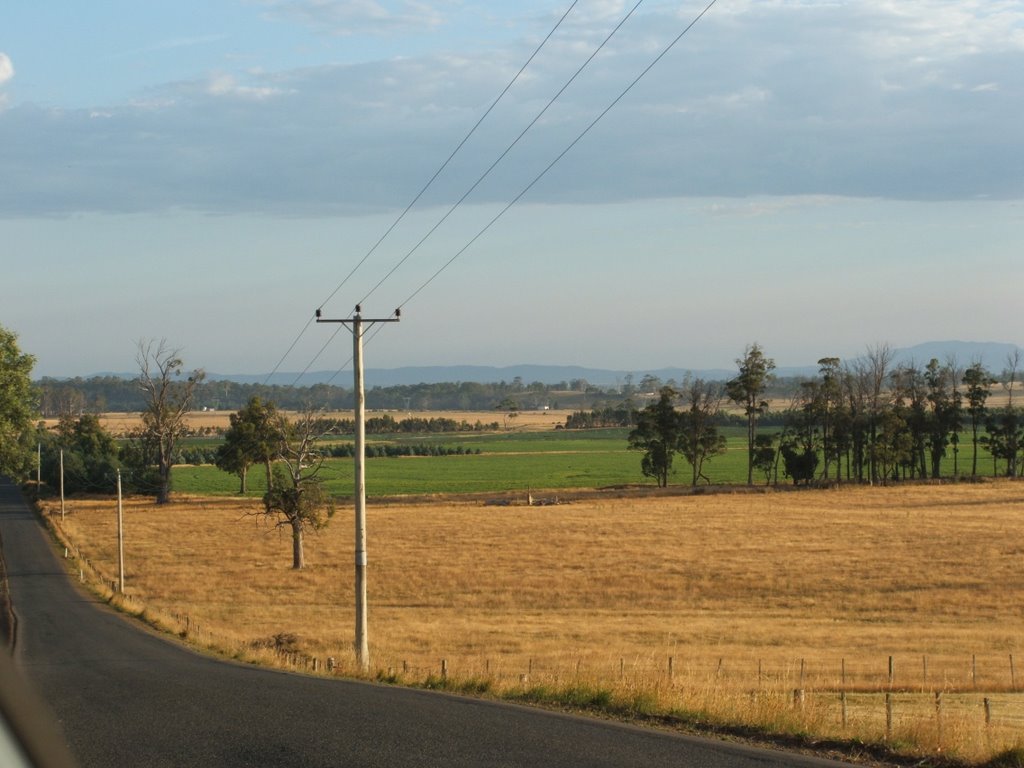
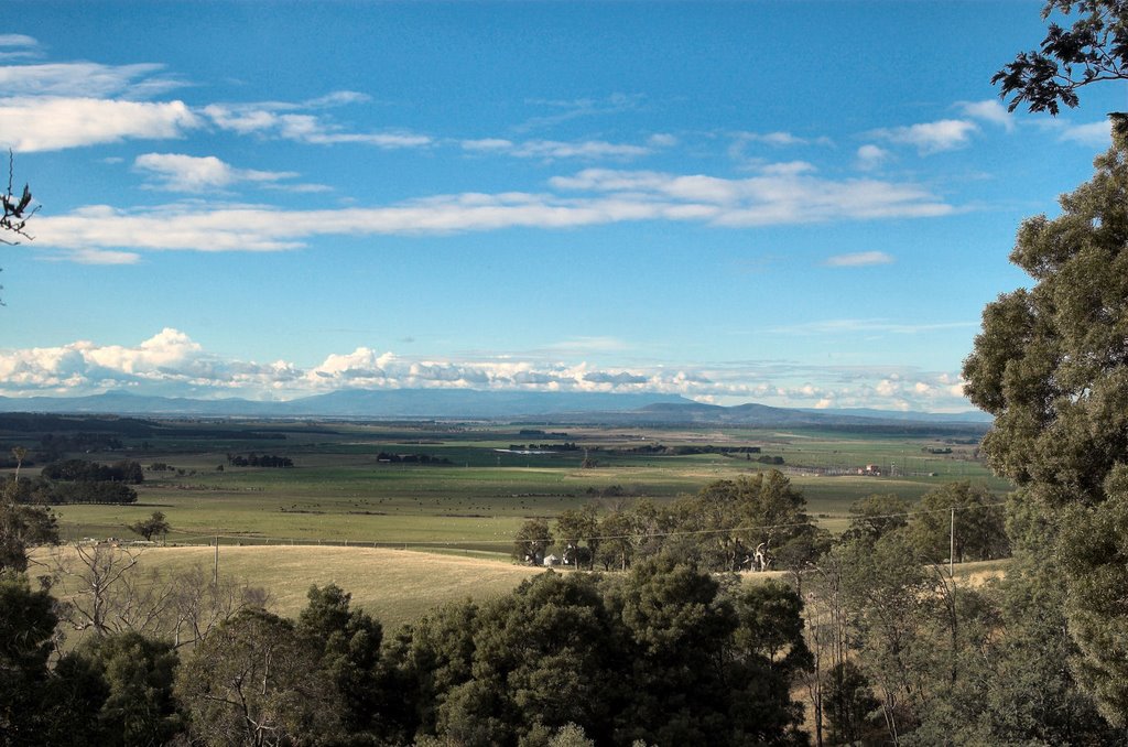
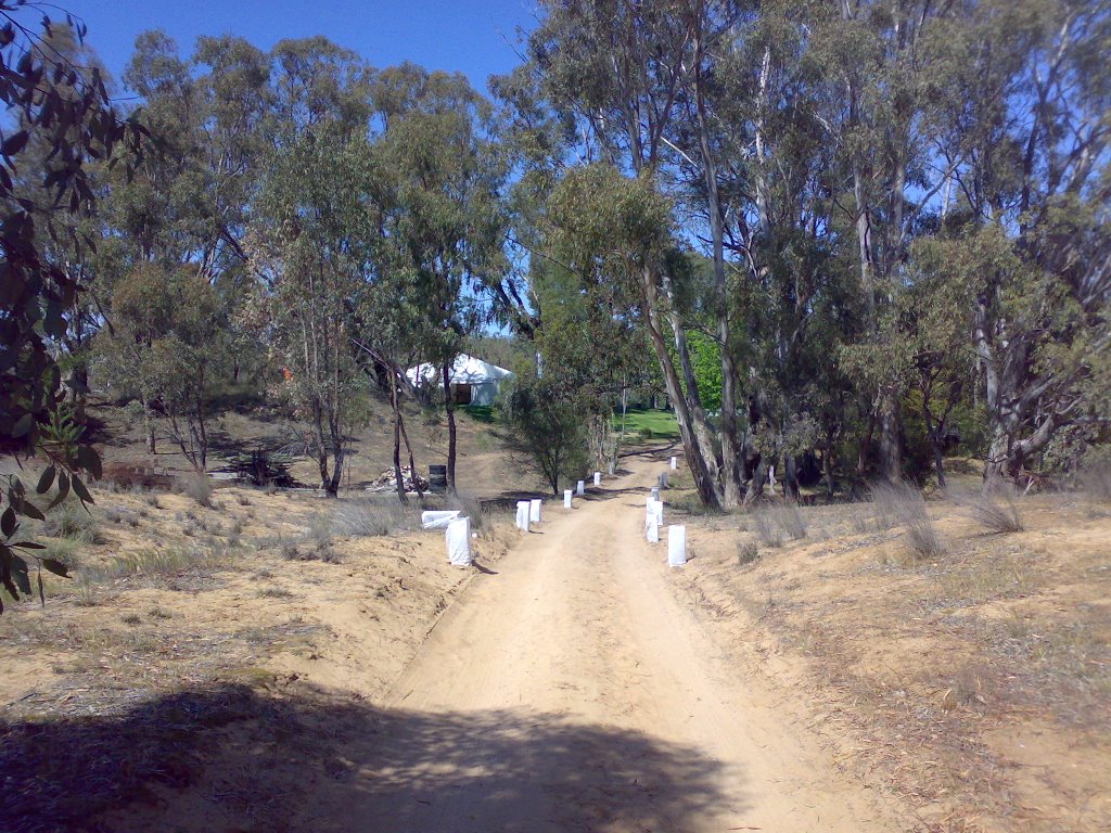
Photos of Blackwood Creek
Blackwood Creek Weather

Predicción: Clear sky
Temperatura: 13.7°
Humedad: 45%
Hora actual: 12:00 AM
Amanece: 08:48 PM
Anochece: 07:34 AM
Cobram East, Australia
Latitude: -35.9801 // Longitude: 145.745
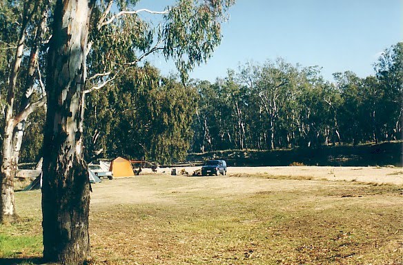
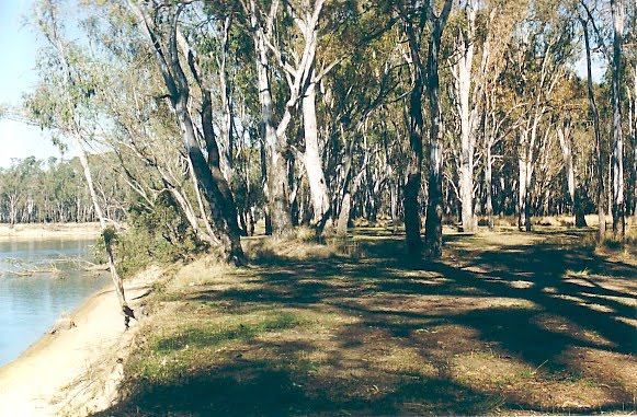
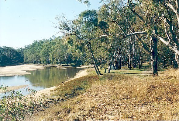
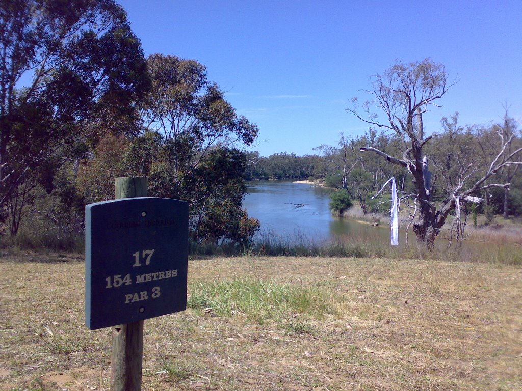
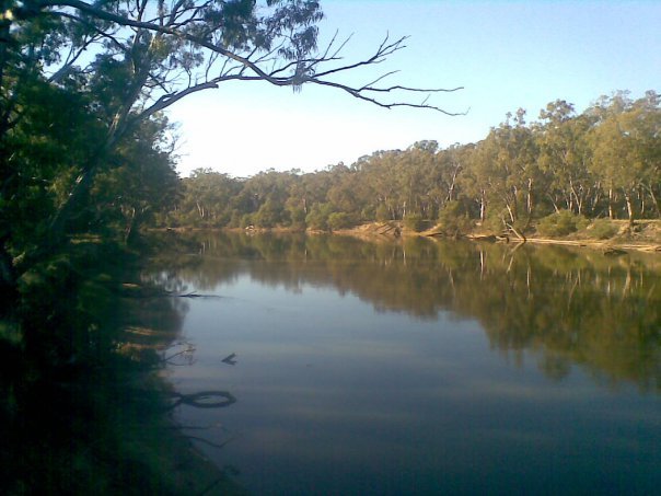
Photos of Cobram East
Cobram East Weather

Predicción: Clear sky
Temperatura: 17.8°
Humedad: 48%
Hora actual: 12:00 AM
Amanece: 08:45 PM
Anochece: 07:46 AM


