Distance between  Blackbutt and
  Guilderton
2,220.62 mi Straight Distance
2,582.53 mi Driving Distance
1 day 16 hours Estimated Driving Time
The straight distance between Blackbutt (Queensland) and Guilderton (Western Australia) is 2,220.62 mi, but the driving distance is 2,582.53 mi.
It takes to go from Blackbutt to Guilderton.
Driving directions from Blackbutt to Guilderton
Distance in kilometers
Straight distance: 3,572.98 km. Route distance: 4,155.29 km
Blackbutt, Australia
Latitude: -26.8856 // Longitude: 152.103
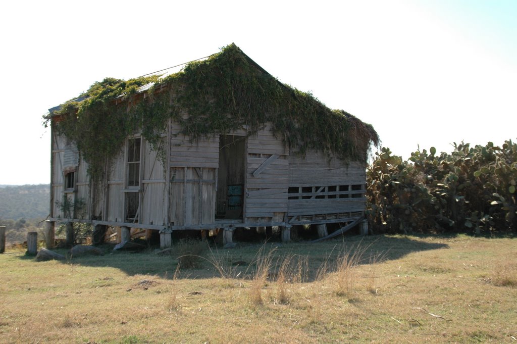
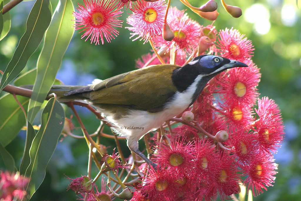
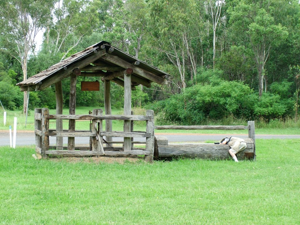
Photos of Blackbutt
Blackbutt Weather

Predicción: Clear sky
Temperatura: 23.8°
Humedad: 49%
Hora actual: 11:18 AM
Amanece: 06:10 AM
Anochece: 05:31 PM
Guilderton, Australia
Latitude: -31.3455 // Longitude: 115.501
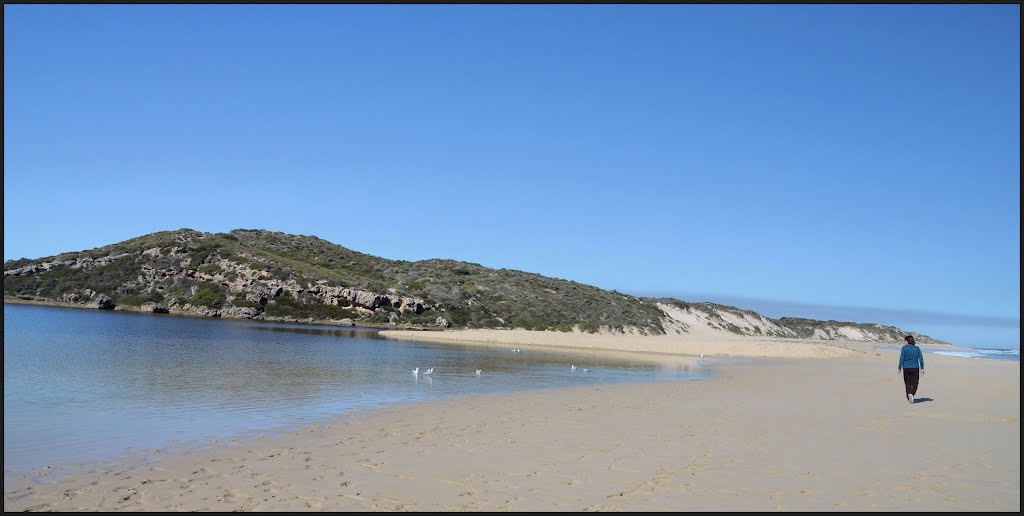
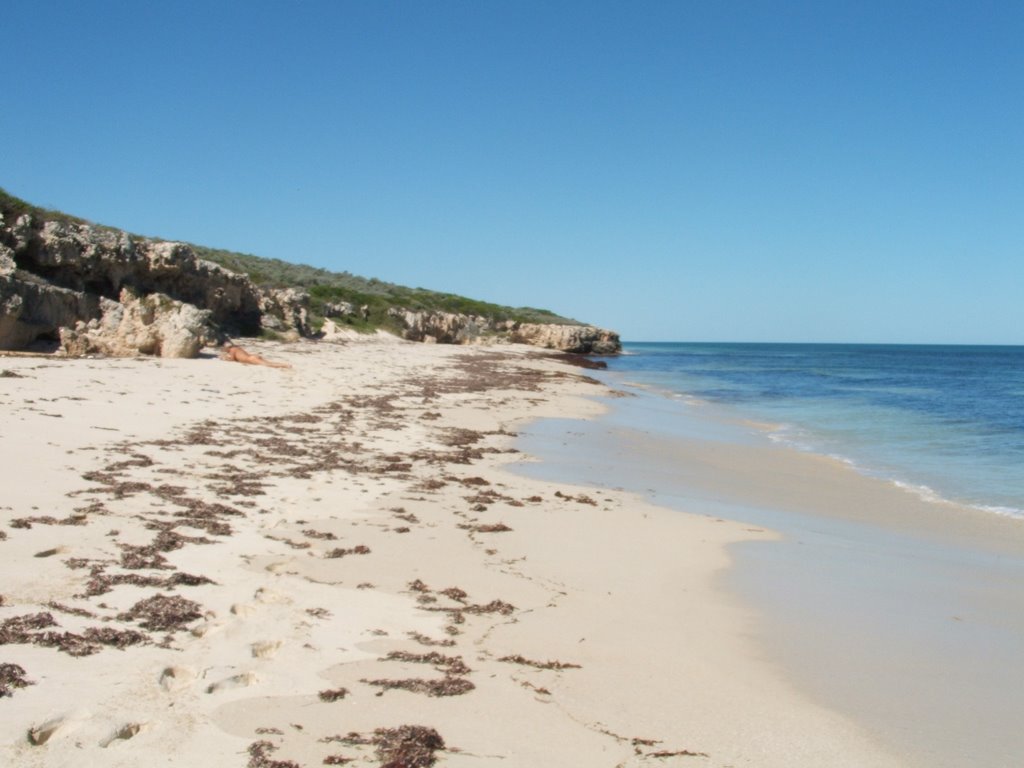
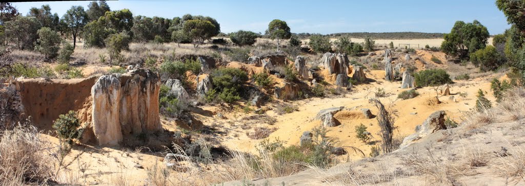
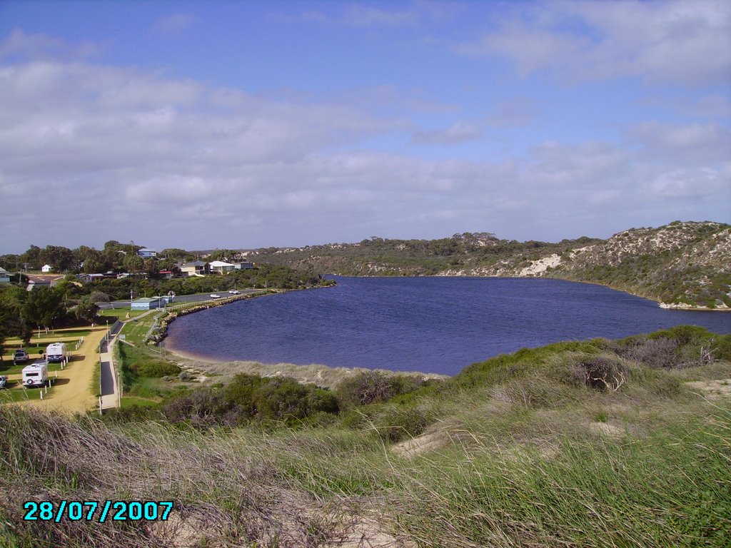
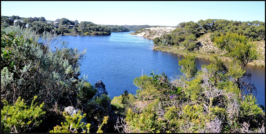
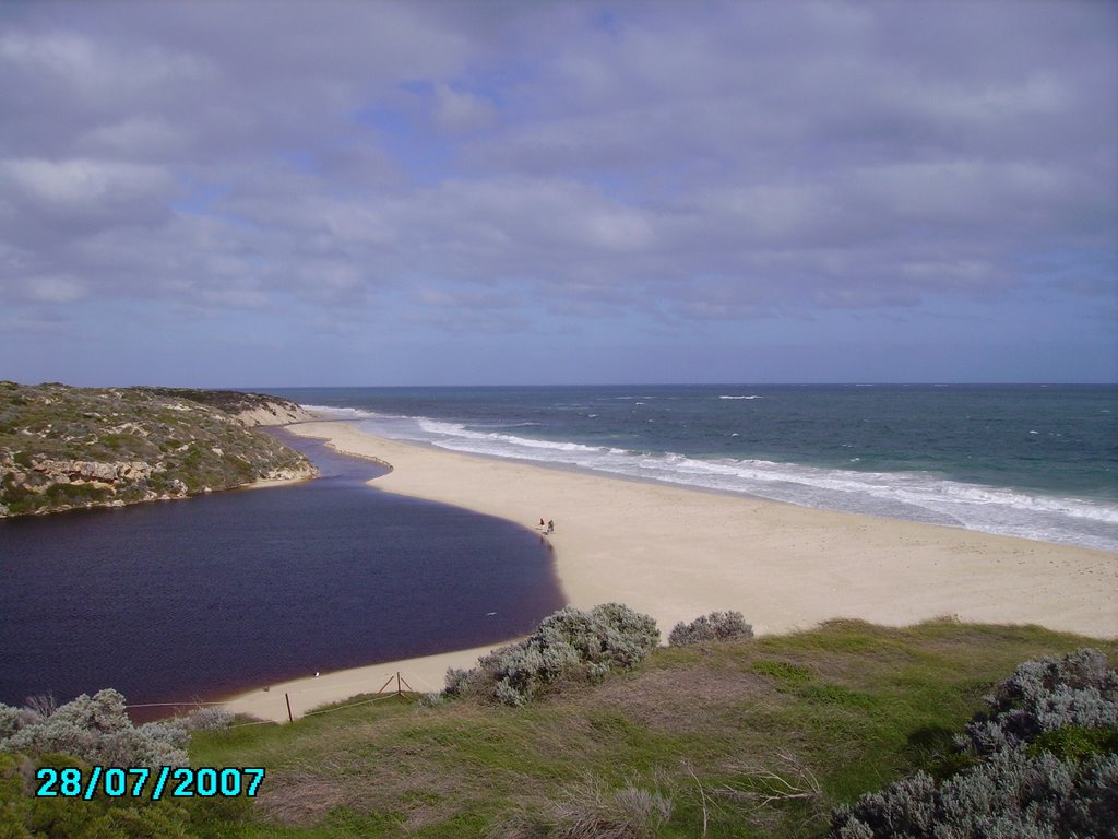
Photos of Guilderton
Guilderton Weather

Predicción: Clear sky
Temperatura: 23.1°
Humedad: 38%
Hora actual: 09:18 AM
Amanece: 06:41 AM
Anochece: 05:52 PM


