Distance between  Black Range and
  Gorae West
104.11 mi Straight Distance
141.69 mi Driving Distance
2 hours 47 mins Estimated Driving Time
The straight distance between Black Range (Victoria) and Gorae West (Victoria) is 104.11 mi, but the driving distance is 141.69 mi.
It takes to go from Black Range to Gorae West.
Driving directions from Black Range to Gorae West
Distance in kilometers
Straight distance: 167.51 km. Route distance: 227.98 km
Black Range, Australia
Latitude: -37.1326 // Longitude: 142.771
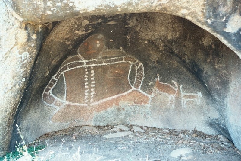
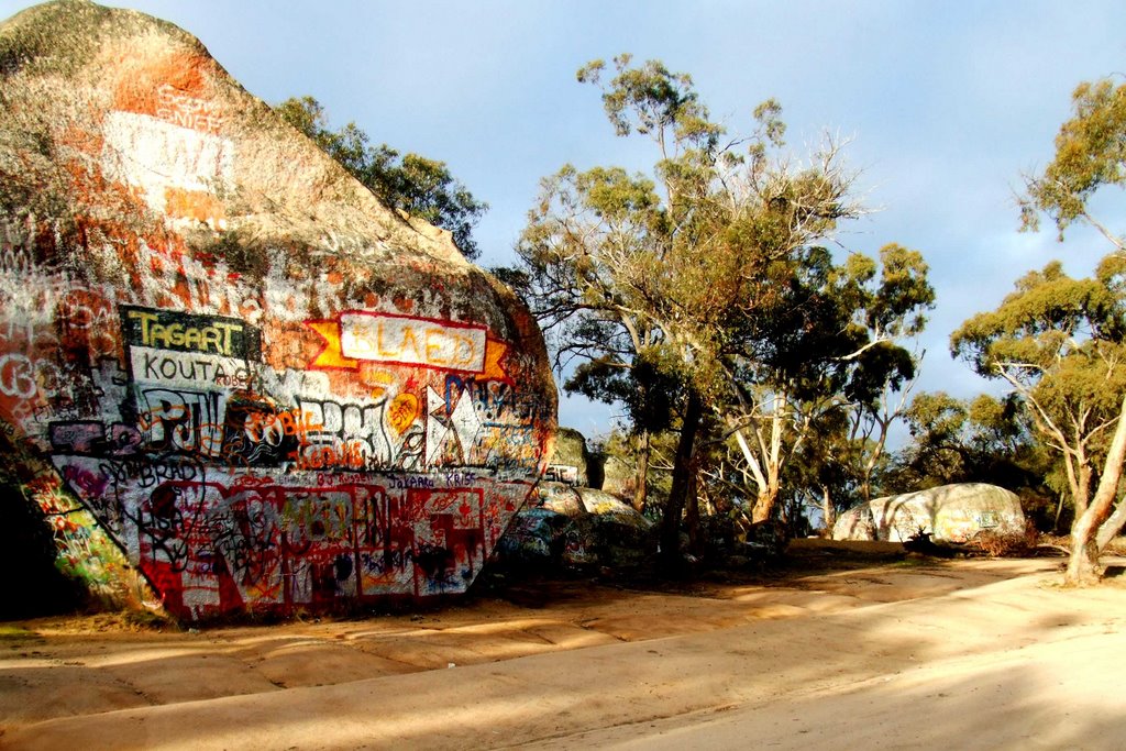
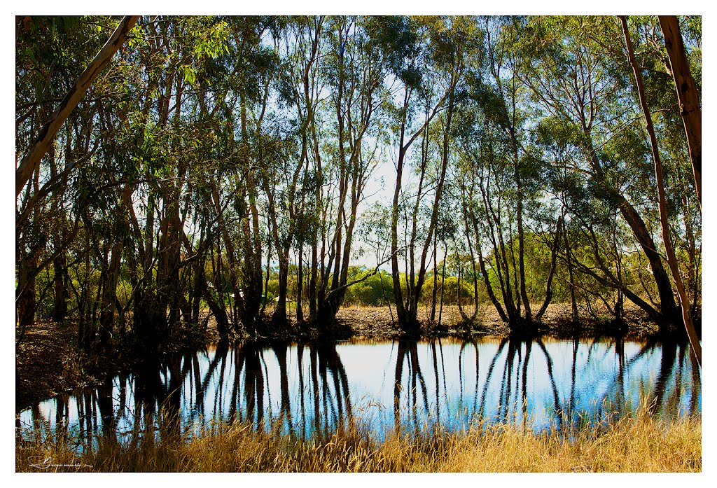
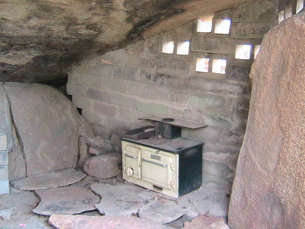
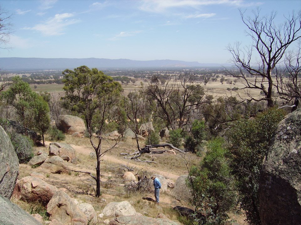
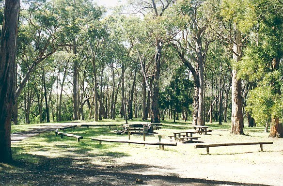
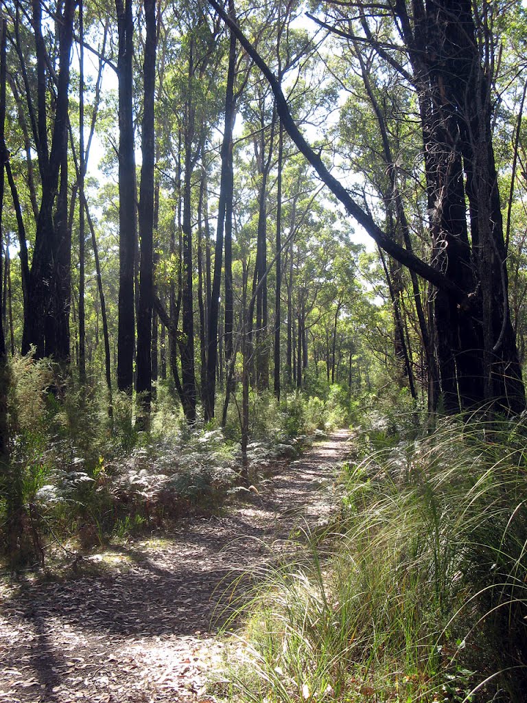
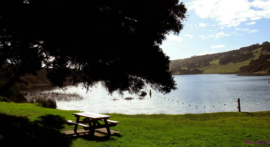
Photos of Black Range
Black Range Weather

Predicción: Overcast clouds
Temperatura: 11.6°
Humedad: 75%
Hora actual: 09:28 AM
Amanece: 06:58 AM
Anochece: 05:57 PM
Gorae West, Australia
Latitude: -38.2475 // Longitude: 141.49
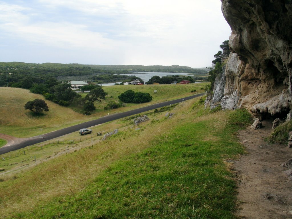
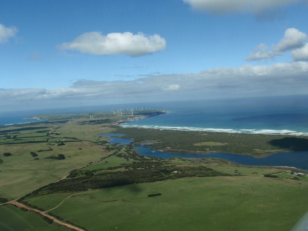
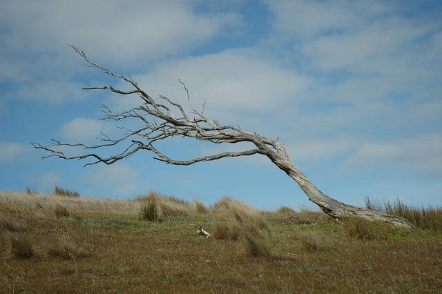
Photos of Gorae West
Gorae West Weather

Predicción: Broken clouds
Temperatura: 14.5°
Humedad: 60%
Hora actual: 09:28 AM
Amanece: 07:05 AM
Anochece: 06:01 PM


