Distance between  Birdsville and
  Wellstead
1,370.29 mi Straight Distance
1,927.05 mi Driving Distance
1 day 6 hours Estimated Driving Time
The straight distance between Birdsville (Queensland) and Wellstead (Western Australia) is 1,370.29 mi, but the driving distance is 1,927.05 mi.
It takes 1 day 14 hours to go from Birdsville to Wellstead.
Driving directions from Birdsville to Wellstead
Distance in kilometers
Straight distance: 2,204.80 km. Route distance: 3,100.62 km
Birdsville, Australia
Latitude: -25.8983 // Longitude: 139.354
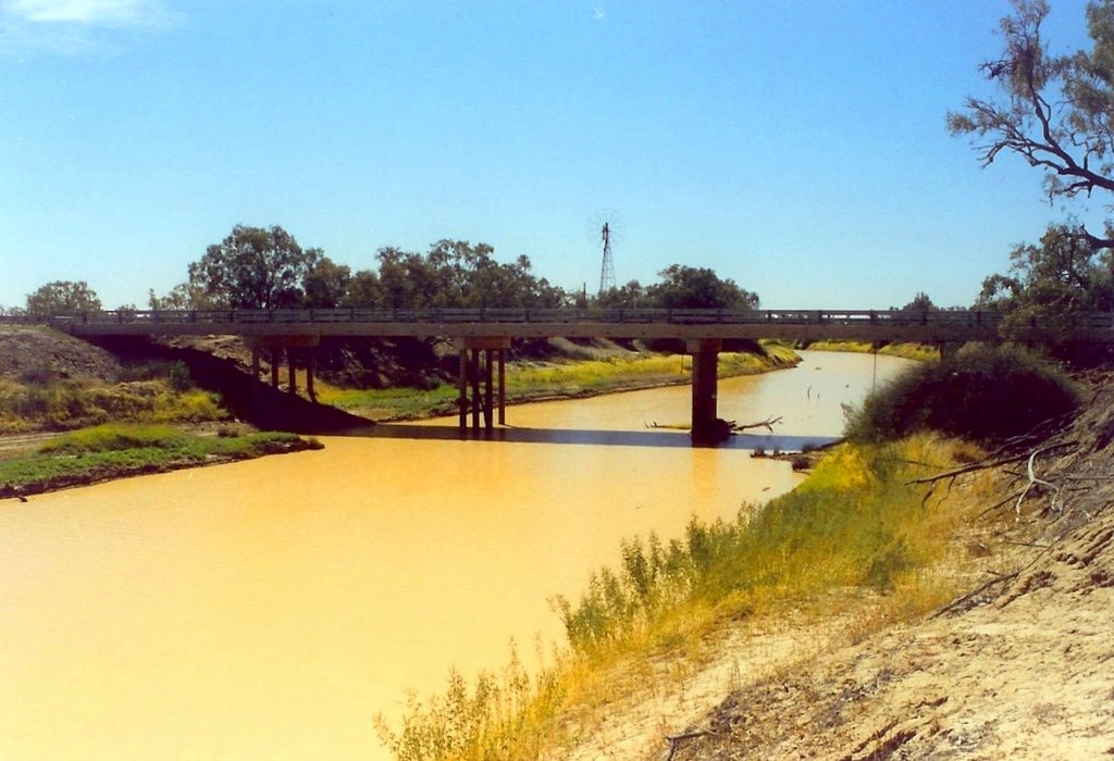
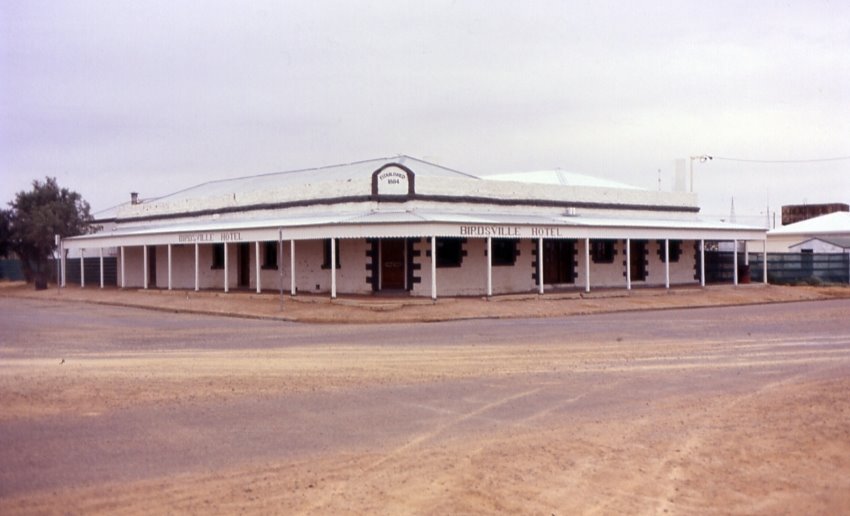
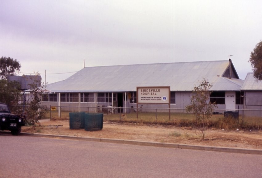
Photos of Birdsville
Birdsville Weather

Predicción: Clear sky
Temperatura: 27.9°
Humedad: 23%
Hora actual: 01:26 PM
Amanece: 06:59 AM
Anochece: 06:24 PM
Wellstead, Australia
Latitude: -34.4922 // Longitude: 118.606
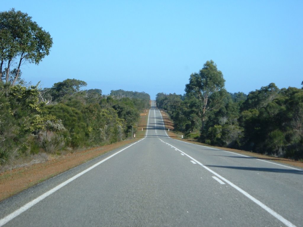
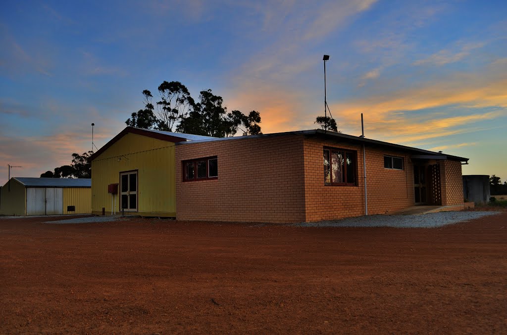
Photos of Wellstead
Wellstead Weather

Predicción: Overcast clouds
Temperatura: 22.6°
Humedad: 40%
Hora actual: 10:00 AM
Amanece: 08:31 AM
Anochece: 07:38 PM


