Distance between  Bindi and
  Trafalgar
118.16 mi Straight Distance
170.49 mi Driving Distance
3 hours 31 mins Estimated Driving Time
The straight distance between Bindi (Victoria) and Trafalgar (Victoria) is 118.16 mi, but the driving distance is 170.49 mi.
It takes to go from Bindi to Trafalgar.
Driving directions from Bindi to Trafalgar
Distance in kilometers
Straight distance: 190.12 km. Route distance: 274.32 km
Bindi, Australia
Latitude: -37.1119 // Longitude: 147.813
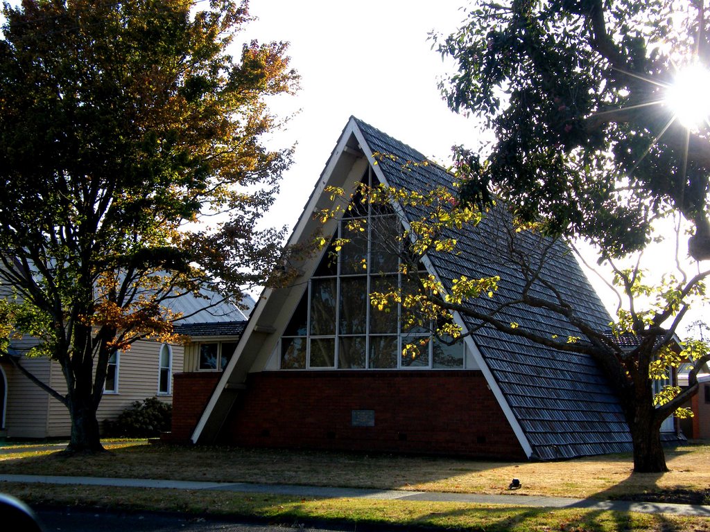
Photos of Bindi
Bindi Weather

Predicción: Scattered clouds
Temperatura: 15.5°
Humedad: 64%
Hora actual: 12:00 AM
Amanece: 08:38 PM
Anochece: 07:36 AM
Trafalgar, Australia
Latitude: -38.2082 // Longitude: 146.155
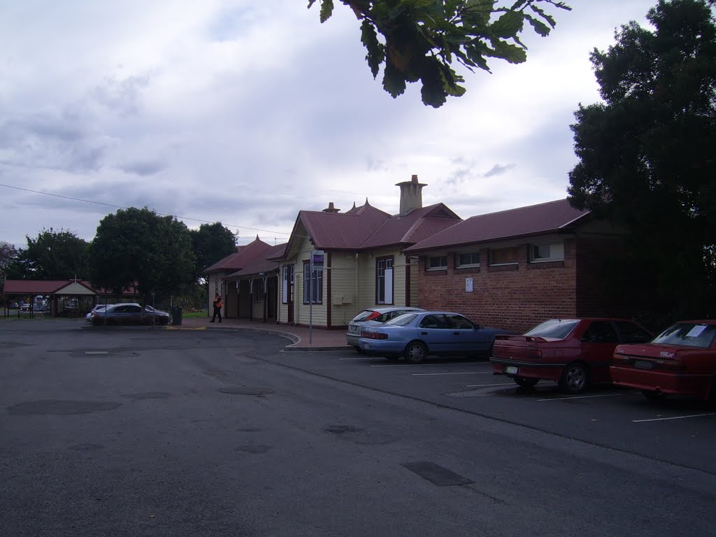
Photos of Trafalgar
Trafalgar Weather

Predicción: Broken clouds
Temperatura: 13.6°
Humedad: 78%
Hora actual: 11:25 AM
Amanece: 06:46 AM
Anochece: 05:42 PM


