Distance between  Benjaberring and
  Cowell
1,156.87 mi Straight Distance
1,369.17 mi Driving Distance
22 hours 2 mins Estimated Driving Time
The straight distance between Benjaberring (Western Australia) and Cowell (South Australia) is 1,156.87 mi, but the driving distance is 1,369.17 mi.
It takes to go from Benjaberring to Cowell.
Driving directions from Benjaberring to Cowell
Distance in kilometers
Straight distance: 1,861.41 km. Route distance: 2,203.00 km
Benjaberring, Australia
Latitude: -31.1416 // Longitude: 117.29
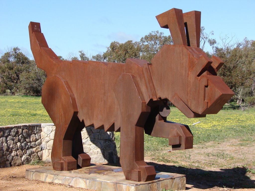
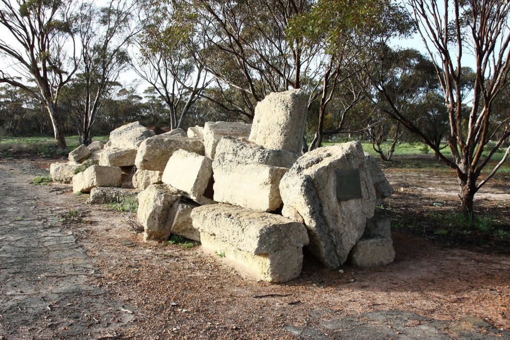
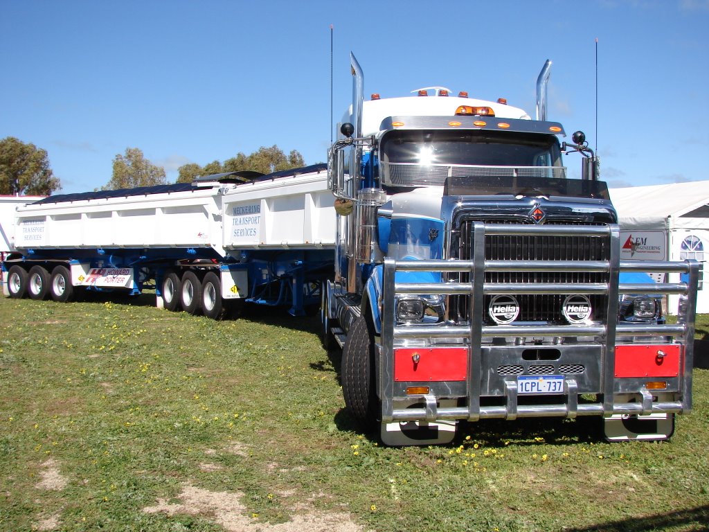
Photos of Benjaberring
Benjaberring Weather

Predicción: Clear sky
Temperatura: 26.4°
Humedad: 30%
Hora actual: 12:00 AM
Amanece: 10:32 PM
Anochece: 09:48 AM
Cowell, Australia
Latitude: -33.6836 // Longitude: 136.925
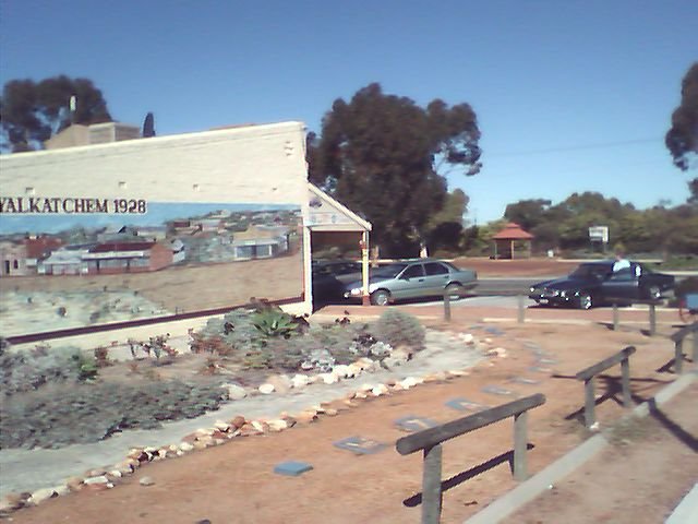
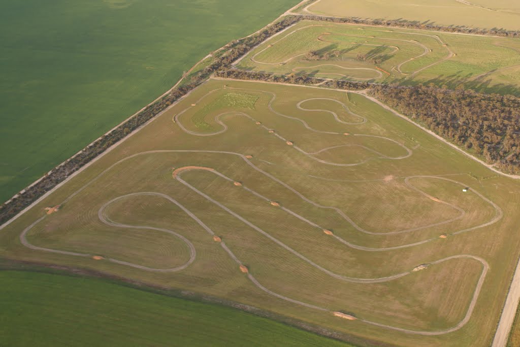
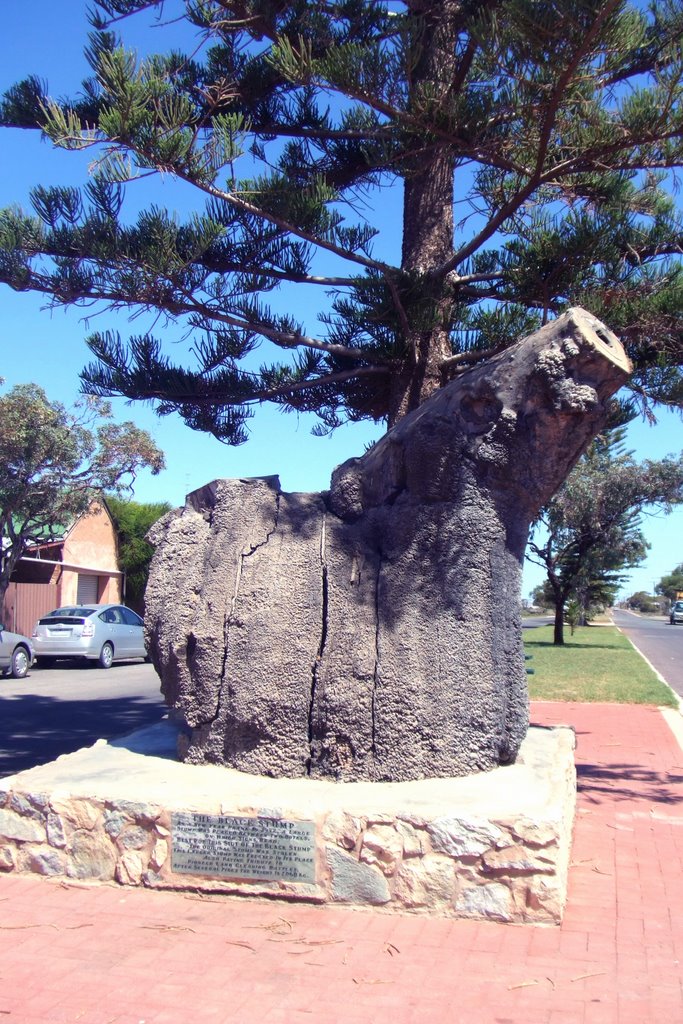
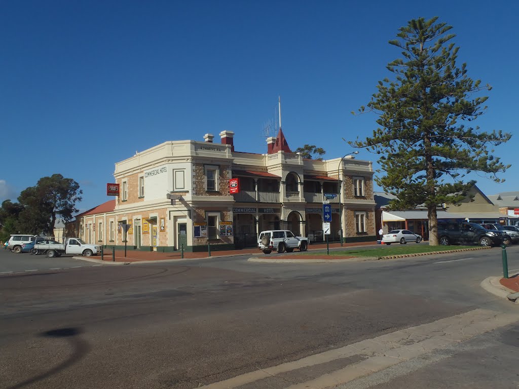
Photos of Cowell
Cowell Weather

Predicción: Clear sky
Temperatura: 18.5°
Humedad: 62%
Hora actual: 01:43 PM
Amanece: 06:45 AM
Anochece: 05:58 PM


