Distance between  Bellellen and
  Rosewood
873.93 mi Straight Distance
1,098.61 mi Driving Distance
18 hours 41 mins Estimated Driving Time
The straight distance between Bellellen (Victoria) and Rosewood (Queensland) is 873.93 mi, but the driving distance is 1,098.61 mi.
It takes to go from Bellellen to Rosewood.
Driving directions from Bellellen to Rosewood
Distance in kilometers
Straight distance: 1,406.15 km. Route distance: 1,767.66 km
Bellellen, Australia
Latitude: -37.1573 // Longitude: 142.699
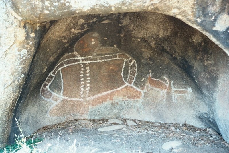
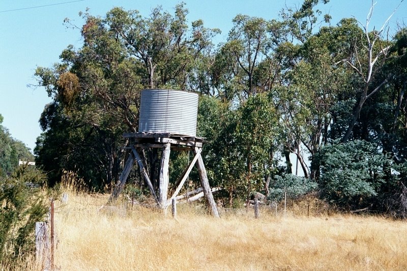
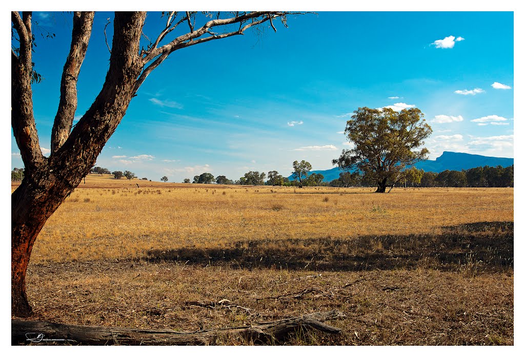
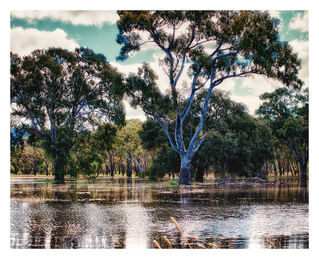
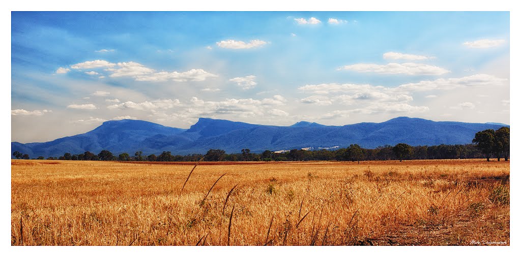
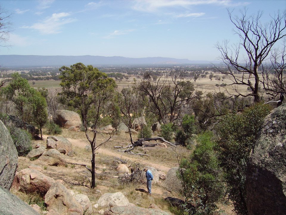
Photos of Bellellen
Bellellen Weather

Predicción: Overcast clouds
Temperatura: 15.9°
Humedad: 53%
Hora actual: 12:00 AM
Amanece: 08:58 PM
Anochece: 07:58 AM
Rosewood, Australia
Latitude: -27.6381 // Longitude: 152.592
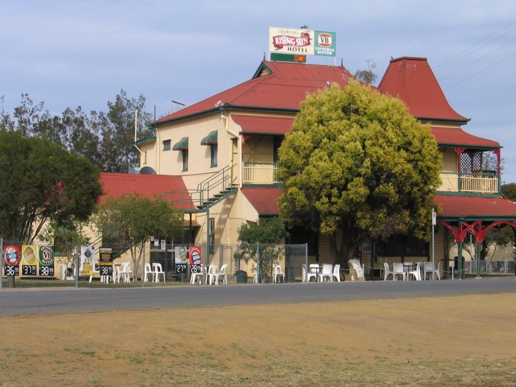
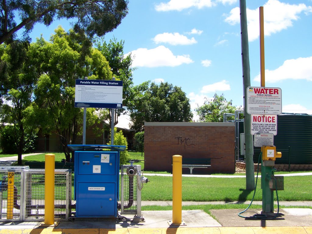
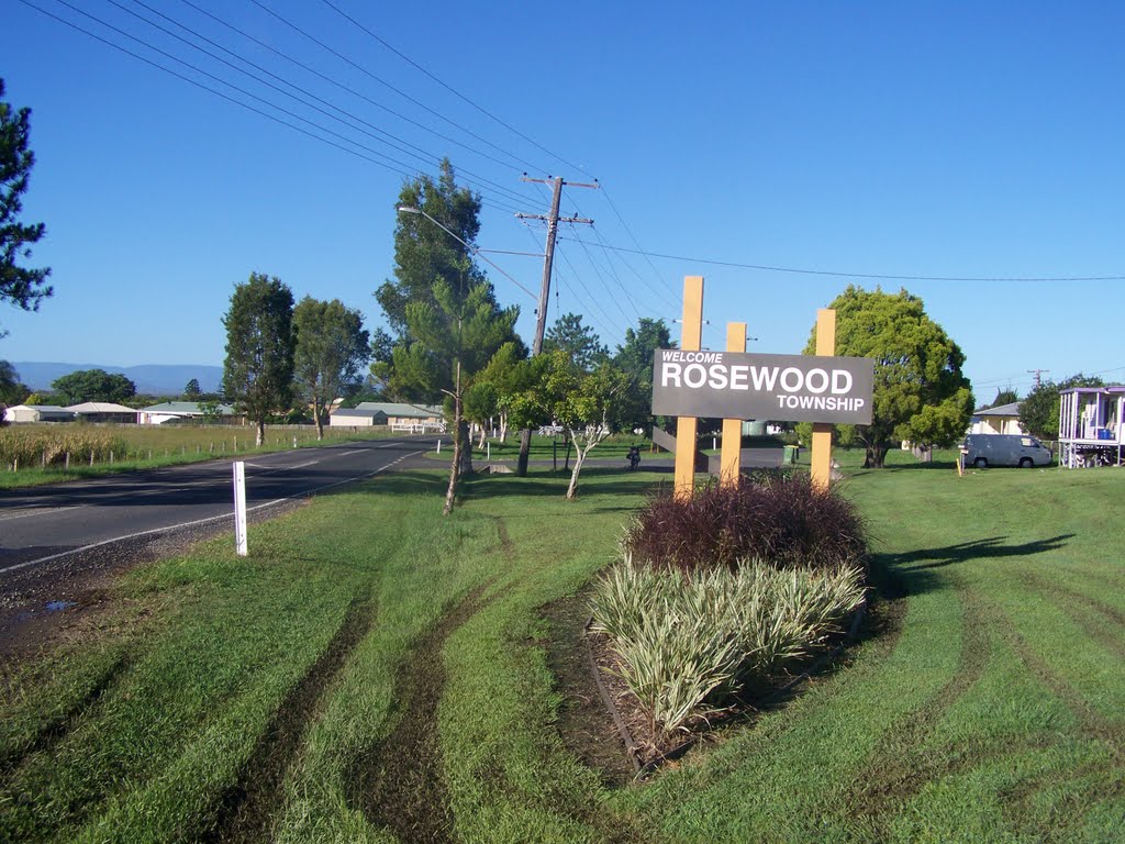
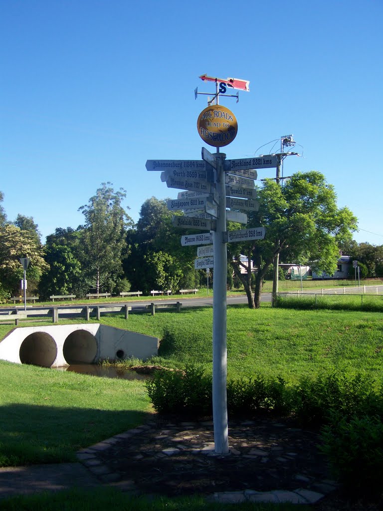
Photos of Rosewood
Rosewood Weather

Predicción: Broken clouds
Temperatura: 26.8°
Humedad: 58%
Hora actual: 02:49 PM
Amanece: 06:08 AM
Anochece: 05:29 PM


