Distance between  Beermullah and
  Peake
Peake
1,423.32 mi Straight Distance
1,761.56 mi Driving Distance
1 day 3 hours Estimated Driving Time
The straight distance between Beermullah (Western Australia) and Peake (South Australia) is 1,423.32 mi, but the driving distance is 1,761.56 mi.
It takes 1 day 6 hours to go from Beermullah to Peake.
Driving directions from Beermullah to Peake
Distance in kilometers
Straight distance: 2,290.13 km. Route distance: 2,834.35 km
Beermullah, Australia
Latitude: -31.2311 // Longitude: 115.737
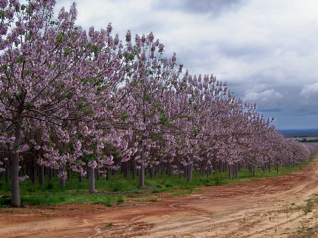
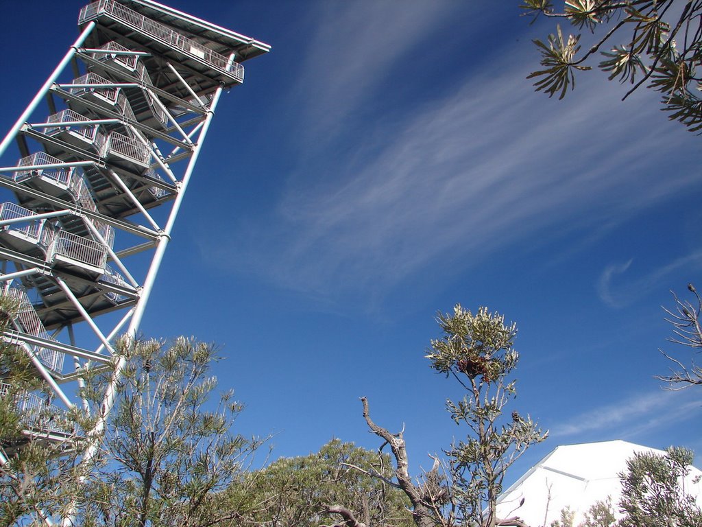
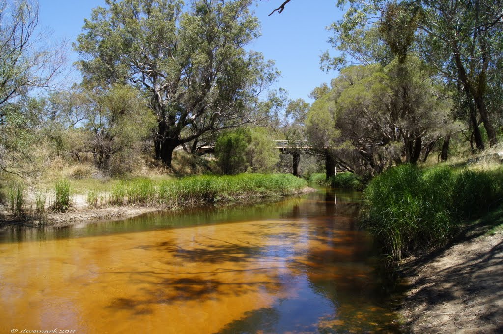
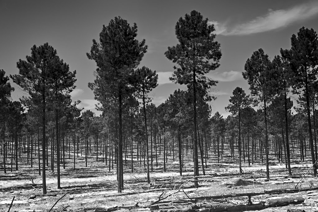
Photos of Beermullah
Beermullah Weather

Predicción: Clear sky
Temperatura: 27.0°
Humedad: 24%
Hora actual: 12:00 AM
Amanece: 10:39 PM
Anochece: 09:52 AM
Peake, Australia
Latitude: -35.3649 // Longitude: 139.949
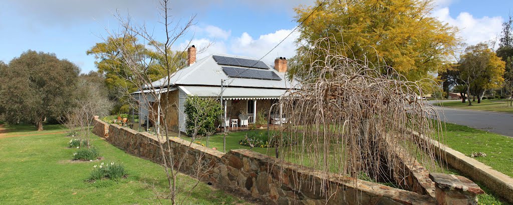
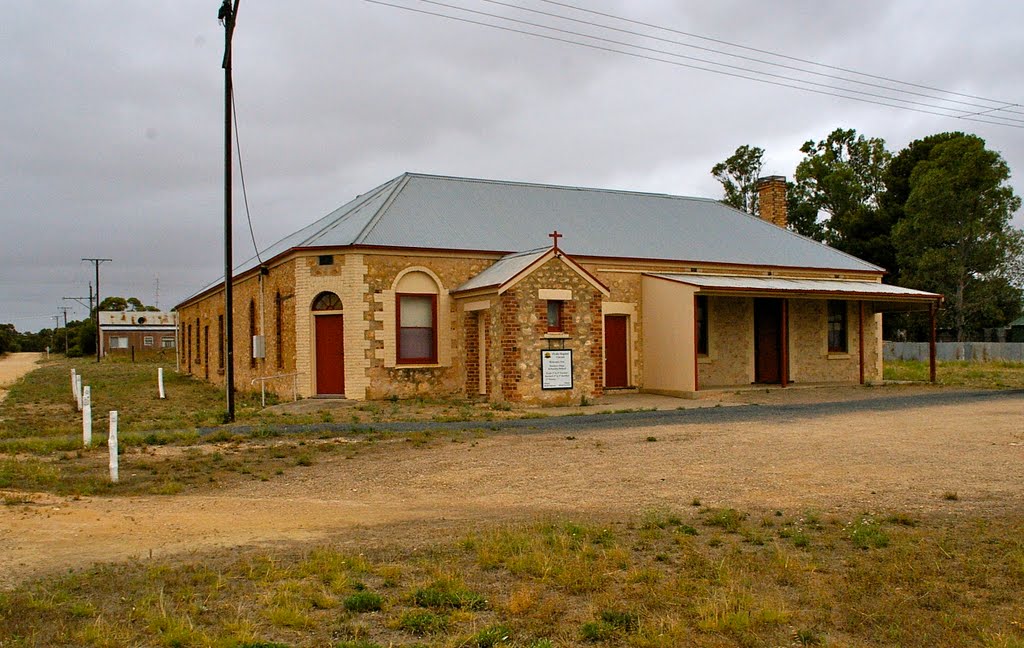
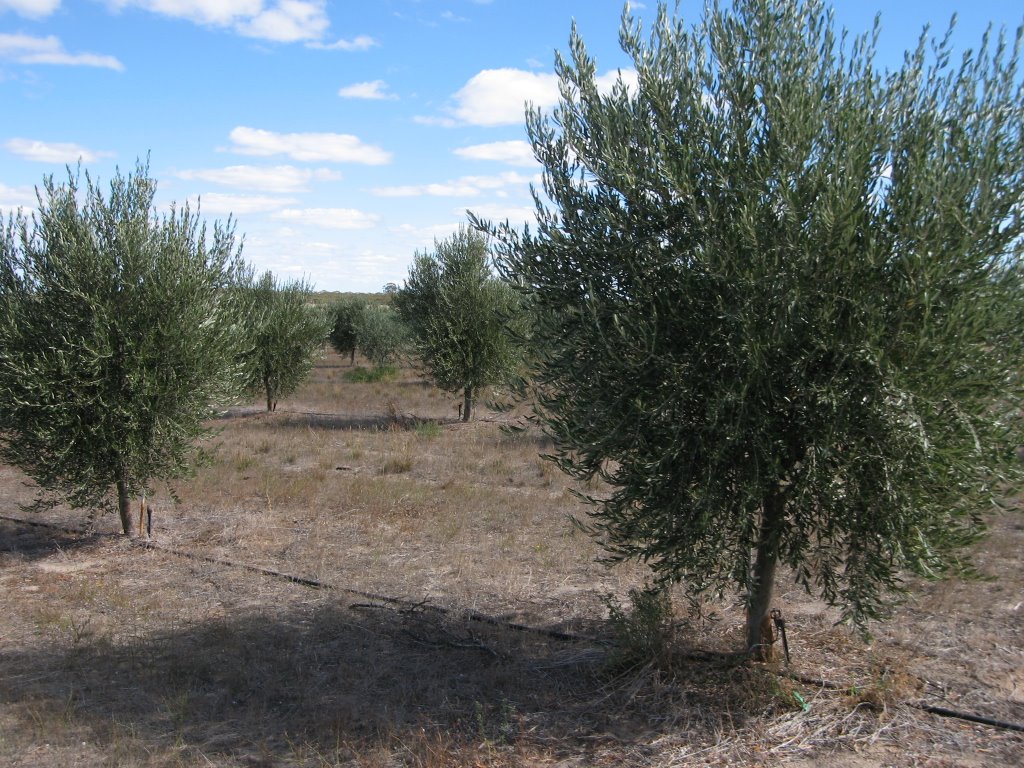
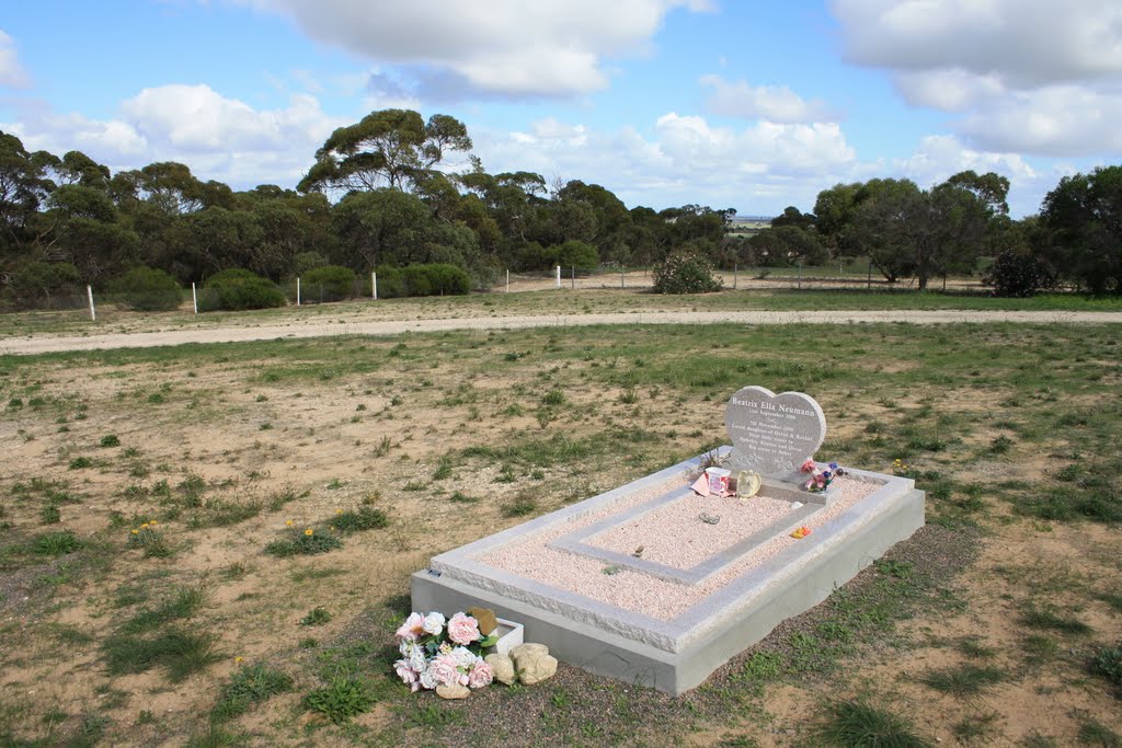
Photos of Peake
Peake Weather

Predicción: Overcast clouds
Temperatura: 14.5°
Humedad: 76%
Hora actual: 12:00 AM
Amanece: 09:07 PM
Anochece: 08:11 AM


