Distance between  Beacon and
  Paruna
1,360.14 mi Straight Distance
1,655.88 mi Driving Distance
1 day 2 hours Estimated Driving Time
The straight distance between Beacon (Western Australia) and Paruna (South Australia) is 1,360.14 mi, but the driving distance is 1,655.88 mi.
It takes 1 day 4 hours to go from Beacon to Paruna.
Driving directions from Beacon to Paruna
Distance in kilometers
Straight distance: 2,188.46 km. Route distance: 2,664.31 km
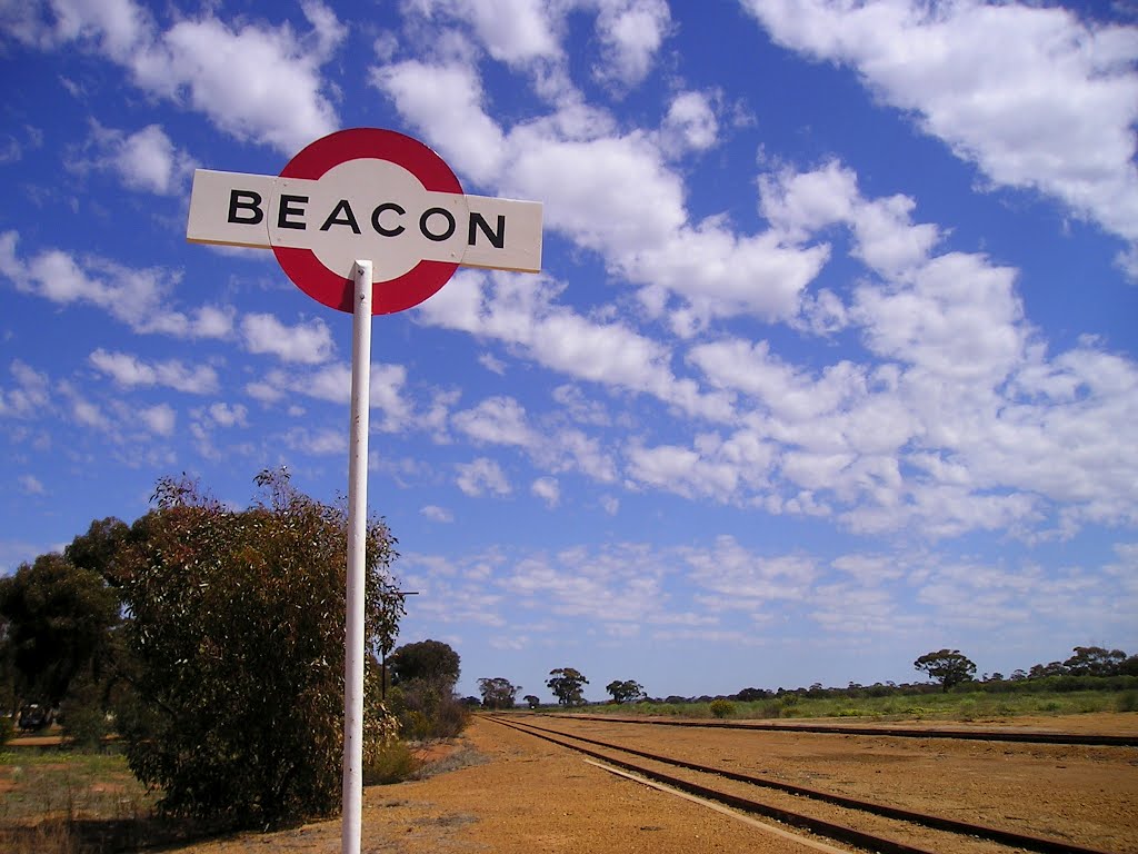
Beacon, Australia
Latitude: -30.452 // Longitude: 117.87
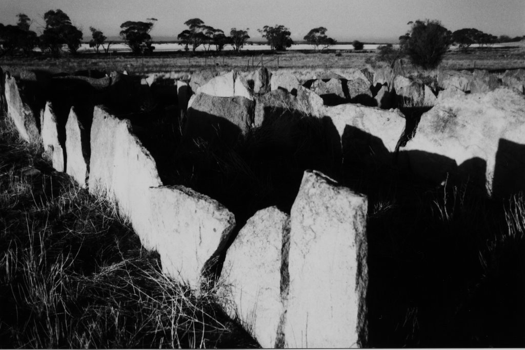
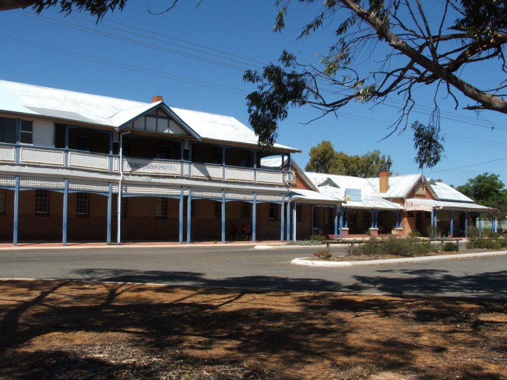
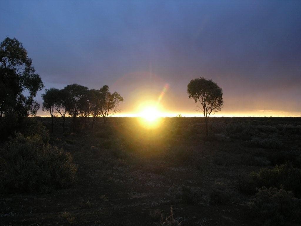
Photos of Beacon
Beacon Weather

Predicción: Clear sky
Temperatura: 19.3°
Humedad: 38%
Hora actual: 12:00 AM
Amanece: 10:30 PM
Anochece: 09:44 AM
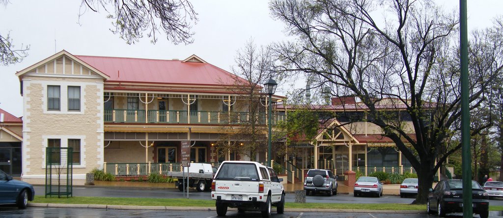
Paruna, Australia
Latitude: -34.7191 // Longitude: 140.734
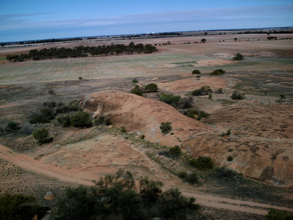
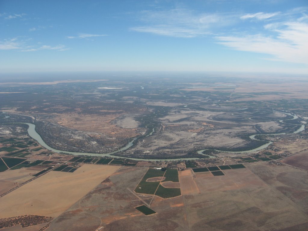
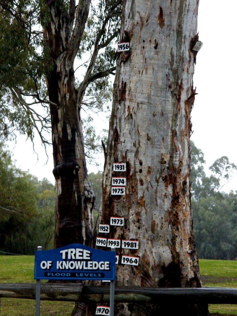
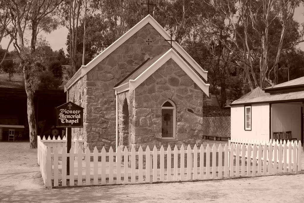
Photos of Paruna
Paruna Weather

Predicción: Overcast clouds
Temperatura: 15.4°
Humedad: 46%
Hora actual: 12:00 AM
Amanece: 09:04 PM
Anochece: 08:07 AM


