Distance between  Basalt and
  Caralulup
26.30 mi Straight Distance
42.28 mi Driving Distance
55 minutes Estimated Driving Time
The straight distance between Basalt (Victoria) and Caralulup (Victoria) is 26.30 mi, but the driving distance is 42.28 mi.
It takes to go from Basalt to Caralulup.
Driving directions from Basalt to Caralulup
Distance in kilometers
Straight distance: 42.31 km. Route distance: 68.03 km
Basalt, Australia
Latitude: -37.3105 // Longitude: 144.097
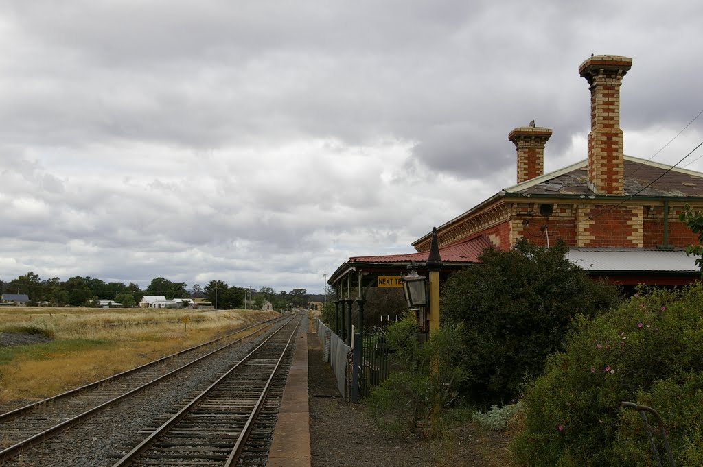
Photos of Basalt
Basalt Weather

Predicción: Scattered clouds
Temperatura: 17.6°
Humedad: 48%
Hora actual: 01:58 PM
Amanece: 06:50 AM
Anochece: 05:55 PM
Caralulup, Australia
Latitude: -37.2037 // Longitude: 143.638
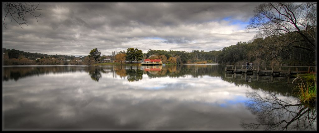
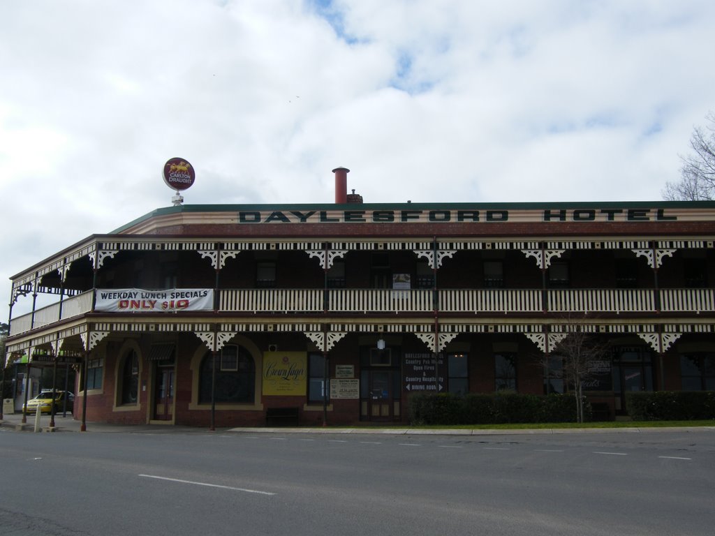
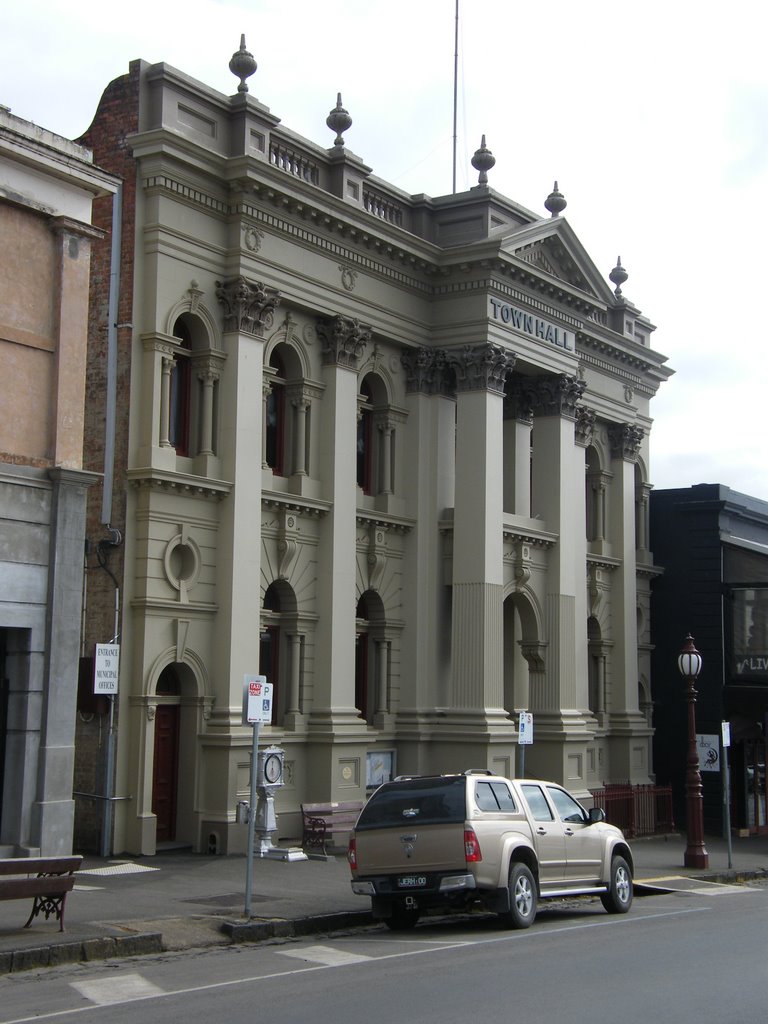
Photos of Caralulup
Caralulup Weather

Predicción: Scattered clouds
Temperatura: 19.7°
Humedad: 42%
Hora actual: 10:00 AM
Amanece: 06:52 AM
Anochece: 05:57 PM




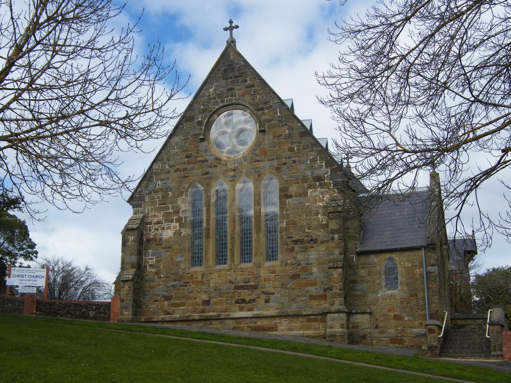
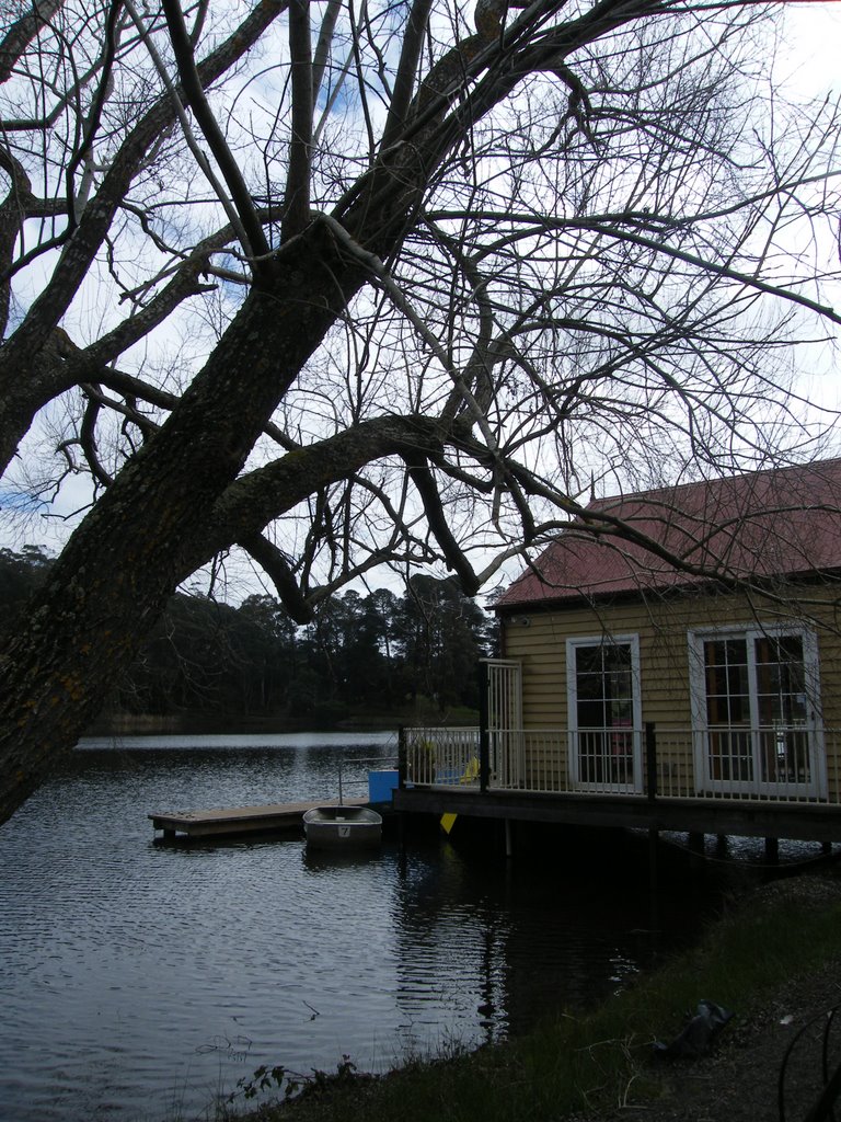
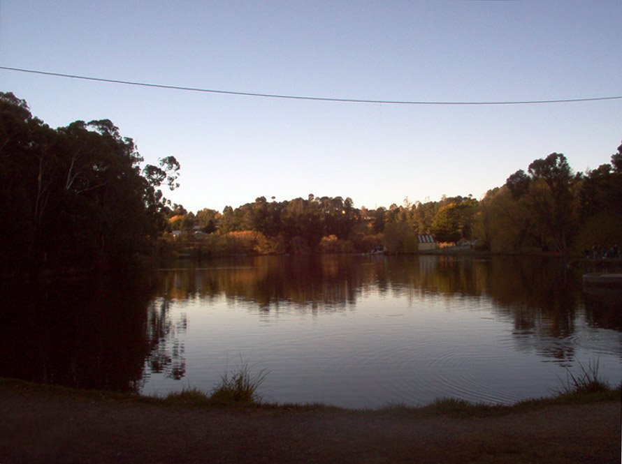
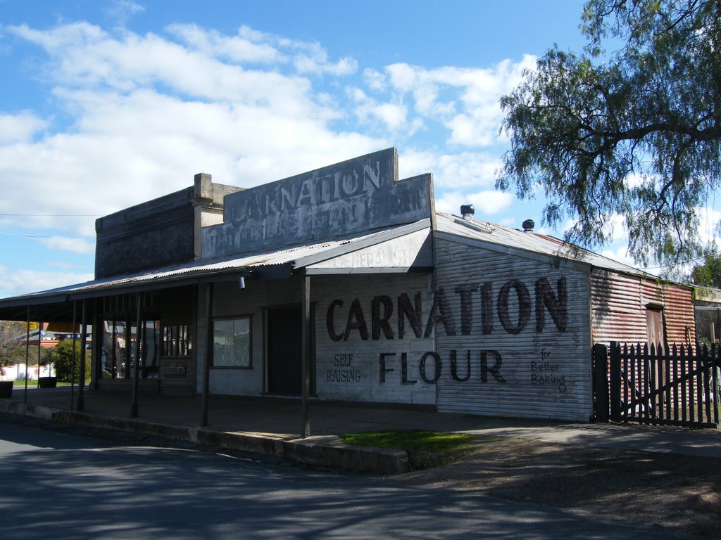

![Former Dunach State School [1874] (left) and former Amherst Hospital Isolation Unit [c.1909]. Both buildings were relocated here and opened as the Talbot Arts and Historical Museum in 1984 Former Dunach State School [1874] (left) and former Amherst Hospital Isolation Unit [c.1909]. Both buildings were relocated here and opened as the Talbot Arts and Historical Museum in 1984](/photos/44194349.jpg)
