Distance between  Barraba and
  Napranum
1,343.58 mi Straight Distance
1,708.90 mi Driving Distance
1 day 10 hours Estimated Driving Time
The straight distance between Barraba (New South Wales) and Napranum (Queensland) is 1,343.58 mi, but the driving distance is 1,708.90 mi.
It takes to go from Barraba to Napranum.
Driving directions from Barraba to Napranum
Distance in kilometers
Straight distance: 2,161.83 km. Route distance: 2,749.62 km
Barraba, Australia
Latitude: -30.3786 // Longitude: 150.611
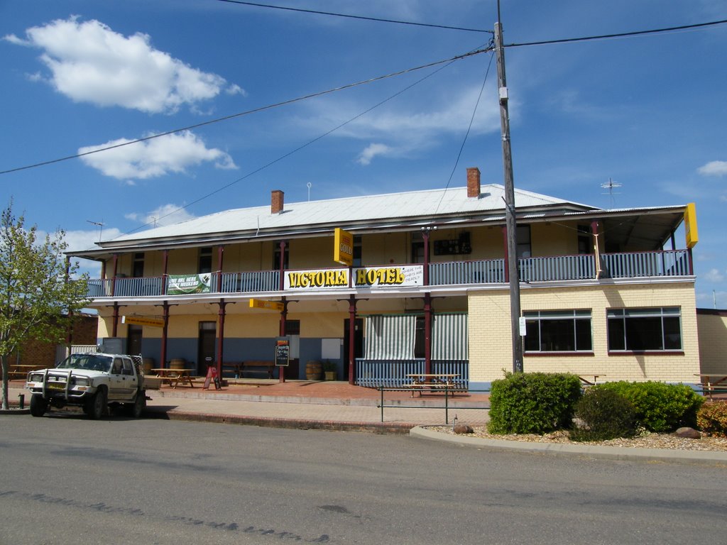
Photos of Barraba
Barraba Weather

Predicción: Broken clouds
Temperatura: 16.1°
Humedad: 78%
Hora actual: 07:10 AM
Amanece: 06:18 AM
Anochece: 05:35 PM
Napranum, Australia
Latitude: -12.6838 // Longitude: 141.889
Photos of Napranum
Napranum Weather

Predicción: Overcast clouds
Temperatura: 26.9°
Humedad: 79%
Hora actual: 07:10 AM
Amanece: 06:38 AM
Anochece: 06:25 PM


