Distance between  Barnes Bay and
  Murchison
463.39 mi Straight Distance
576.47 mi Driving Distance
14 hours 52 mins Estimated Driving Time
The straight distance between Barnes Bay (Tasmania) and Murchison (Victoria) is 463.39 mi, but the driving distance is 576.47 mi.
It takes to go from Barnes Bay to Murchison.
Driving directions from Barnes Bay to Murchison
Distance in kilometers
Straight distance: 745.59 km. Route distance: 927.54 km
Barnes Bay, Australia
Latitude: -43.1213 // Longitude: 147.362
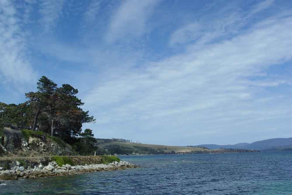
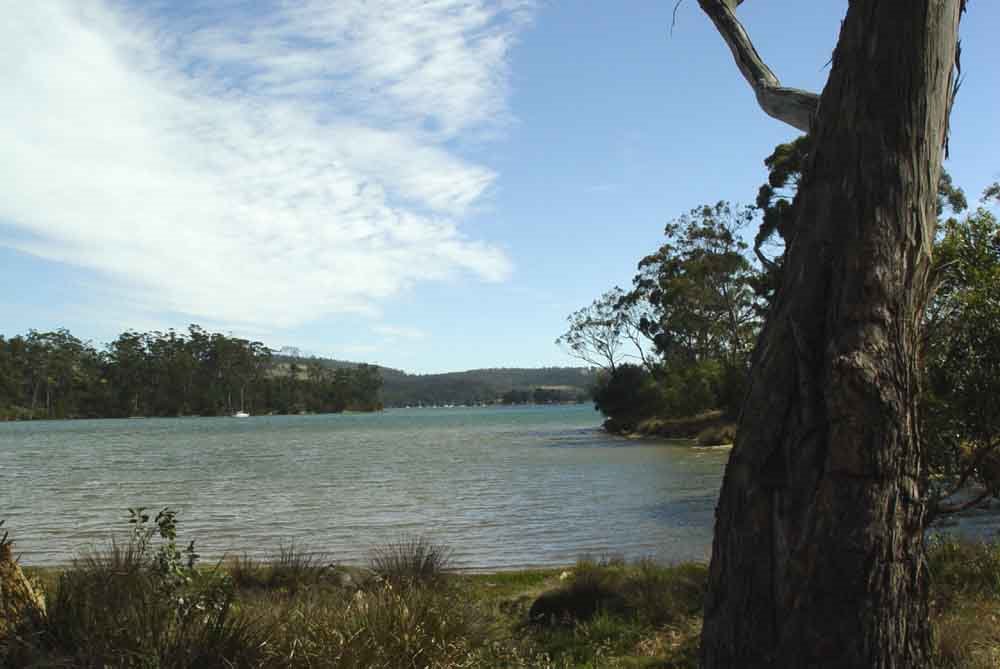
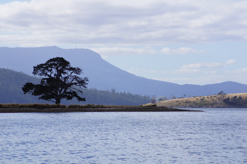
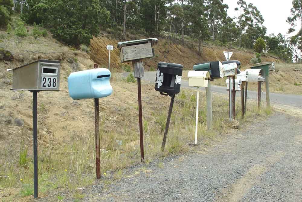
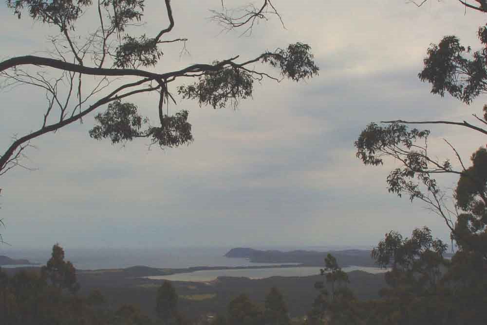
Photos of Barnes Bay
Barnes Bay Weather

Predicción: Broken clouds
Temperatura: 15.6°
Humedad: 63%
Hora actual: 12:00 AM
Amanece: 08:48 PM
Anochece: 07:30 AM
Murchison, Australia
Latitude: -36.6189 // Longitude: 145.218
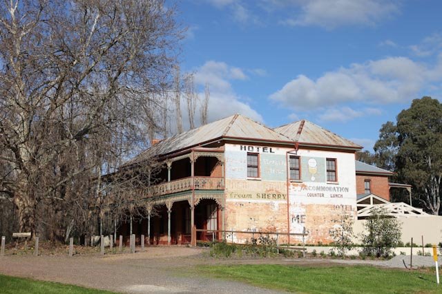
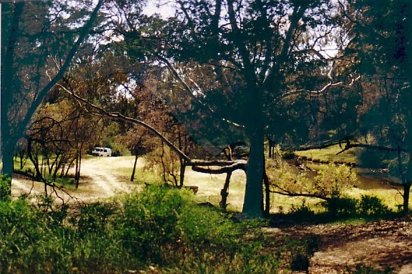
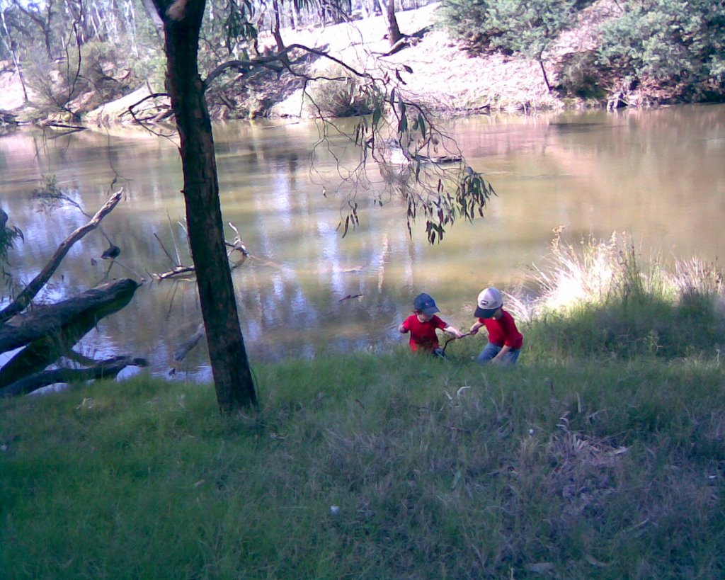
Photos of Murchison
Murchison Weather

Predicción: Clear sky
Temperatura: 18.9°
Humedad: 43%
Hora actual: 12:02 PM
Amanece: 06:48 AM
Anochece: 05:48 PM


