Distance between  Barmah and
  Gowangardie
52.52 mi Straight Distance
63.62 mi Driving Distance
1 hour 38 mins Estimated Driving Time
The straight distance between Barmah (Victoria) and Gowangardie (Victoria) is 52.52 mi, but the driving distance is 63.62 mi.
It takes to go from Barmah to Gowangardie.
Driving directions from Barmah to Gowangardie
Distance in kilometers
Straight distance: 84.51 km. Route distance: 102.37 km
Barmah, Australia
Latitude: -36.0174 // Longitude: 144.961
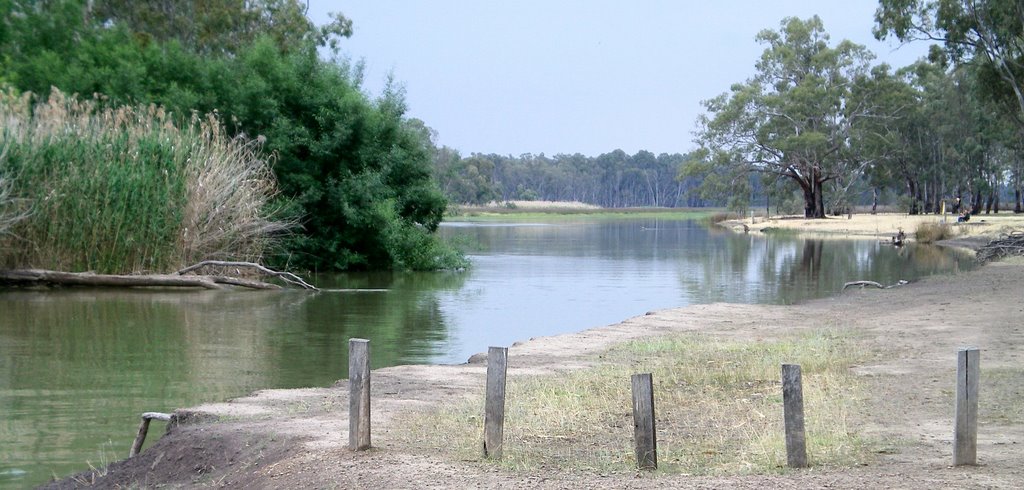
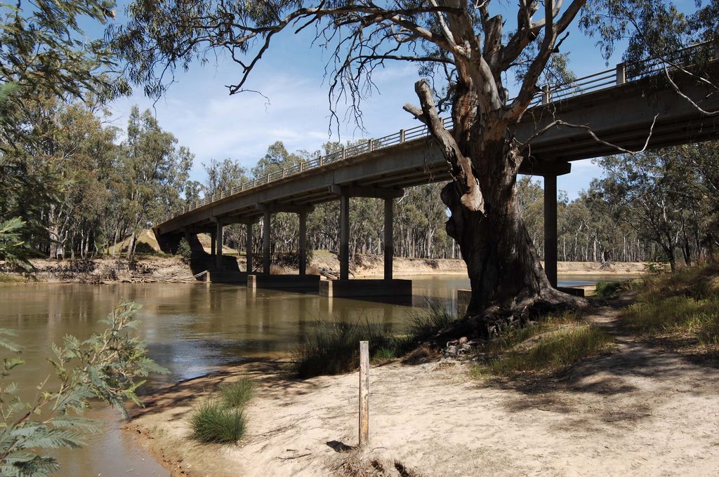
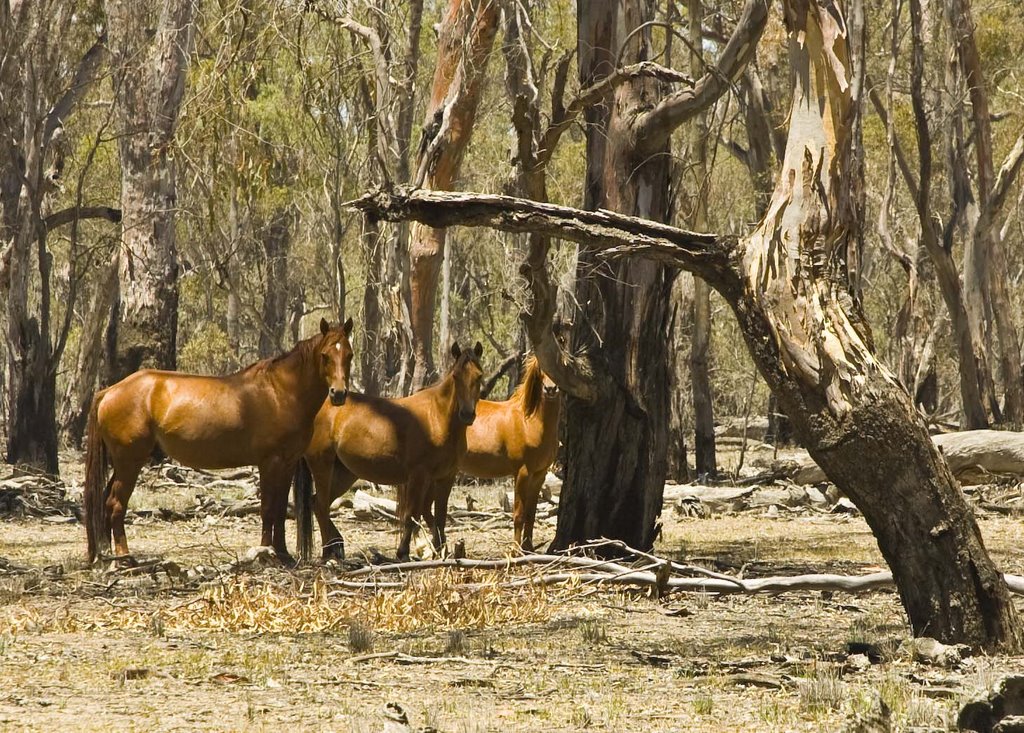
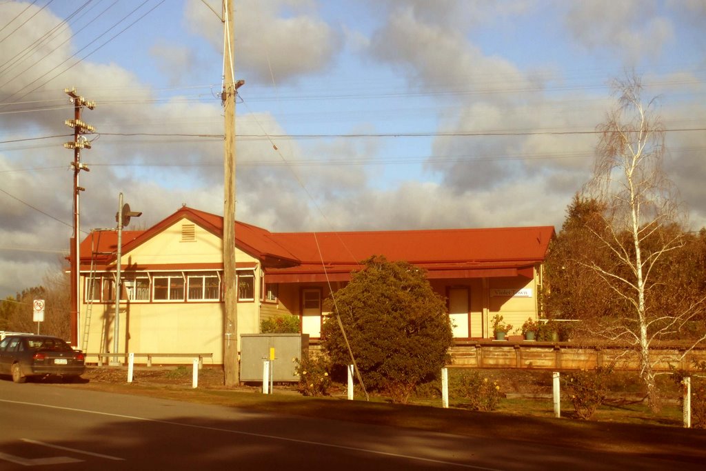
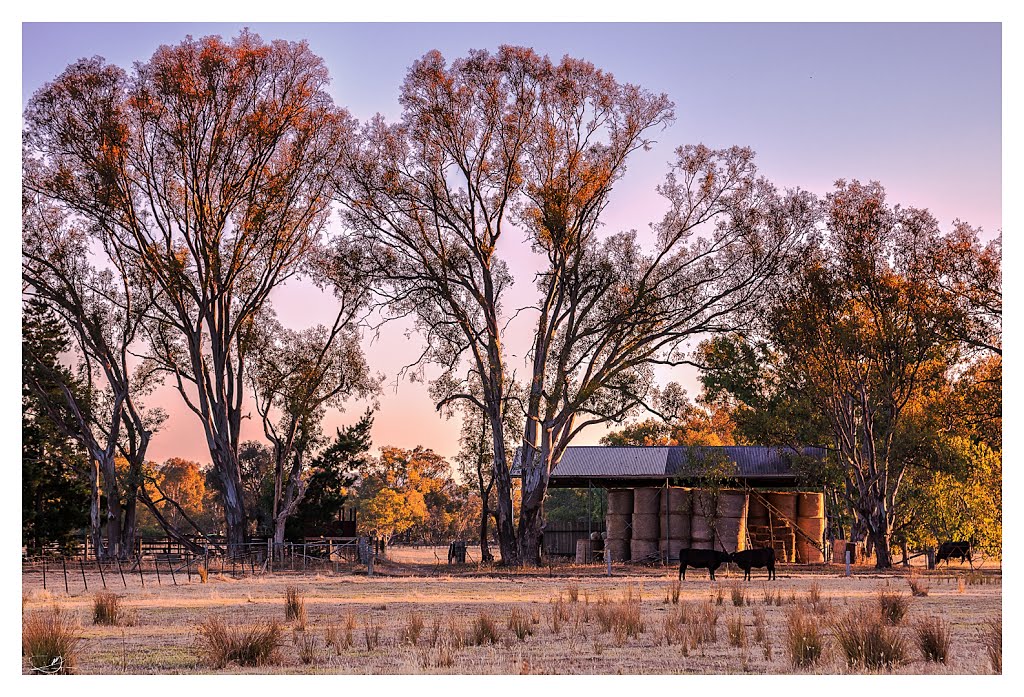
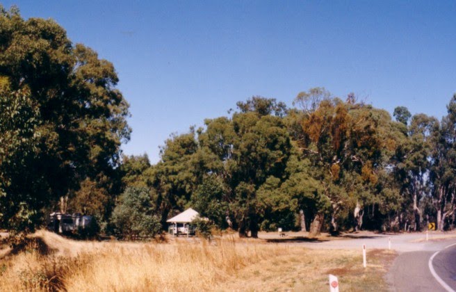
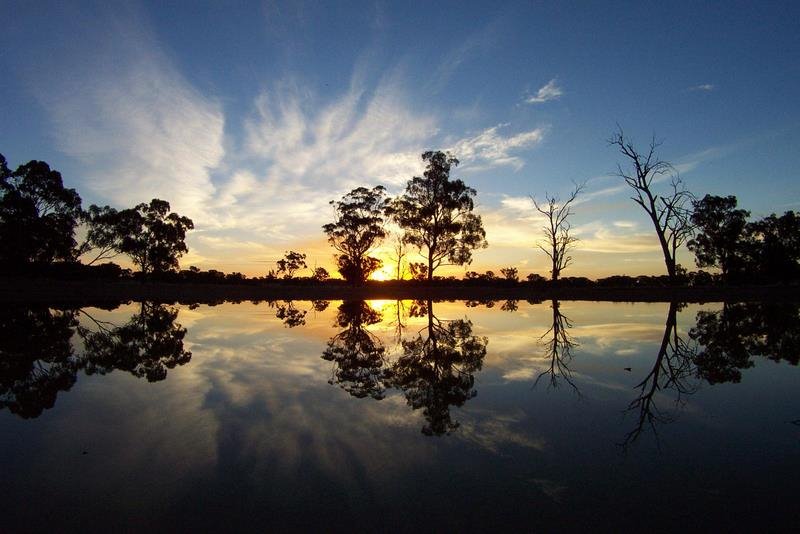
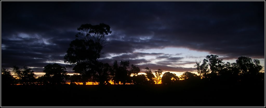
Photos of Barmah
Barmah Weather

Predicción: Overcast clouds
Temperatura: 10.5°
Humedad: 84%
Hora actual: 12:00 AM
Amanece: 08:46 PM
Anochece: 07:53 AM
Gowangardie, Australia
Latitude: -36.4757 // Longitude: 145.713
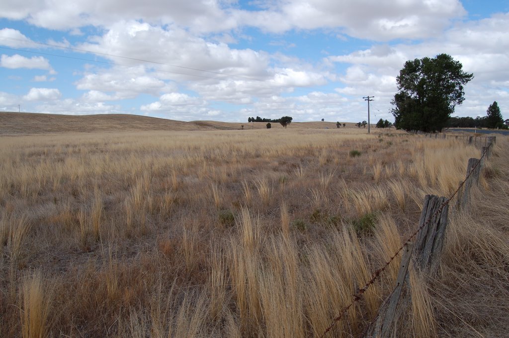
Photos of Gowangardie
Gowangardie Weather

Predicción: Overcast clouds
Temperatura: 10.3°
Humedad: 84%
Hora actual: 12:00 AM
Amanece: 08:43 PM
Anochece: 07:49 AM


