Distance between  Barellan and
  Baradine
272.37 mi Straight Distance
348.53 mi Driving Distance
5 hours 47 mins Estimated Driving Time
The straight distance between Barellan (New South Wales) and Baradine (New South Wales) is 272.37 mi, but the driving distance is 348.53 mi.
It takes to go from Barellan to Baradine.
Driving directions from Barellan to Baradine
Distance in kilometers
Straight distance: 438.24 km. Route distance: 560.79 km
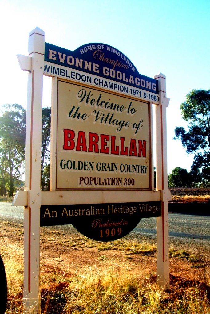
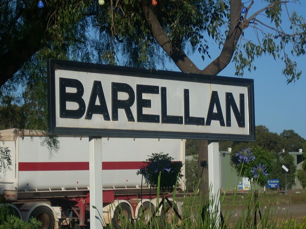
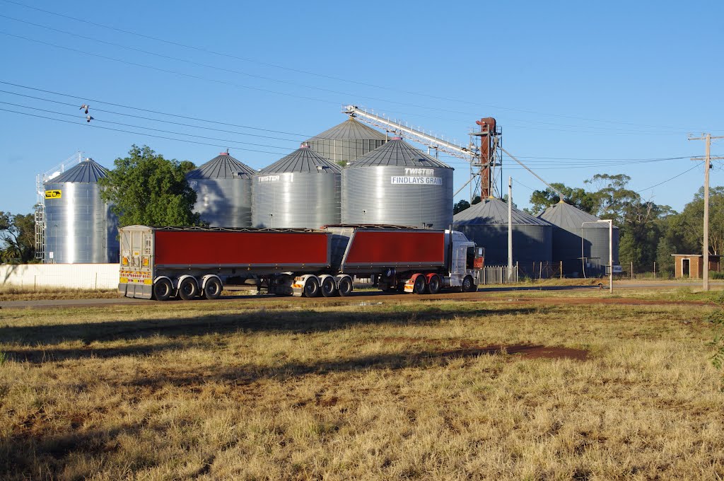
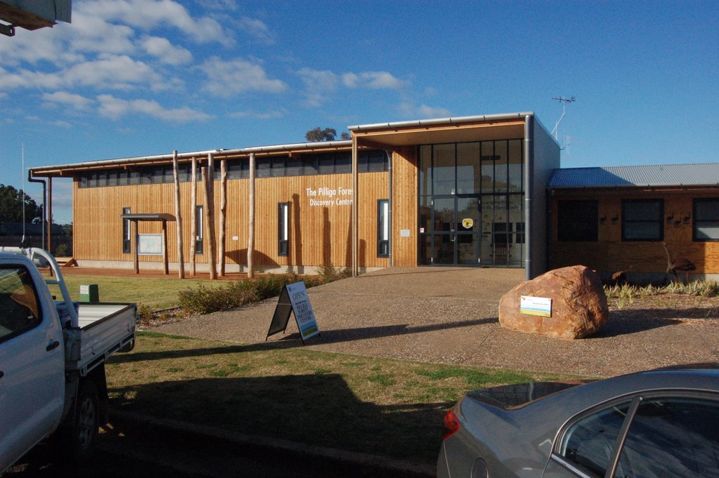
Barellan, Australia
Latitude: -34.2848 // Longitude: 146.572
Photos of Barellan
Barellan Weather

Predicción: Clear sky
Temperatura: 14.9°
Humedad: 55%
Hora actual: 02:23 AM
Amanece: 06:38 AM
Anochece: 05:48 PM
Baradine, Australia
Latitude: -30.9492 // Longitude: 149.067
Photos of Baradine
Baradine Weather

Predicción: Clear sky
Temperatura: 17.1°
Humedad: 46%
Hora actual: 02:23 AM
Amanece: 06:25 AM
Anochece: 05:41 PM


