Distance between  Baranduda and
  Cobains
131.55 mi Straight Distance
194.38 mi Driving Distance
3 hours 21 mins Estimated Driving Time
The straight distance between Baranduda (Victoria) and Cobains (Victoria) is 131.55 mi, but the driving distance is 194.38 mi.
It takes to go from Baranduda to Cobains.
Driving directions from Baranduda to Cobains
Distance in kilometers
Straight distance: 211.67 km. Route distance: 312.75 km
Baranduda, Australia
Latitude: -36.1879 // Longitude: 146.949
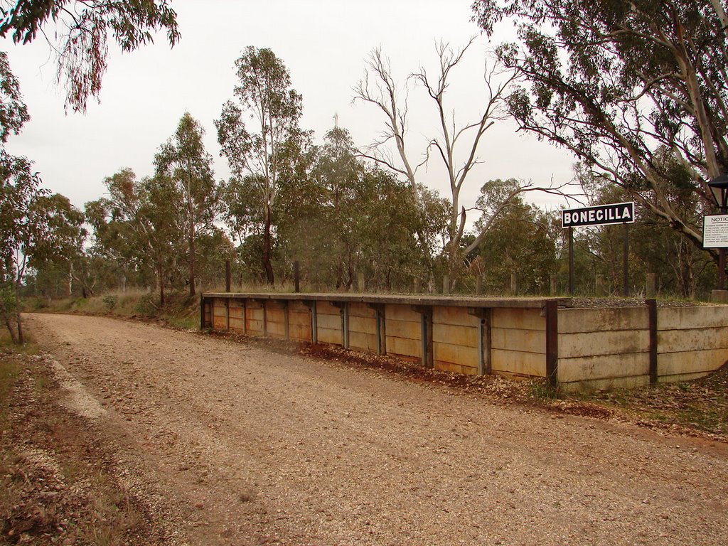
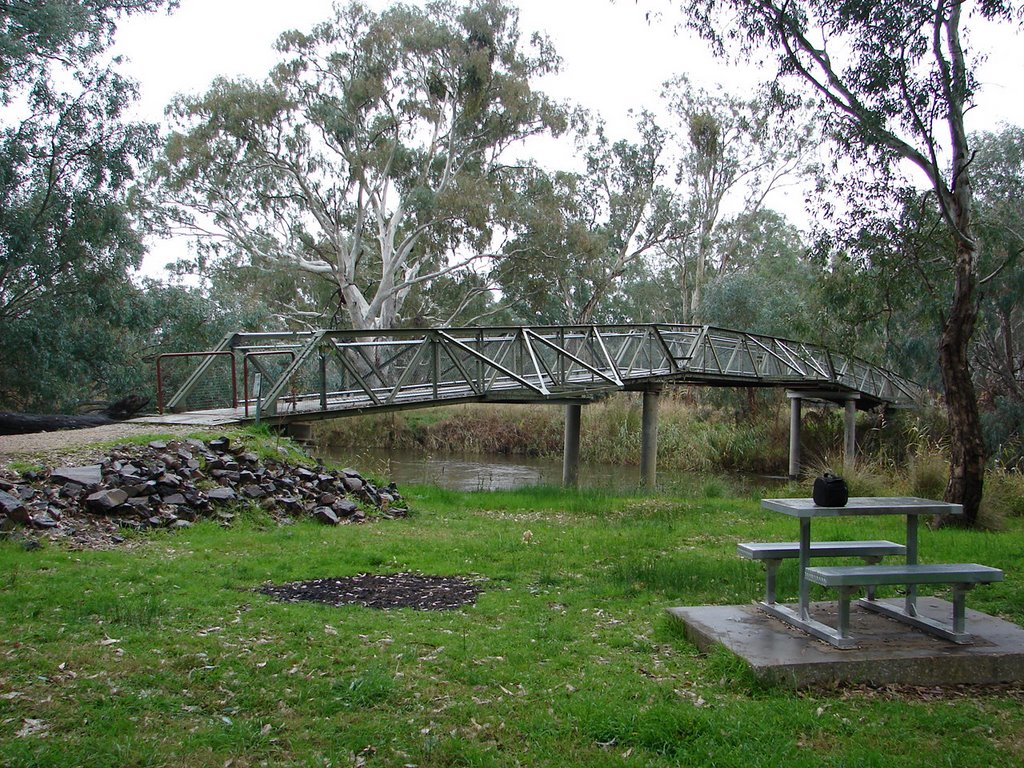
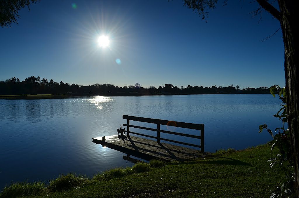
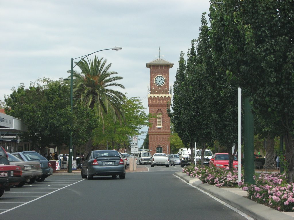
Photos of Baranduda
Baranduda Weather

Predicción: Clear sky
Temperatura: 18.0°
Humedad: 100%
Hora actual: 11:01 AM
Amanece: 06:40 AM
Anochece: 05:41 PM
Cobains, Australia
Latitude: -38.0881 // Longitude: 147.099
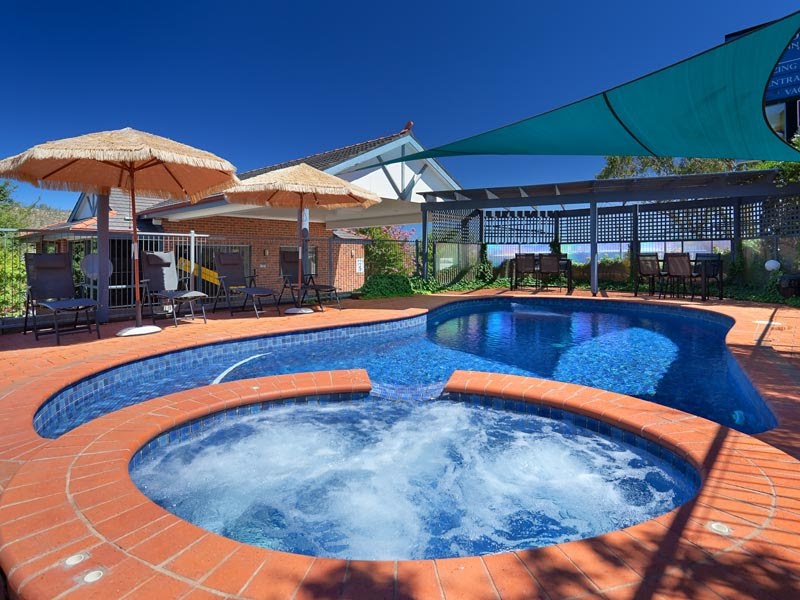
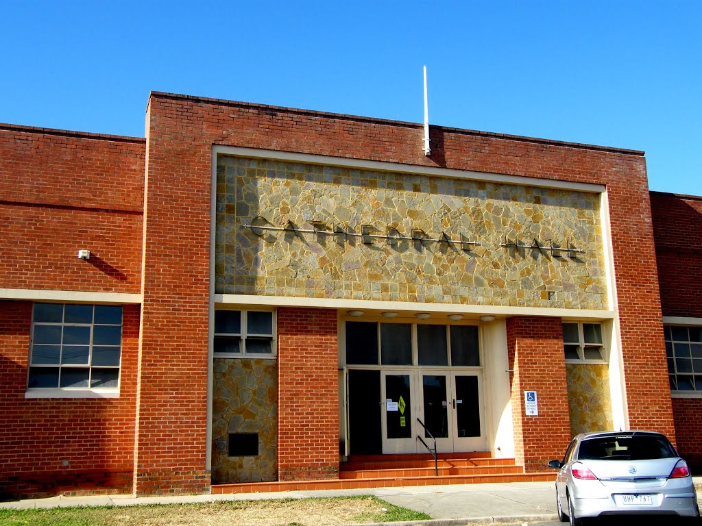
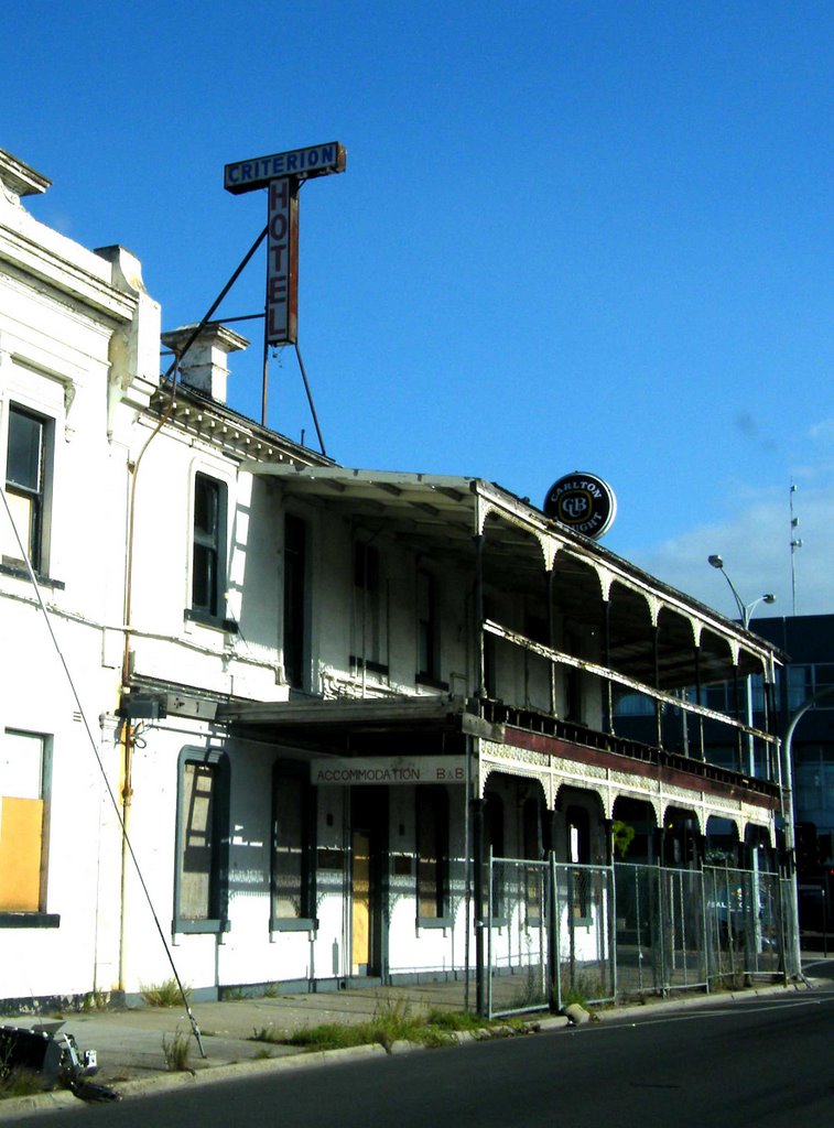
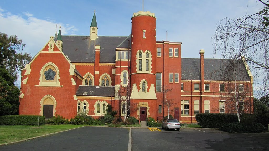
Photos of Cobains
Cobains Weather

Predicción: Light rain
Temperatura: 16.8°
Humedad: 66%
Hora actual: 11:01 AM
Amanece: 06:42 AM
Anochece: 05:38 PM


