Distance between  Bangalow and
  Toowoomba
123.14 mi Straight Distance
166.30 mi Driving Distance
2 hours 44 mins Estimated Driving Time
The straight distance between Bangalow (New South Wales) and Toowoomba (Queensland) is 123.14 mi, but the driving distance is 166.30 mi.
It takes 2 hours 56 mins to go from Bangalow to Toowoomba.
Driving directions from Bangalow to Toowoomba
Distance in kilometers
Straight distance: 198.13 km. Route distance: 267.58 km
Bangalow, Australia
Latitude: -28.6865 // Longitude: 153.524
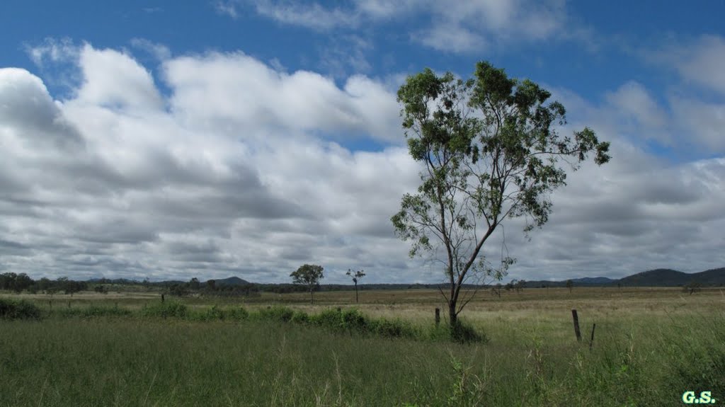
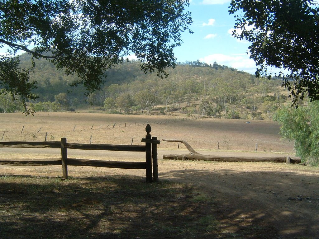
Photos of Bangalow
Bangalow Weather

Predicción: Few clouds
Temperatura: 15.1°
Humedad: 97%
Hora actual: 01:41 AM
Amanece: 06:06 AM
Anochece: 05:23 PM
Toowoomba, Australia
Latitude: -27.5643 // Longitude: 151.954
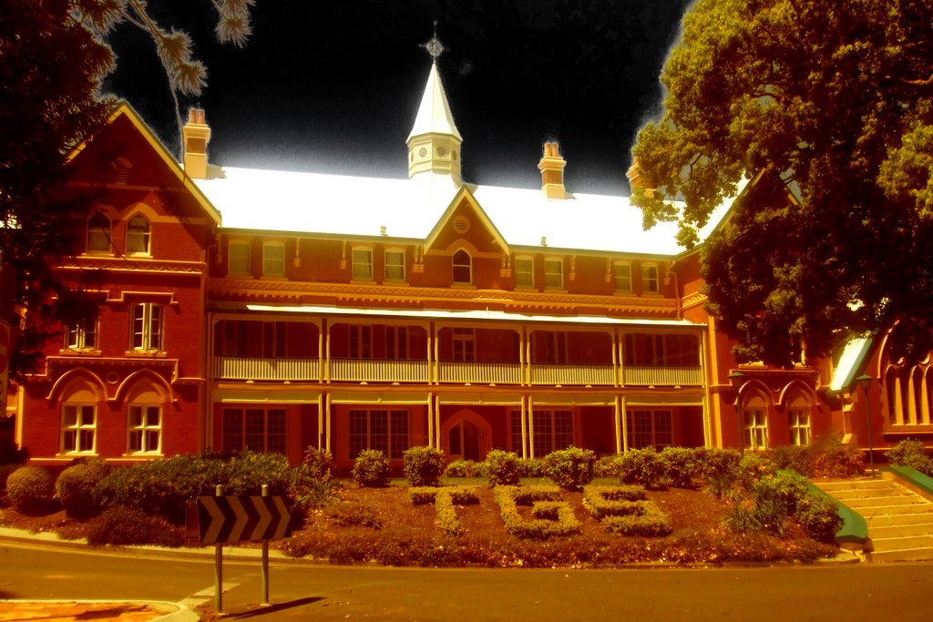
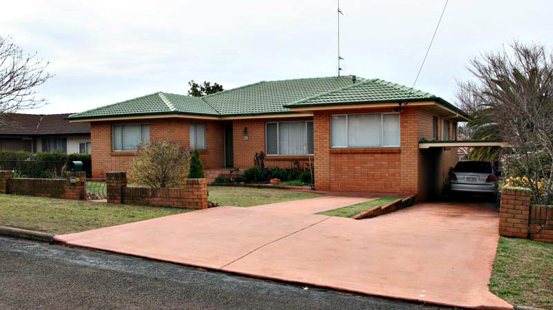
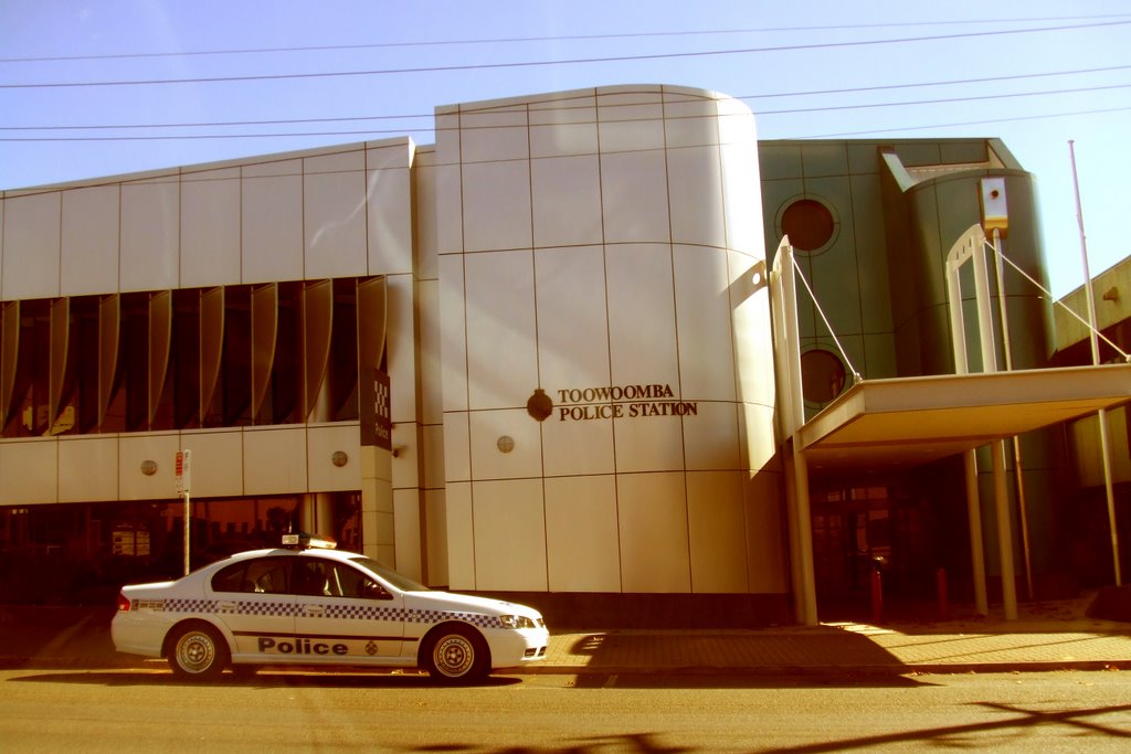
Photos of Toowoomba
Toowoomba Weather

Predicción: Clear sky
Temperatura: 16.0°
Humedad: 76%
Hora actual: 01:41 AM
Amanece: 06:11 AM
Anochece: 05:31 PM


