Distance between  Balmoral (Southern Highlands) and
  Glenwood
590.39 mi Straight Distance
772.19 mi Driving Distance
13 hours 21 mins Estimated Driving Time
The straight distance between Balmoral (Southern Highlands) (New South Wales) and Glenwood (Queensland) is 590.39 mi, but the driving distance is 772.19 mi.
It takes to go from Balmoral (Southern Highlands) to Glenwood.
Driving directions from Balmoral (Southern Highlands) to Glenwood
Distance in kilometers
Straight distance: 949.93 km. Route distance: 1,242.46 km
Balmoral (Southern Highlands), Australia
Latitude: -34.3083 // Longitude: 150.52
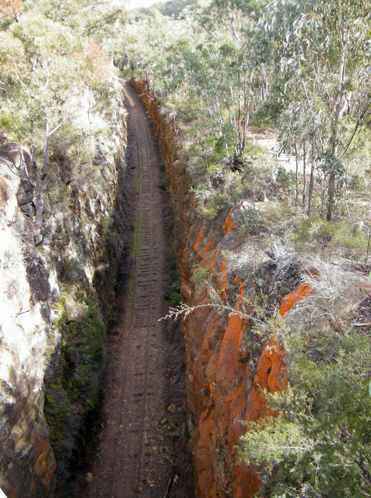
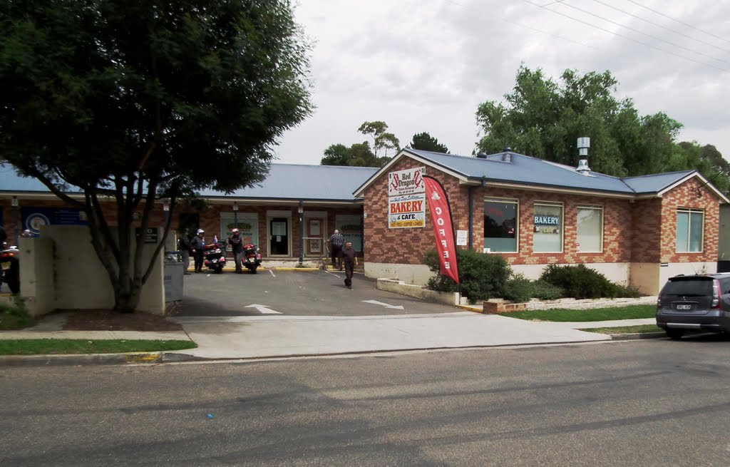
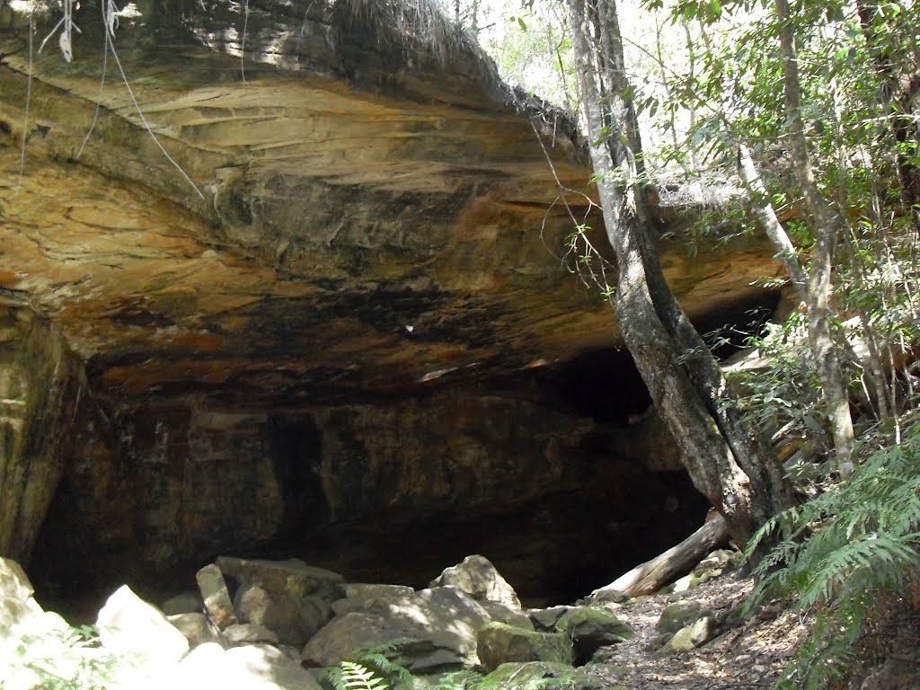
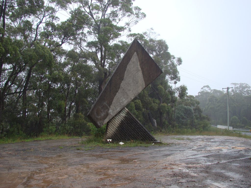
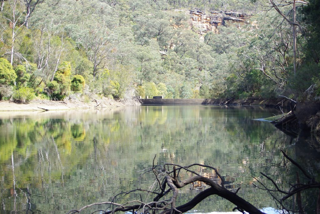
Photos of Balmoral (Southern Highlands)
Balmoral (Southern Highlands) Weather

Predicción: Light rain
Temperatura: 16.1°
Humedad: 49%
Hora actual: 10:02 AM
Amanece: 06:24 AM
Anochece: 05:29 PM
Glenwood, Australia
Latitude: -25.9564 // Longitude: 152.611
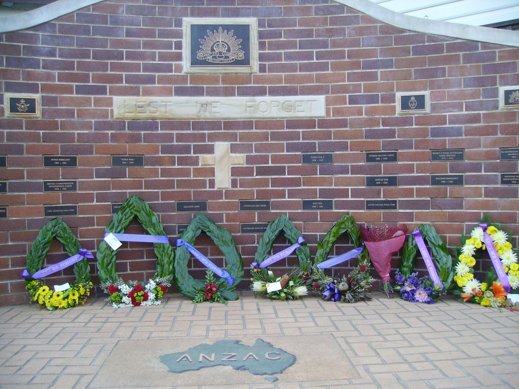
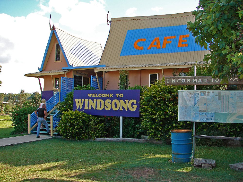
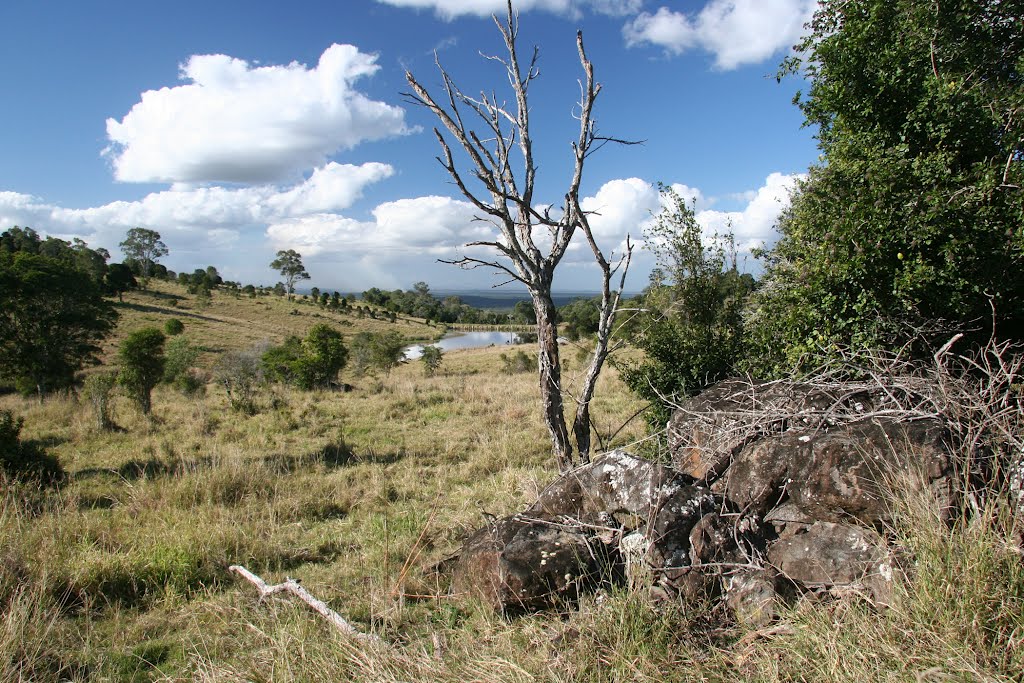
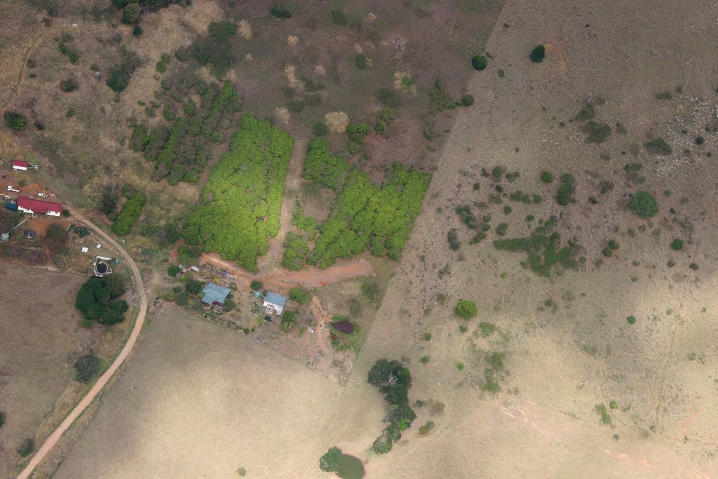
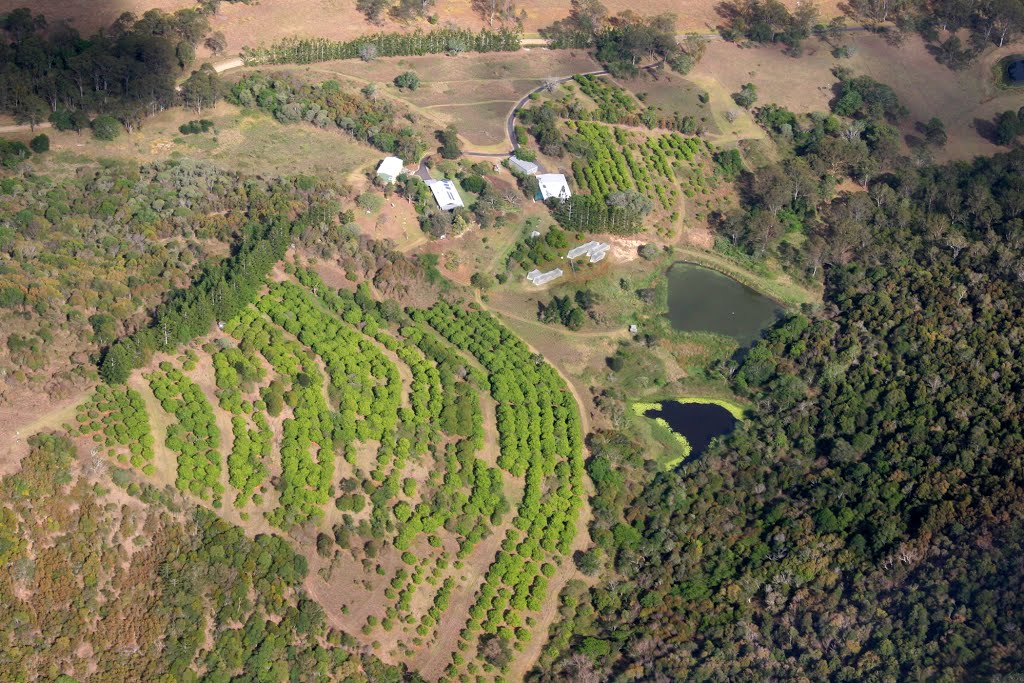
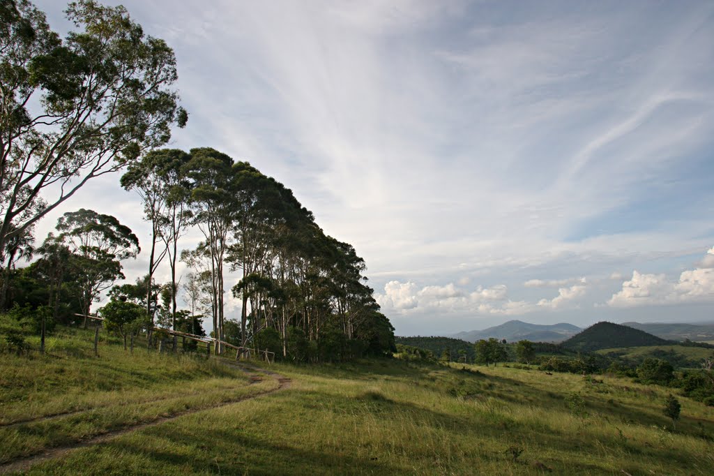
Photos of Glenwood
Glenwood Weather

Predicción: Scattered clouds
Temperatura: 25.7°
Humedad: 55%
Hora actual: 10:00 AM
Amanece: 06:07 AM
Anochece: 05:30 PM


