Distance between  Balmoral (Southern Highlands) and
  Dunrobin
557.40 mi Straight Distance
696.53 mi Driving Distance
11 hours 8 mins Estimated Driving Time
The straight distance between Balmoral (Southern Highlands) (New South Wales) and Dunrobin (Victoria) is 557.40 mi, but the driving distance is 696.53 mi.
It takes to go from Balmoral (Southern Highlands) to Dunrobin.
Driving directions from Balmoral (Southern Highlands) to Dunrobin
Distance in kilometers
Straight distance: 896.85 km. Route distance: 1,120.72 km
Balmoral (Southern Highlands), Australia
Latitude: -34.3083 // Longitude: 150.52
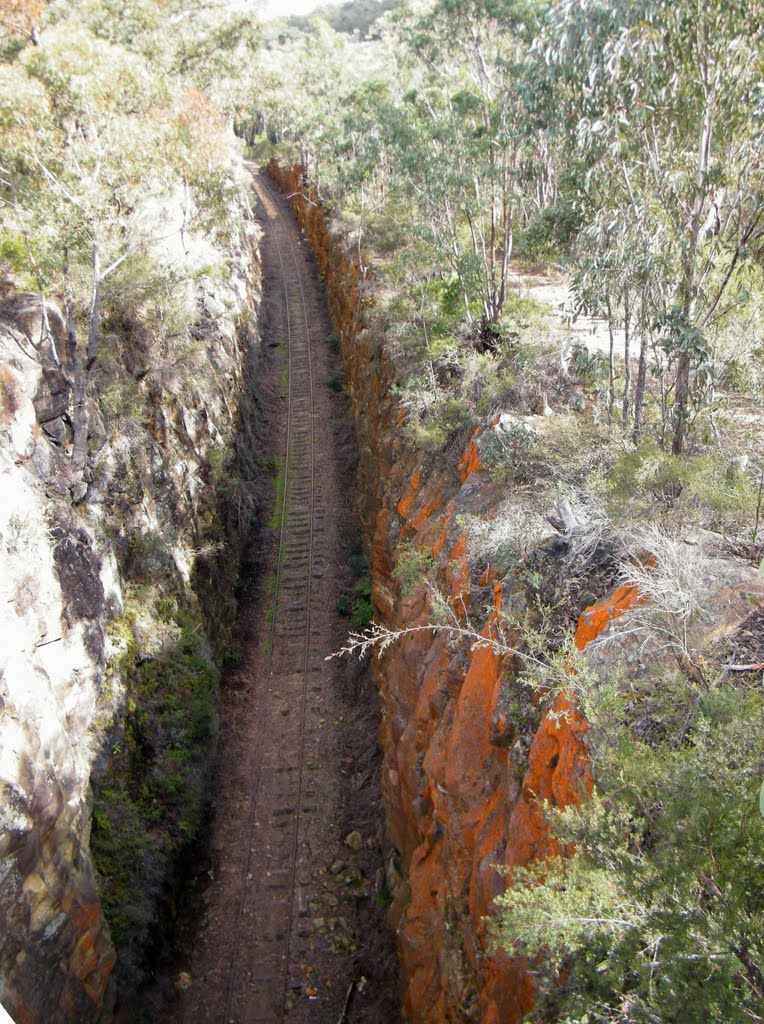
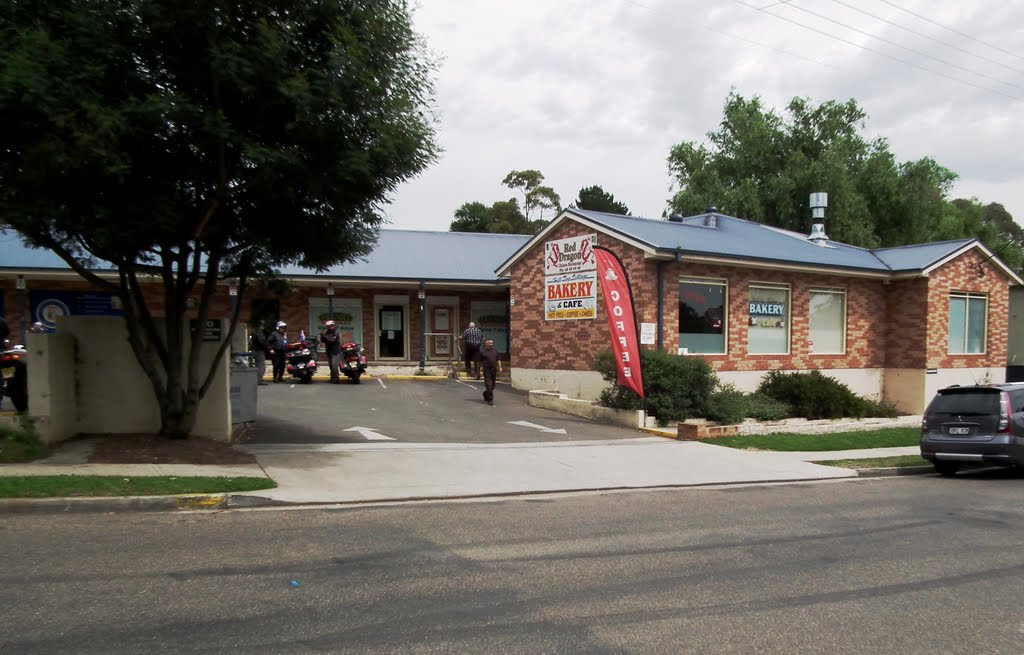
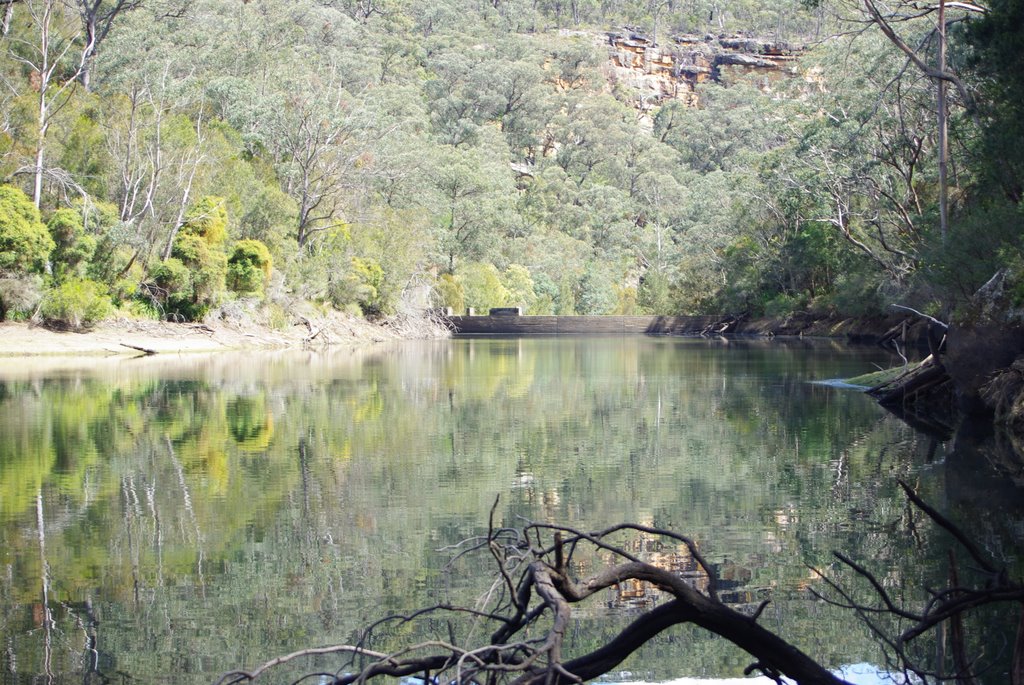
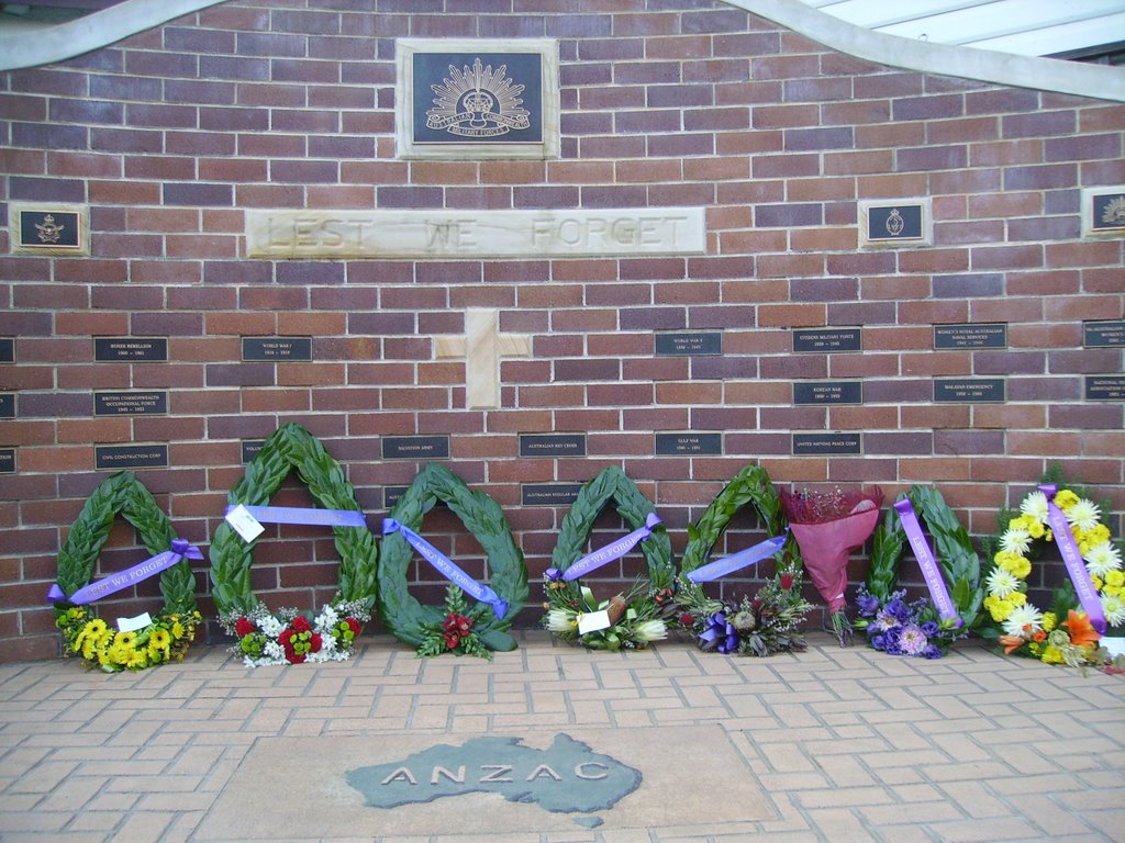
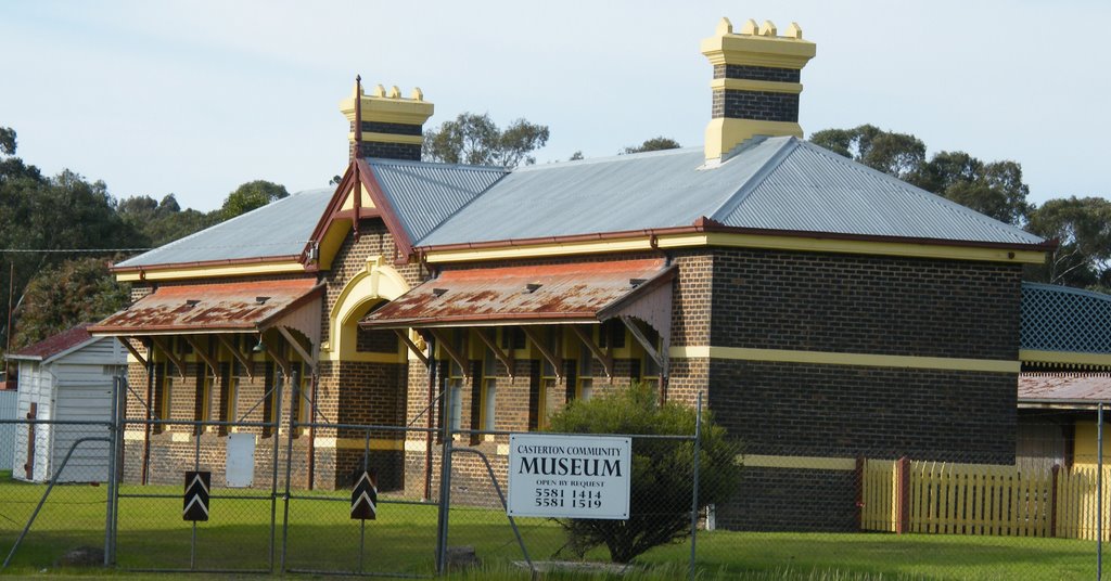
Photos of Balmoral (Southern Highlands)
Balmoral (Southern Highlands) Weather

Predicción: Overcast clouds
Temperatura: 13.3°
Humedad: 93%
Hora actual: 11:03 PM
Amanece: 06:21 AM
Anochece: 05:33 PM
Dunrobin, Australia
Latitude: -37.5387 // Longitude: 141.385
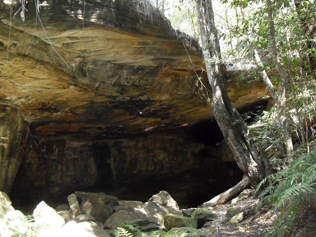
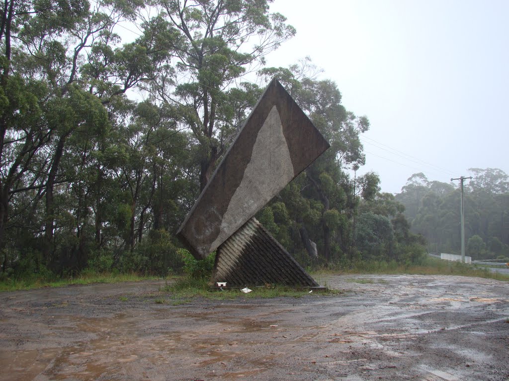
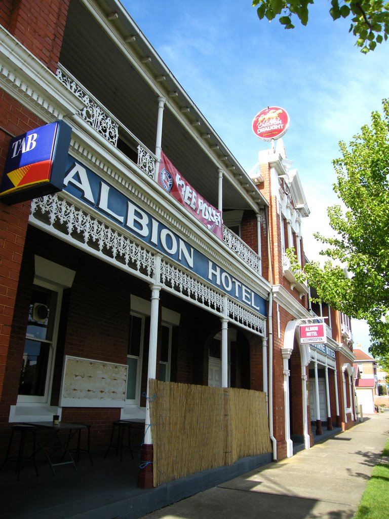
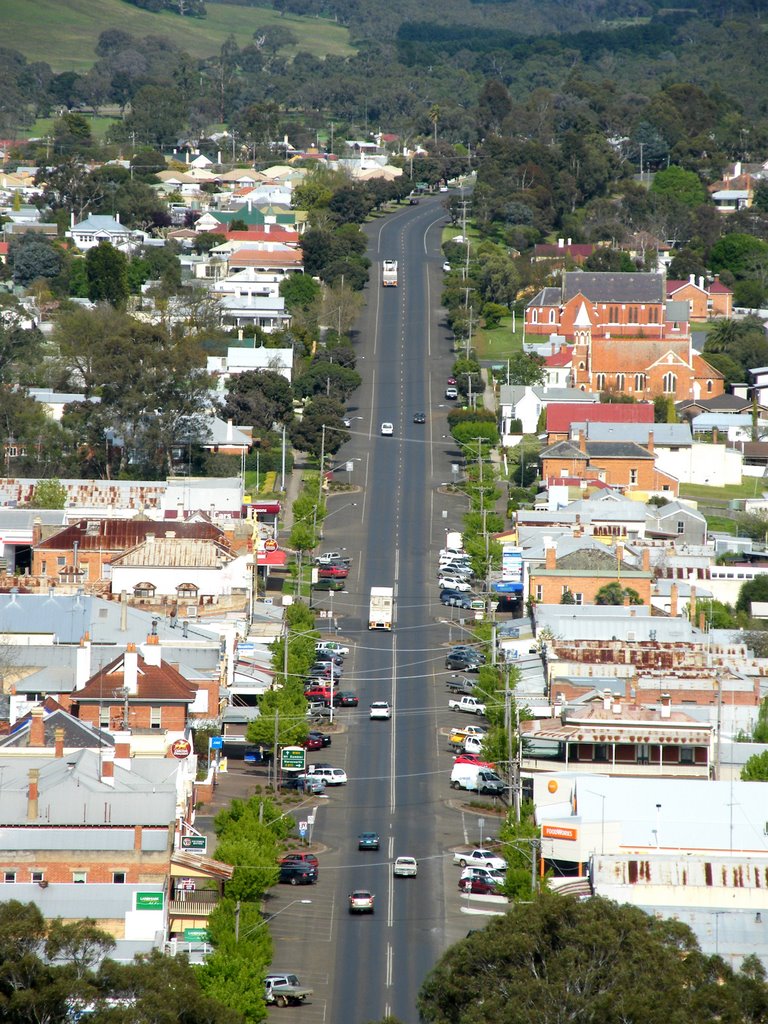
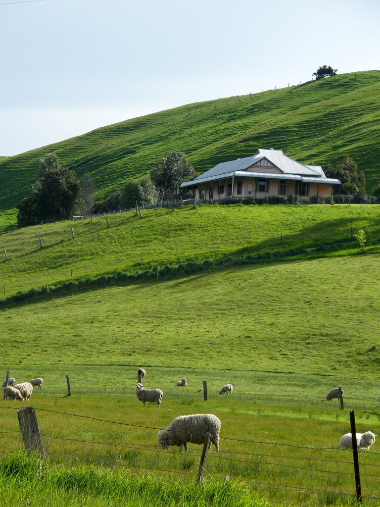
Photos of Dunrobin
Dunrobin Weather

Predicción: Overcast clouds
Temperatura: 10.8°
Humedad: 97%
Hora actual: 11:03 PM
Amanece: 07:01 AM
Anochece: 06:06 PM


