Distance between  Ballina and
  Caloundra
145.09 mi Straight Distance
174.62 mi Driving Distance
2 hours 50 mins Estimated Driving Time
The straight distance between Ballina (New South Wales) and Caloundra (Queensland) is 145.09 mi, but the driving distance is 174.62 mi.
It takes 3 hours 6 mins to go from Ballina to Caloundra.
Driving directions from Ballina to Caloundra
Distance in kilometers
Straight distance: 233.45 km. Route distance: 280.96 km
Ballina, Australia
Latitude: -28.8685 // Longitude: 153.56
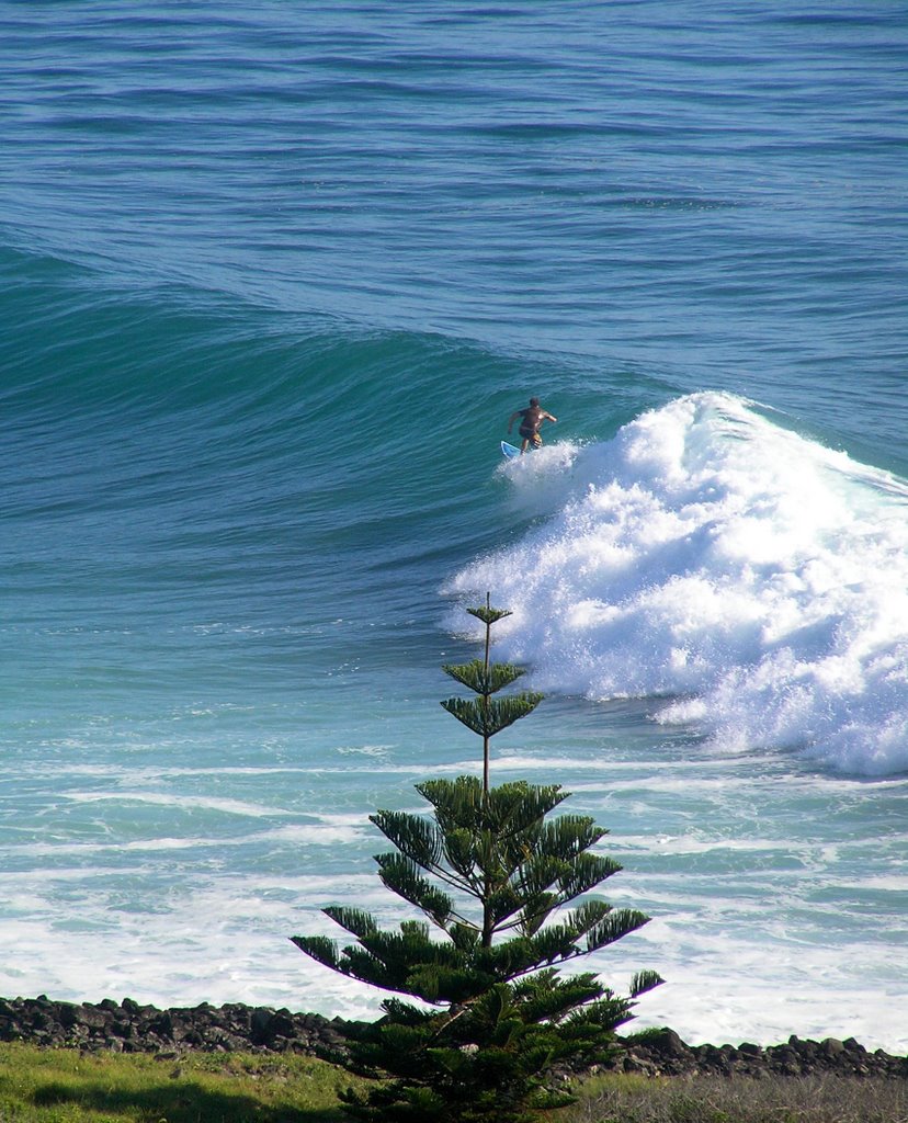
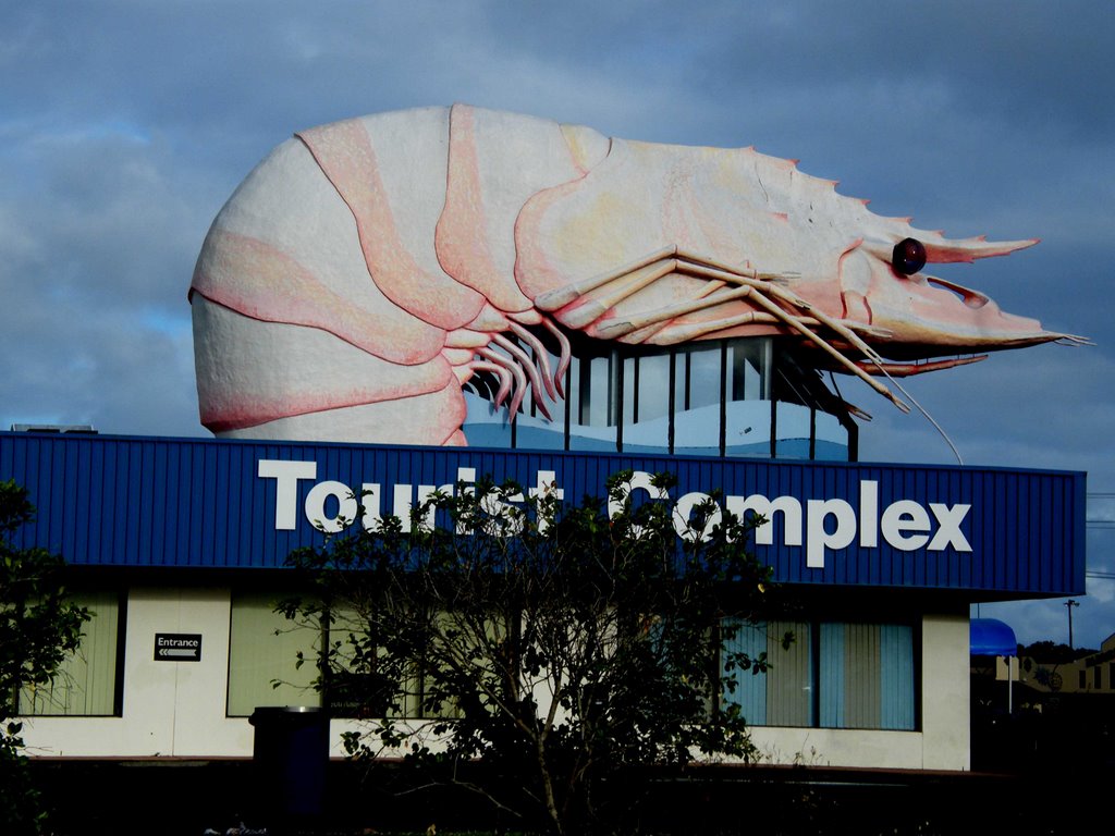
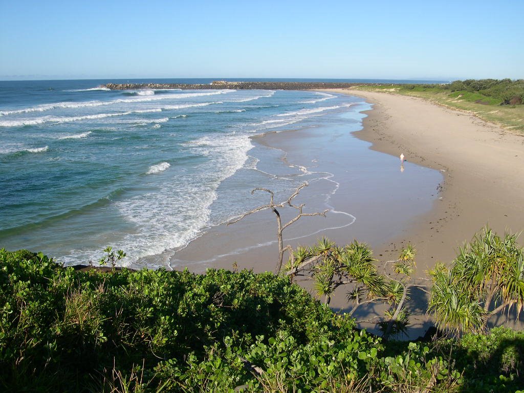
Photos of Ballina
Ballina Weather

Predicción: Moderate rain
Temperatura: 21.6°
Humedad: 86%
Hora actual: 07:59 PM
Amanece: 06:05 AM
Anochece: 05:24 PM
Caloundra, Australia
Latitude: -26.8043 // Longitude: 153.124
Photos of Caloundra
Caloundra Weather

Predicción: Overcast clouds
Temperatura: 21.7°
Humedad: 97%
Hora actual: 07:59 PM
Amanece: 06:05 AM
Anochece: 05:28 PM


