Distance between  Balaclava and
  Weipa
Weipa
1,571.48 mi Straight Distance
1,983.61 mi Driving Distance
1 day 15 hours Estimated Driving Time
The straight distance between Balaclava (New South Wales) and Weipa (Queensland) is 1,571.48 mi, but the driving distance is 1,983.61 mi.
It takes to go from Balaclava to Weipa.
Driving directions from Balaclava to Weipa
Distance in kilometers
Straight distance: 2,528.50 km. Route distance: 3,191.64 km
Balaclava, Australia
Latitude: -33.7819 // Longitude: 151.099
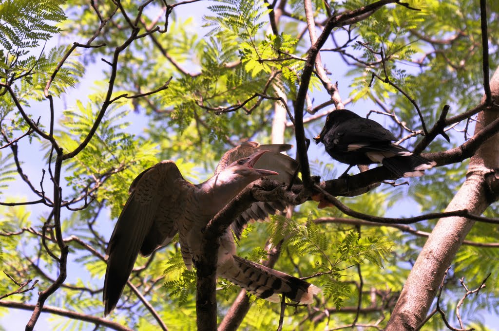
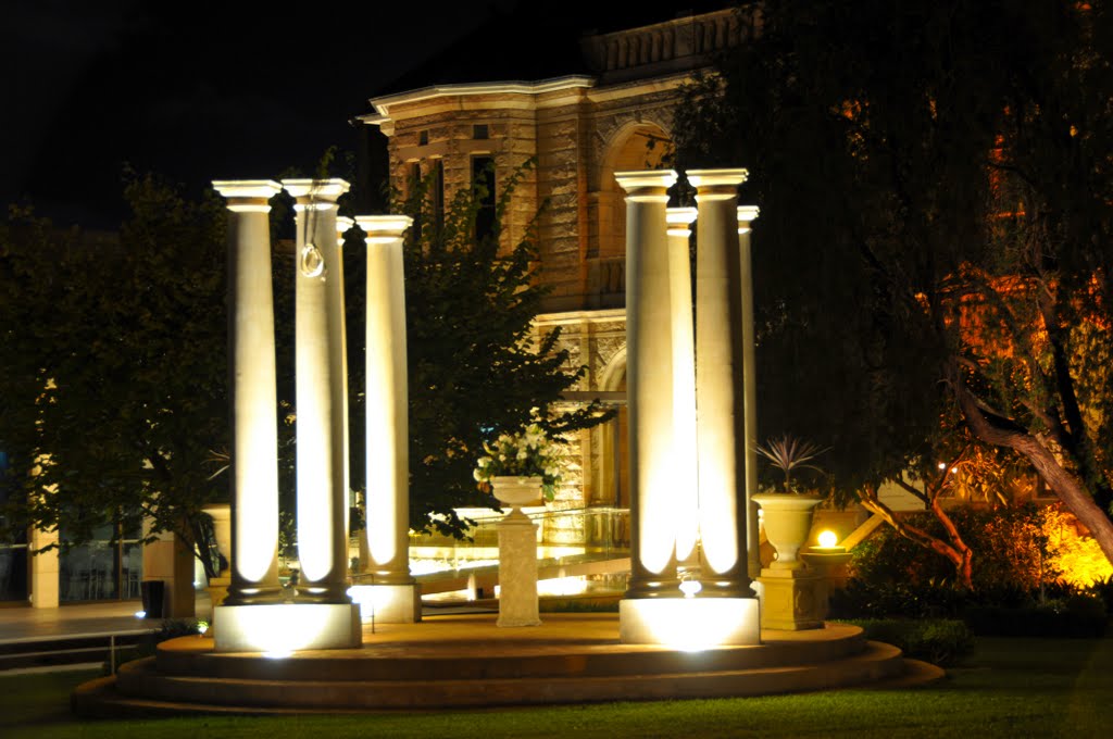
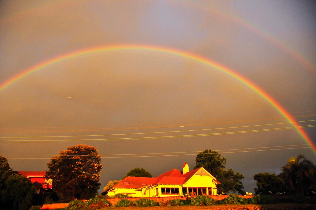
Photos of Balaclava
Balaclava Weather

Predicción: Broken clouds
Temperatura: 21.5°
Humedad: 76%
Hora actual: 11:26 AM
Amanece: 06:20 AM
Anochece: 05:29 PM
Weipa, Australia
Latitude: -12.6591 // Longitude: 141.838
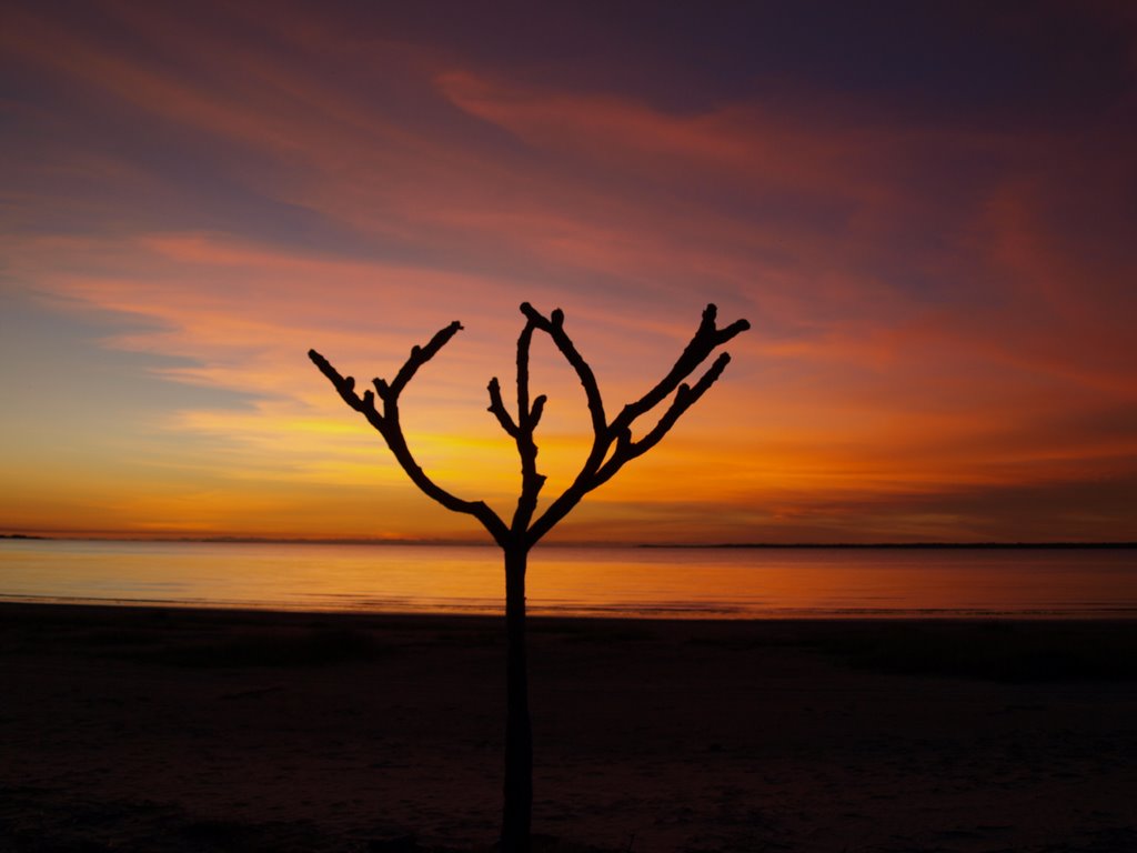
Photos of Weipa
Weipa Weather

Predicción: Overcast clouds
Temperatura: 28.6°
Humedad: 74%
Hora actual: 11:26 AM
Amanece: 06:38 AM
Anochece: 06:25 PM


