Distance between  Badjaling and
  Meadows
1,240.77 mi Straight Distance
1,541 mi Driving Distance
1 days 0 hours Estimated Driving Time
The straight distance between Badjaling (Western Australia) and Meadows (South Australia) is 1,240.77 mi, but the driving distance is 1,541 mi.
It takes 1 day 3 hours to go from Badjaling to Meadows.
Driving directions from Badjaling to Meadows
Distance in kilometers
Straight distance: 1,996.41 km. Route distance: 2,479.47 km
Badjaling, Australia
Latitude: -32 // Longitude: 117.502
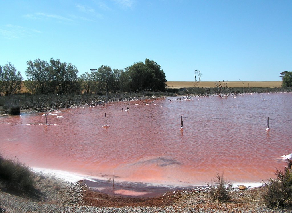
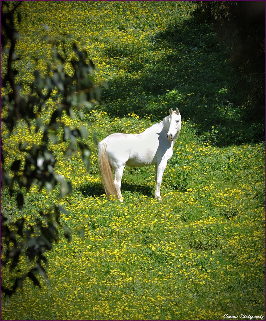
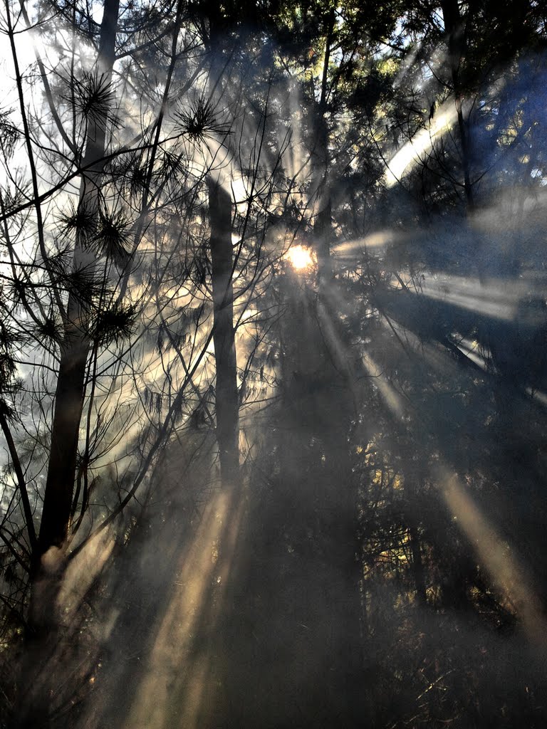
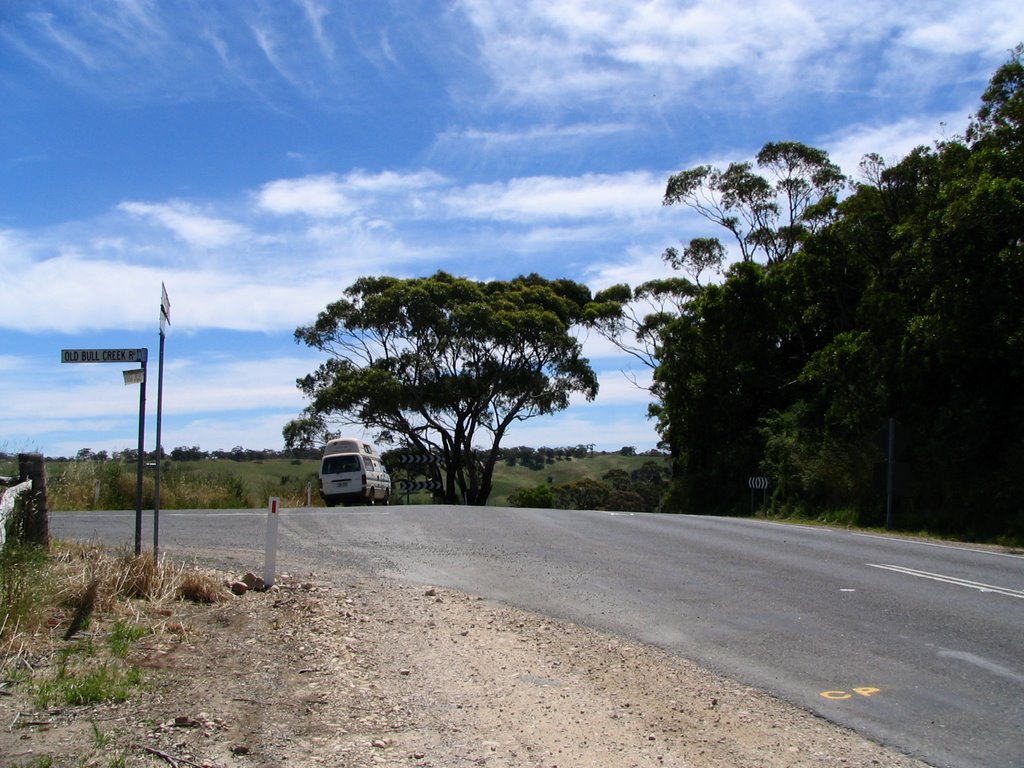
Photos of Badjaling
Badjaling Weather

Predicción: Clear sky
Temperatura: 27.8°
Humedad: 26%
Hora actual: 12:00 AM
Amanece: 10:32 PM
Anochece: 09:47 AM
Meadows, Australia
Latitude: -35.1806 // Longitude: 138.763
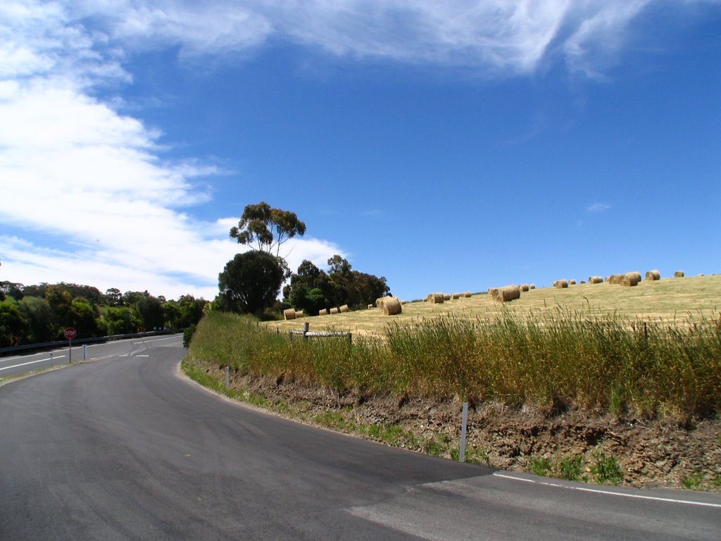
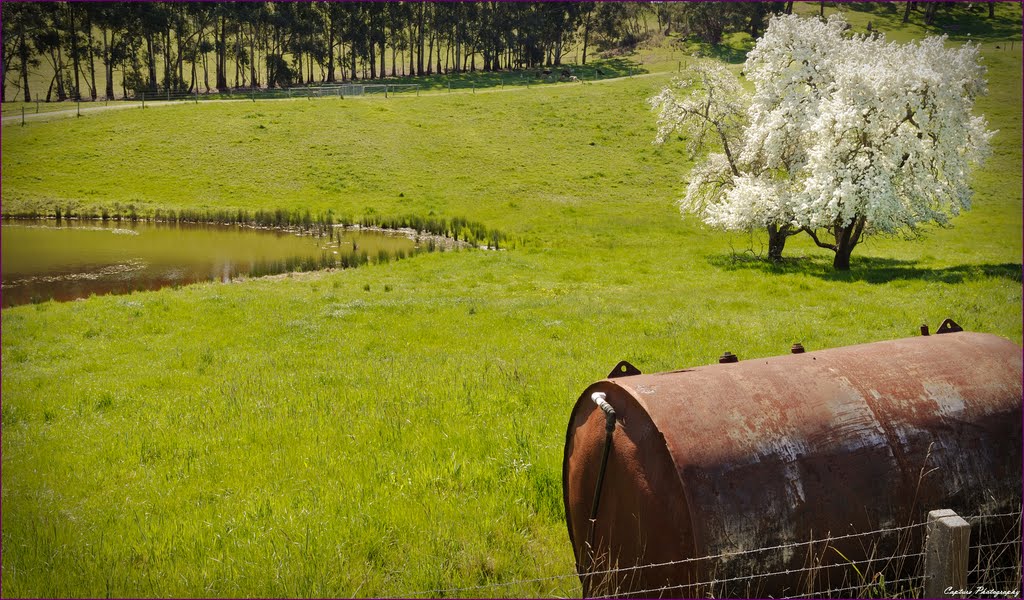
Photos of Meadows
Meadows Weather

Predicción: Clear sky
Temperatura: 18.0°
Humedad: 59%
Hora actual: 03:48 PM
Amanece: 06:39 AM
Anochece: 05:49 PM


