Distance between  Badger Head and
  Upper Gundowring
318.11 mi Straight Distance
567.91 mi Driving Distance
14 hours 9 mins Estimated Driving Time
The straight distance between Badger Head (Tasmania) and Upper Gundowring (Victoria) is 318.11 mi, but the driving distance is 567.91 mi.
It takes to go from Badger Head to Upper Gundowring.
Driving directions from Badger Head to Upper Gundowring
Distance in kilometers
Straight distance: 511.84 km. Route distance: 913.77 km
Badger Head, Australia
Latitude: -41.1285 // Longitude: 146.715
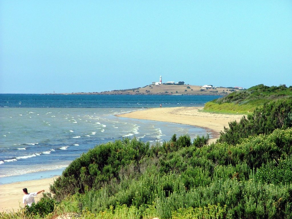
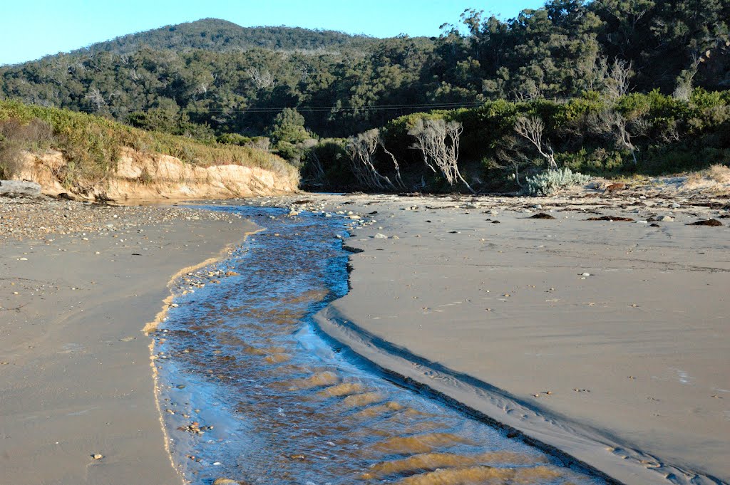
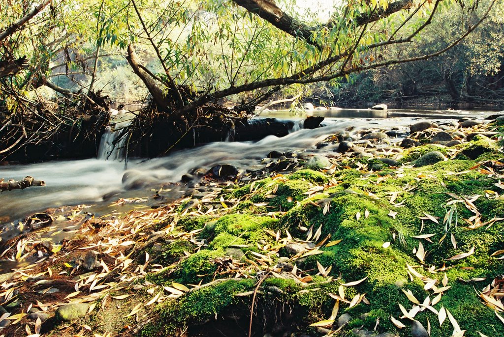
Photos of Badger Head
Badger Head Weather

Predicción: Few clouds
Temperatura: 9.1°
Humedad: 79%
Hora actual: 12:00 AM
Amanece: 08:47 PM
Anochece: 07:37 AM
Upper Gundowring, Australia
Latitude: -36.5356 // Longitude: 147.127
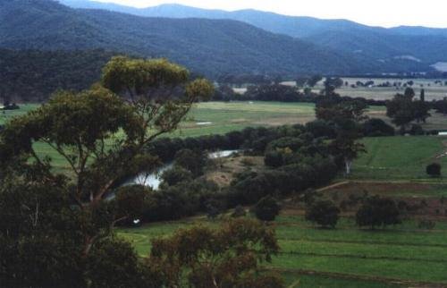
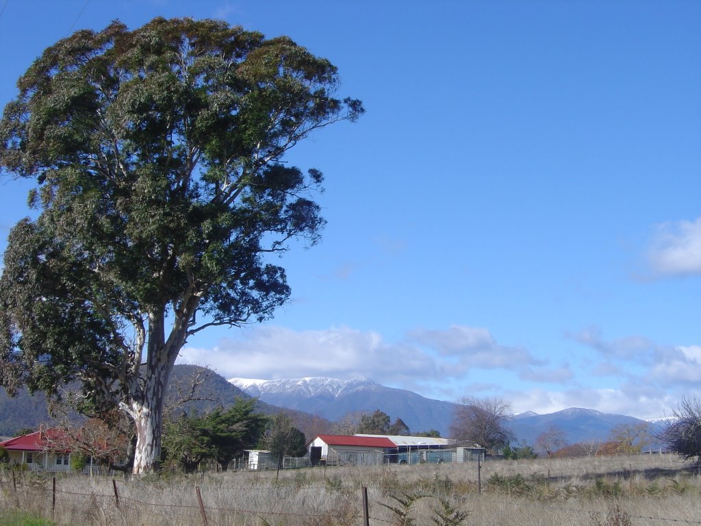
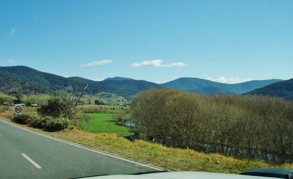
Photos of Upper Gundowring
Upper Gundowring Weather

Predicción: Overcast clouds
Temperatura: 6.6°
Humedad: 85%
Hora actual: 12:00 AM
Amanece: 08:39 PM
Anochece: 07:41 AM


