Distance between  Babinda and
  Korrelocking
2,022.31 mi Straight Distance
2,966.87 mi Driving Distance
2 days 3 hours Estimated Driving Time
The straight distance between Babinda (Queensland) and Korrelocking (Western Australia) is 2,022.31 mi, but the driving distance is 2,966.87 mi.
It takes to go from Babinda to Korrelocking.
Driving directions from Babinda to Korrelocking
Distance in kilometers
Straight distance: 3,253.90 km. Route distance: 4,773.69 km
Babinda, Australia
Latitude: -17.3439 // Longitude: 145.921
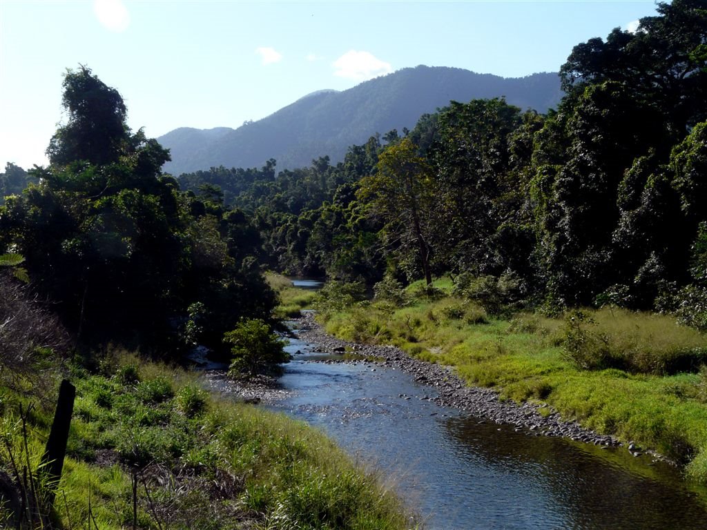
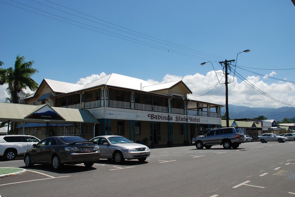
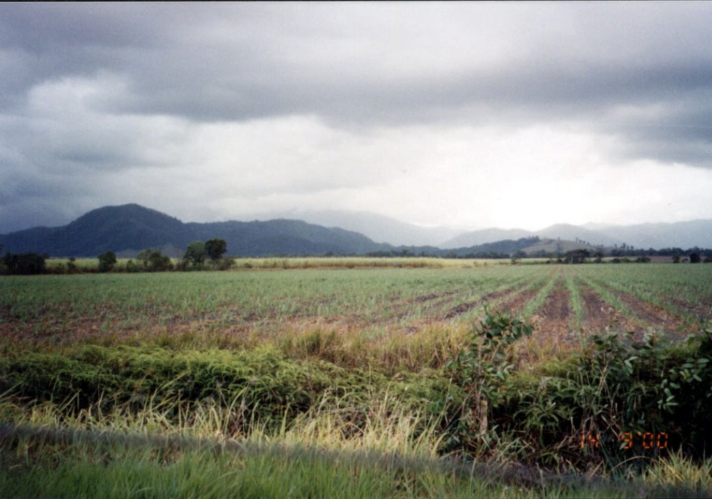
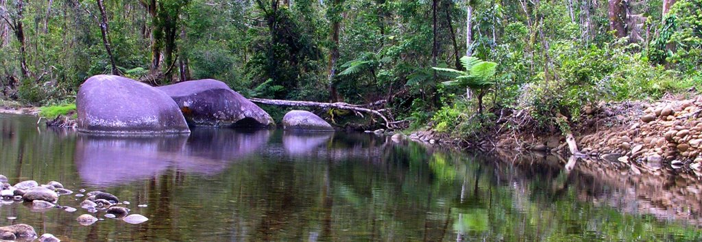
Photos of Babinda
Babinda Weather

Predicción: Light rain
Temperatura: 25.7°
Humedad: 88%
Hora actual: 11:49 AM
Amanece: 06:26 AM
Anochece: 06:04 PM
Korrelocking, Australia
Latitude: -31.1999 // Longitude: 117.476
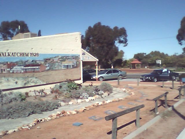
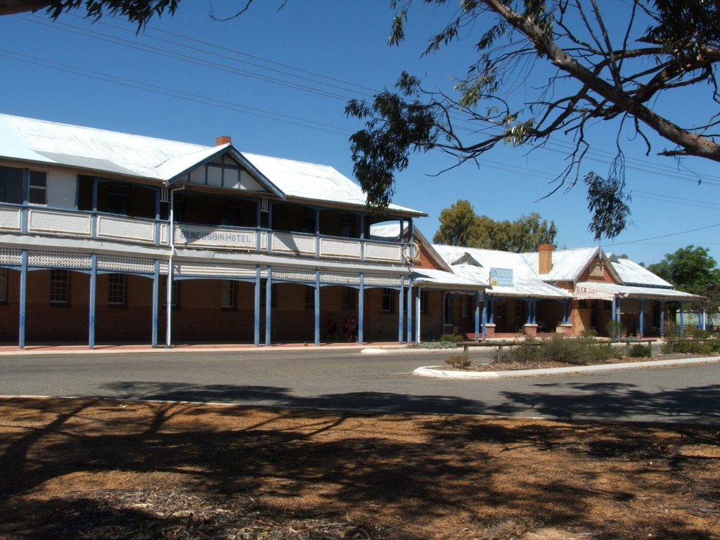
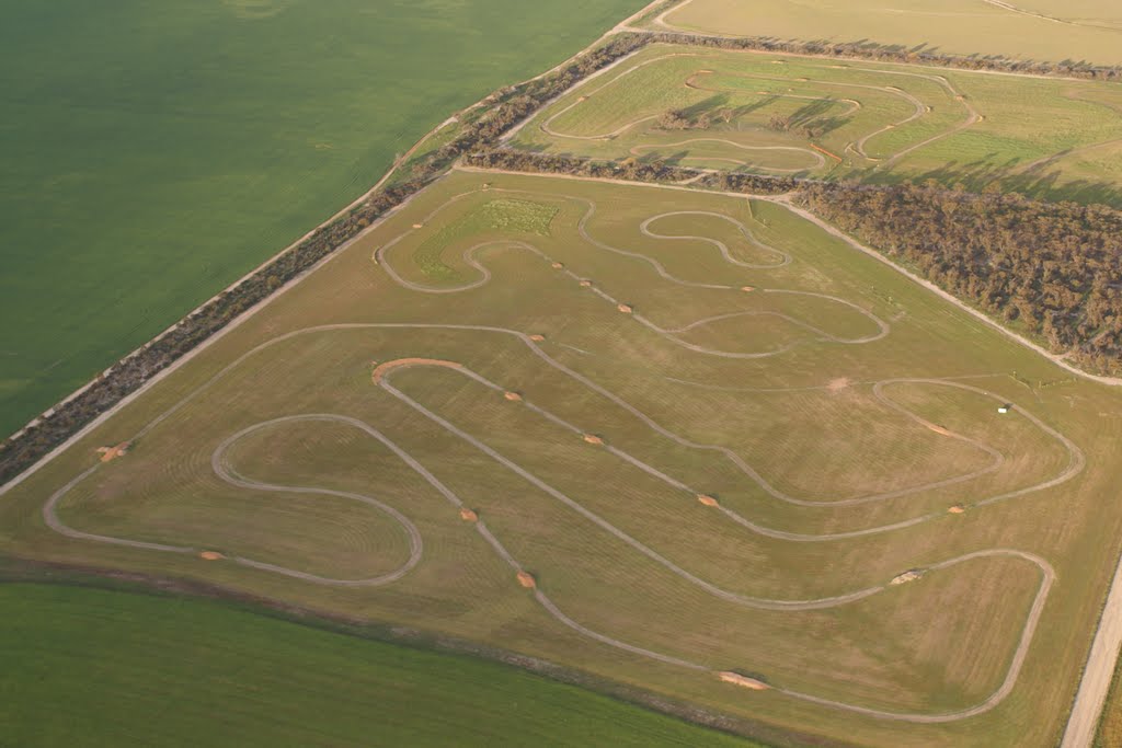
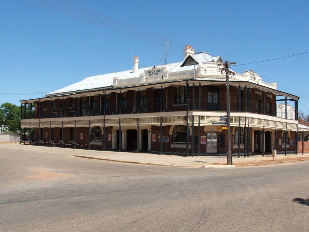
Photos of Korrelocking
Korrelocking Weather

Predicción: Clear sky
Temperatura: 21.8°
Humedad: 33%
Hora actual: 10:00 AM
Amanece: 08:33 AM
Anochece: 07:45 PM


