Distance between  Axedale and
  Kerang East
75.03 mi Straight Distance
95.23 mi Driving Distance
1 hour 43 mins Estimated Driving Time
The straight distance between Axedale (Victoria) and Kerang East (Victoria) is 75.03 mi, but the driving distance is 95.23 mi.
It takes 1 hour 48 mins to go from Axedale to Kerang East.
Driving directions from Axedale to Kerang East
Distance in kilometers
Straight distance: 120.72 km. Route distance: 153.23 km
Axedale, Australia
Latitude: -36.7869 // Longitude: 144.502
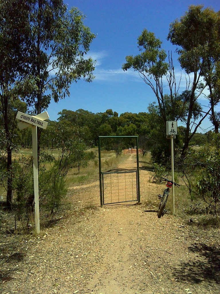
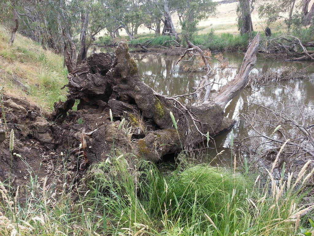
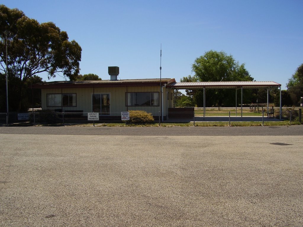
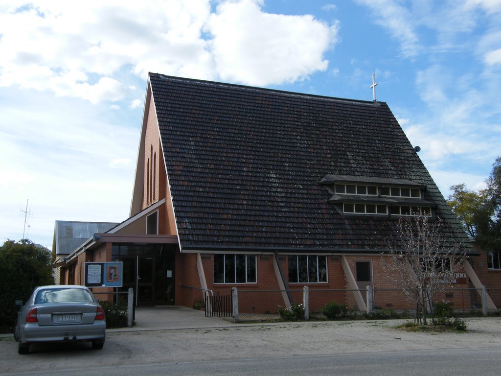
Photos of Axedale
Axedale Weather

Predicción: Overcast clouds
Temperatura: 13.5°
Humedad: 79%
Hora actual: 09:55 PM
Amanece: 06:48 AM
Anochece: 05:54 PM
Kerang East, Australia
Latitude: -35.7735 // Longitude: 144.018
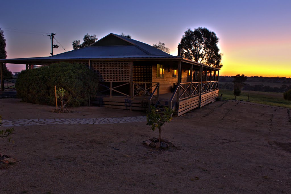
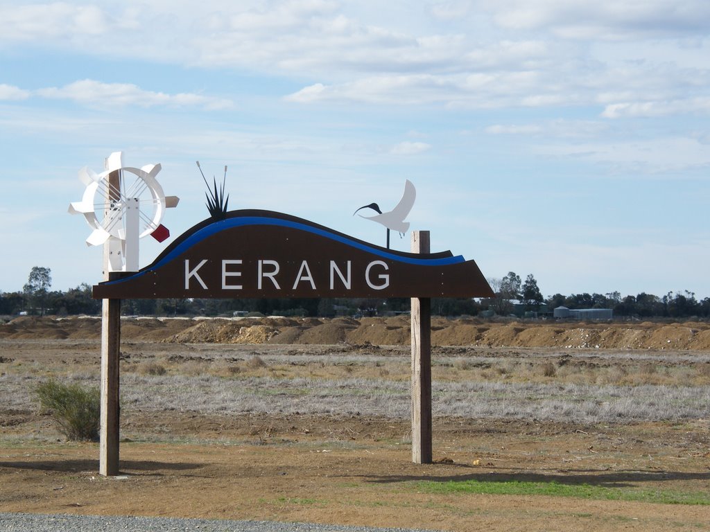
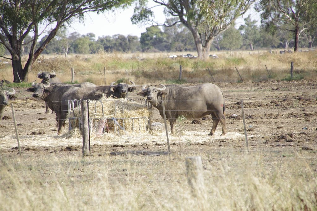
Photos of Kerang East
Kerang East Weather

Predicción: Broken clouds
Temperatura: 14.2°
Humedad: 61%
Hora actual: 10:00 AM
Amanece: 06:49 AM
Anochece: 05:57 PM


