Distance between  Axe Creek and
  Nyah West
126.89 mi Straight Distance
144.53 mi Driving Distance
2 hours 50 mins Estimated Driving Time
The straight distance between Axe Creek (Victoria) and Nyah West (Victoria) is 126.89 mi, but the driving distance is 144.53 mi.
It takes to go from Axe Creek to Nyah West.
Driving directions from Axe Creek to Nyah West
Distance in kilometers
Straight distance: 204.17 km. Route distance: 232.55 km
Axe Creek, Australia
Latitude: -36.8124 // Longitude: 144.395
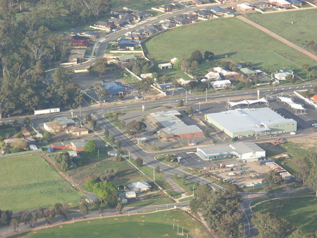
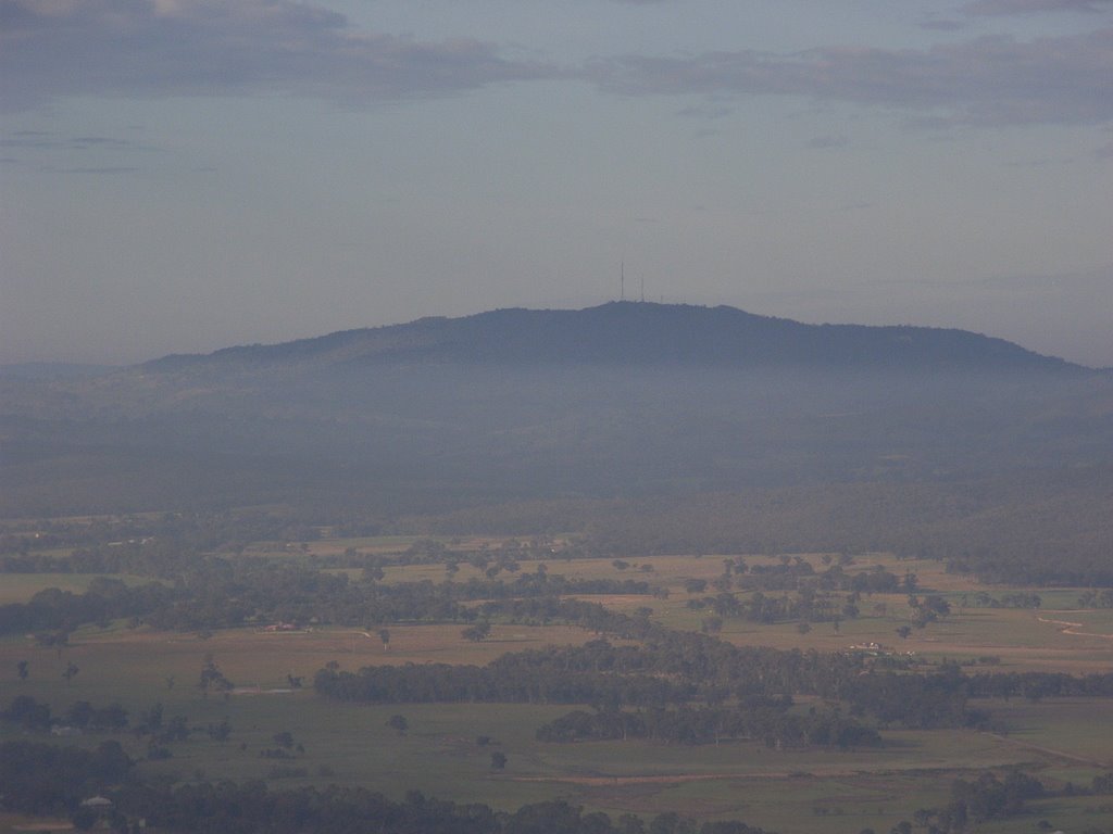
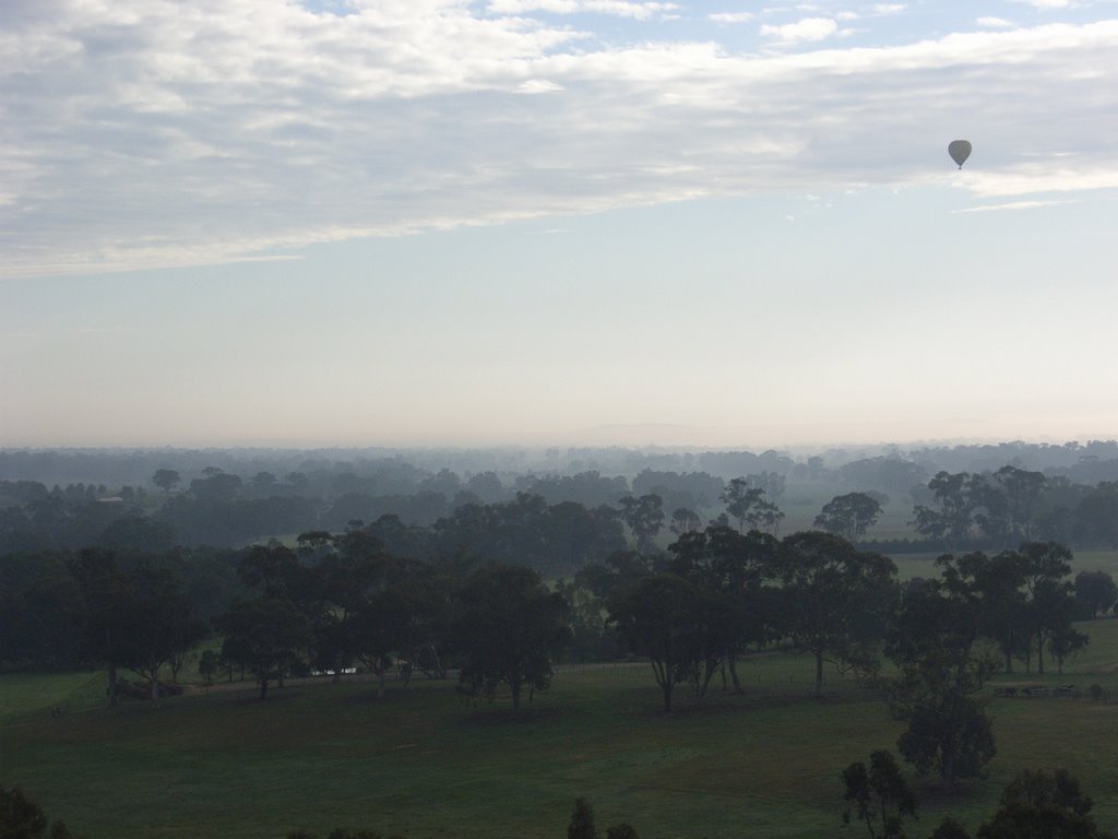
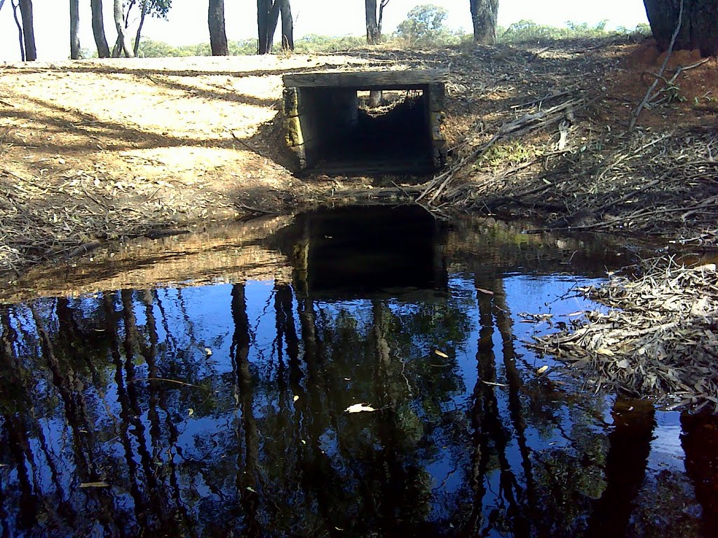
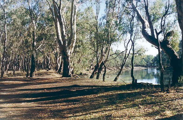
Photos of Axe Creek
Axe Creek Weather

Predicción: Scattered clouds
Temperatura: 17.4°
Humedad: 43%
Hora actual: 12:12 PM
Amanece: 06:50 AM
Anochece: 05:52 PM
Nyah West, Australia
Latitude: -35.1854 // Longitude: 143.342
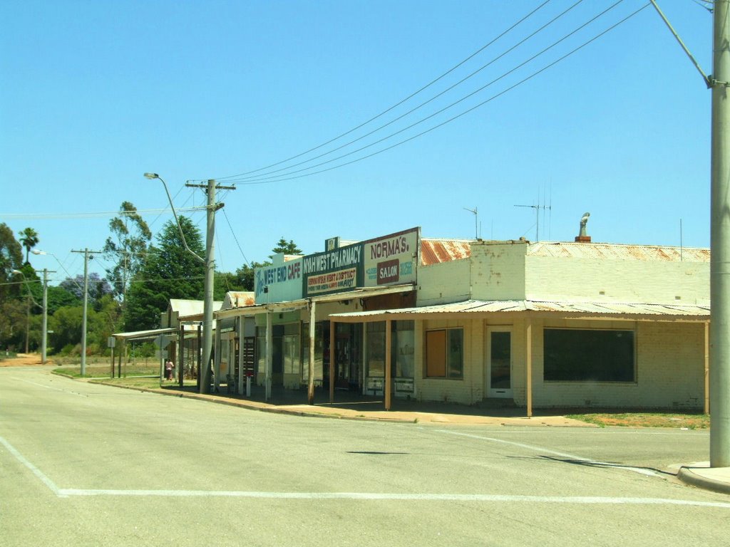
Photos of Nyah West
Nyah West Weather

Predicción: Clear sky
Temperatura: 17.8°
Humedad: 45%
Hora actual: 12:12 PM
Amanece: 06:53 AM
Anochece: 05:58 PM


