Distance between  Avenue Range and
  Humpty Doo
1,776.08 mi Straight Distance
2,073.70 mi Driving Distance
1 day 5 hours Estimated Driving Time
The straight distance between Avenue Range (South Australia) and Humpty Doo (Northern Territory) is 1,776.08 mi, but the driving distance is 2,073.70 mi.
It takes 1 day 12 hours to go from Avenue Range to Humpty Doo.
Driving directions from Avenue Range to Humpty Doo
Distance in kilometers
Straight distance: 2,857.72 km. Route distance: 3,336.58 km
Avenue Range, Australia
Latitude: -36.9424 // Longitude: 140.23
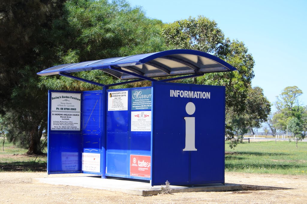
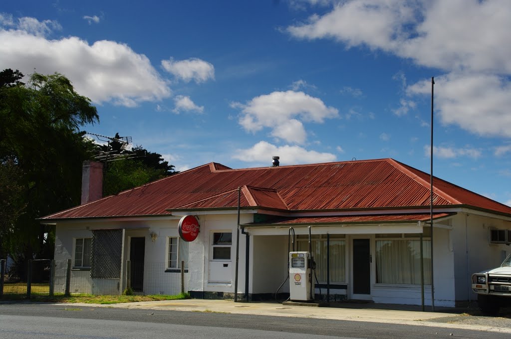
Photos of Avenue Range
Avenue Range Weather

Predicción: Few clouds
Temperatura: 13.2°
Humedad: 73%
Hora actual: 12:00 AM
Amanece: 09:06 PM
Anochece: 08:11 AM
Humpty Doo, Australia
Latitude: -12.5743 // Longitude: 131.102
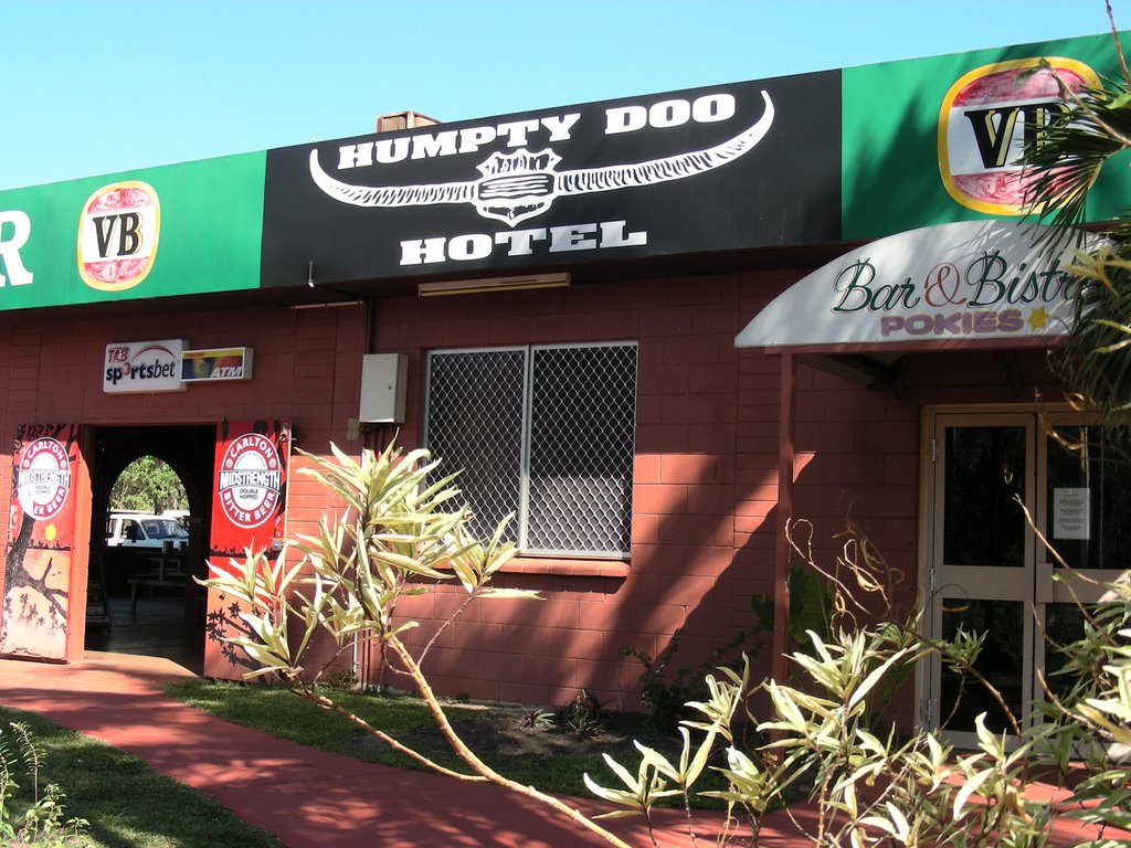
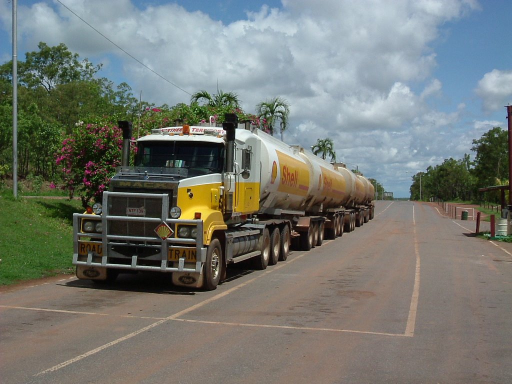
Photos of Humpty Doo
Humpty Doo Weather

Predicción: Overcast clouds
Temperatura: 26.7°
Humedad: 87%
Hora actual: 08:33 AM
Amanece: 06:51 AM
Anochece: 06:39 PM


