Distance between  Augusta and
  Ardath
232.18 mi Straight Distance
294.04 mi Driving Distance
5 hours 31 mins Estimated Driving Time
The straight distance between Augusta (Western Australia) and Ardath (Western Australia) is 232.18 mi, but the driving distance is 294.04 mi.
It takes 5 hours 16 mins to go from Augusta to Ardath.
Driving directions from Augusta to Ardath
Distance in kilometers
Straight distance: 373.57 km. Route distance: 473.11 km
Augusta, Australia
Latitude: -34.3149 // Longitude: 115.159
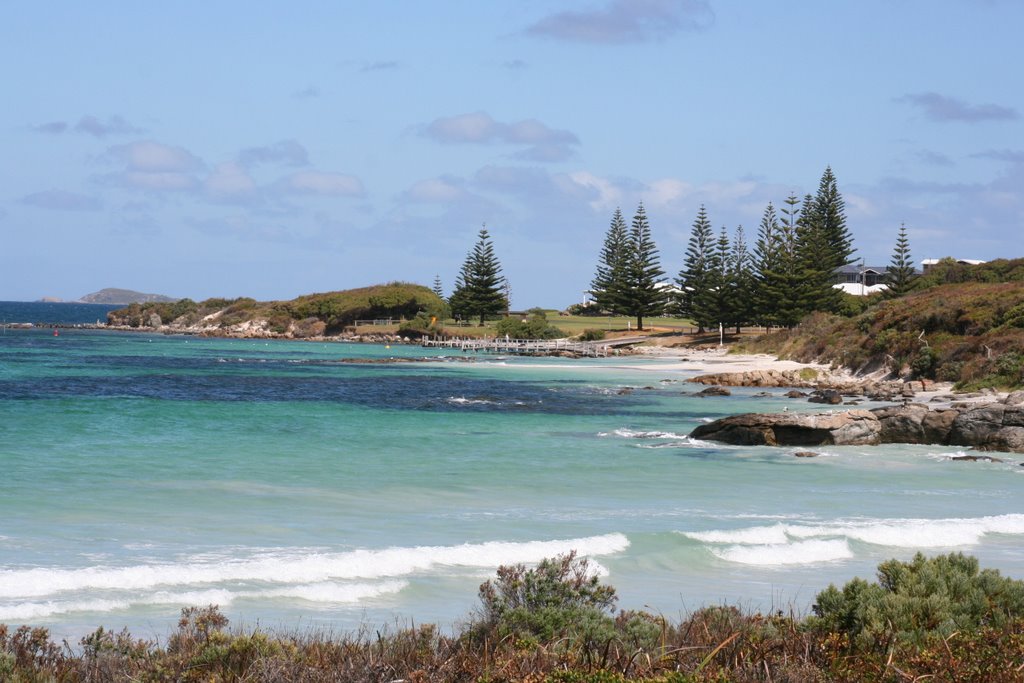
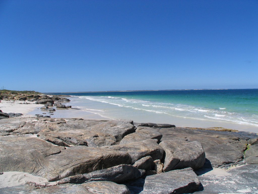
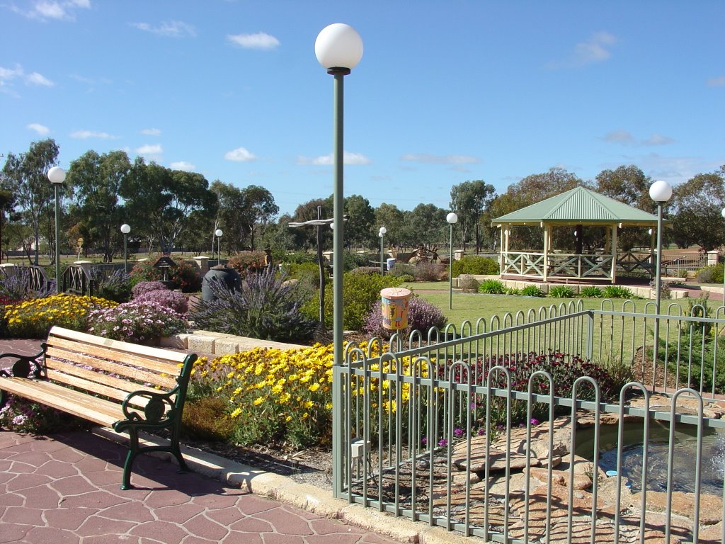
Photos of Augusta
Augusta Weather

Predicción: Clear sky
Temperatura: 23.0°
Humedad: 58%
Hora actual: 04:20 PM
Amanece: 06:45 AM
Anochece: 05:52 PM
Ardath, Australia
Latitude: -32.0289 // Longitude: 118.102
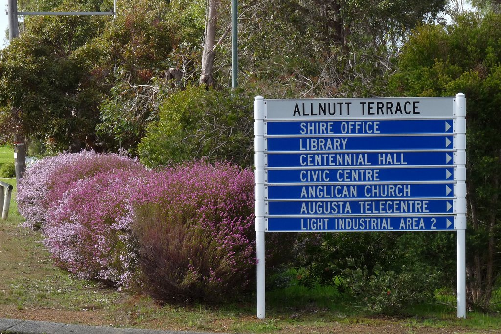
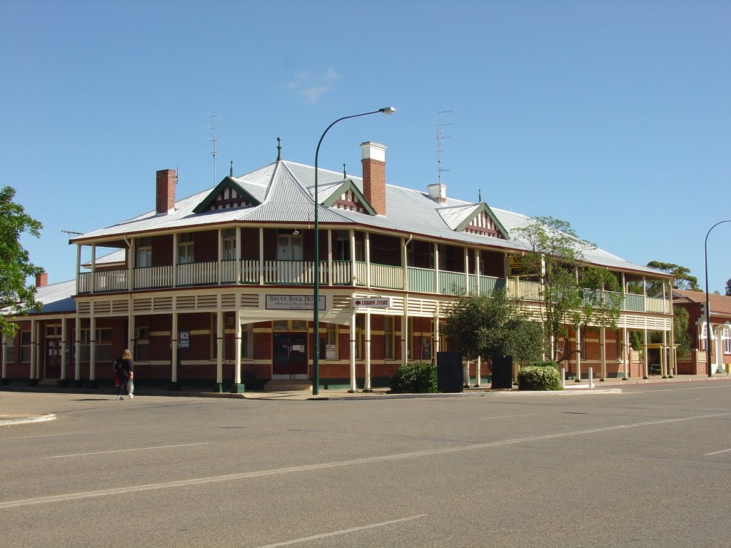
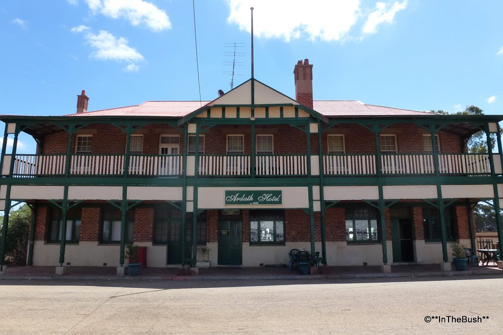
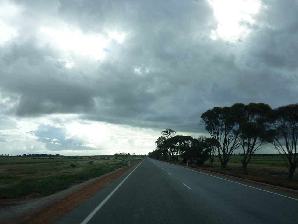
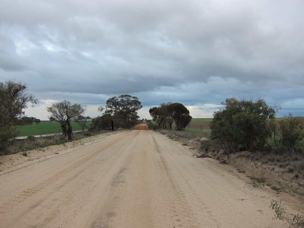
Photos of Ardath
Ardath Weather

Predicción: Broken clouds
Temperatura: 27.0°
Humedad: 19%
Hora actual: 08:00 AM
Amanece: 06:30 AM
Anochece: 05:42 PM


