Distance between  Applethorpe and
  Munglinup
1,864.47 mi Straight Distance
2,269.84 mi Driving Distance
1 day 12 hours Estimated Driving Time
The straight distance between Applethorpe (Queensland) and Munglinup (Western Australia) is 1,864.47 mi, but the driving distance is 2,269.84 mi.
It takes to go from Applethorpe to Munglinup.
Driving directions from Applethorpe to Munglinup
Distance in kilometers
Straight distance: 2,999.94 km. Route distance: 3,652.17 km
Applethorpe, Australia
Latitude: -28.614 // Longitude: 151.956
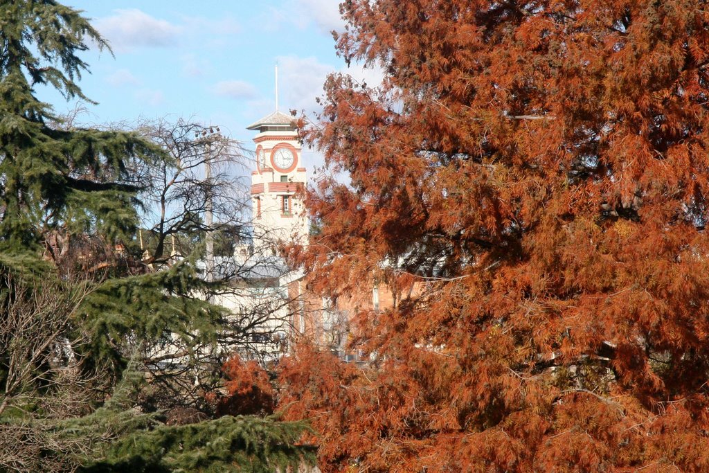
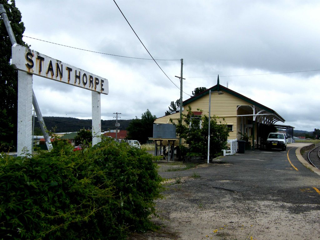
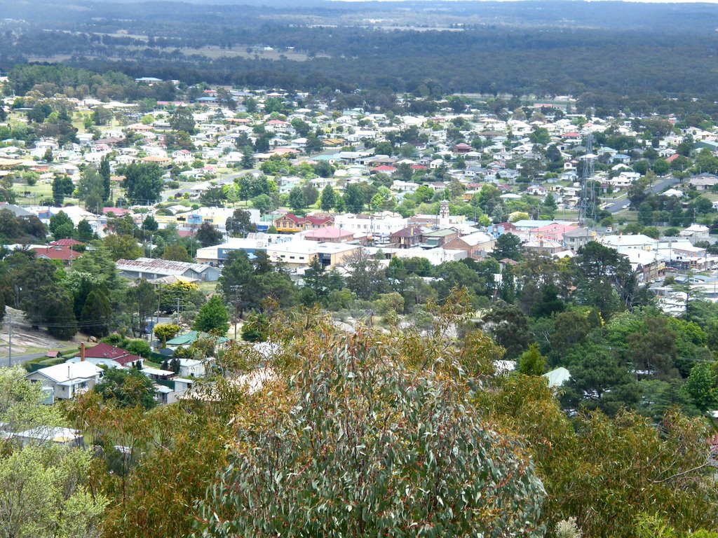
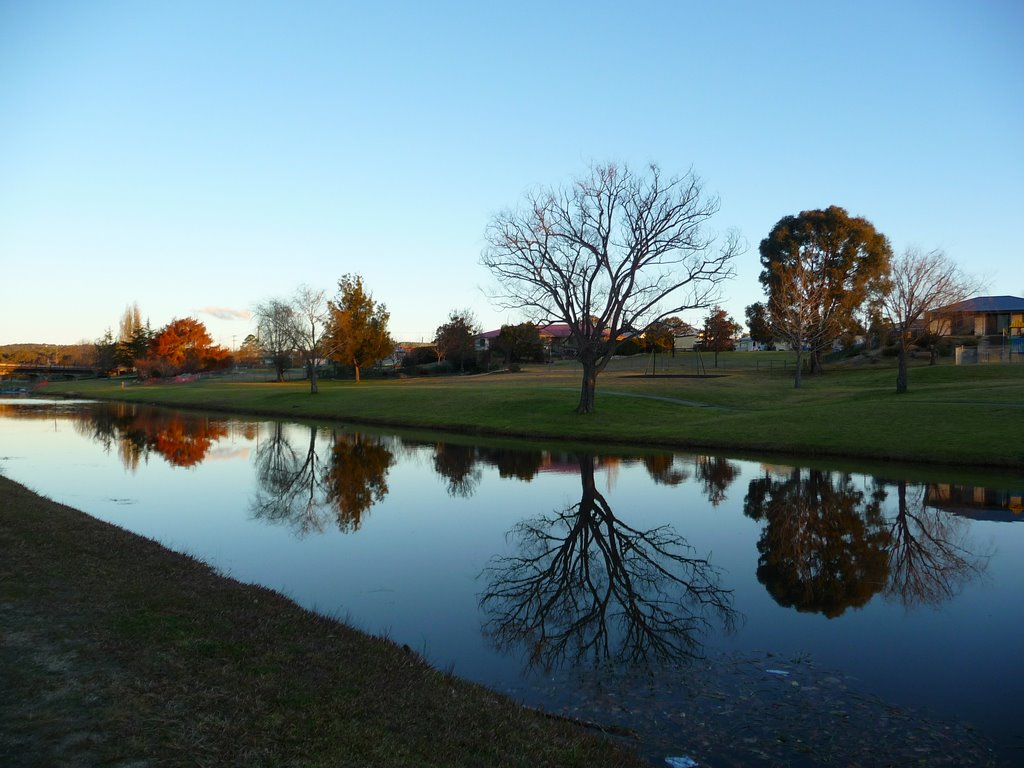
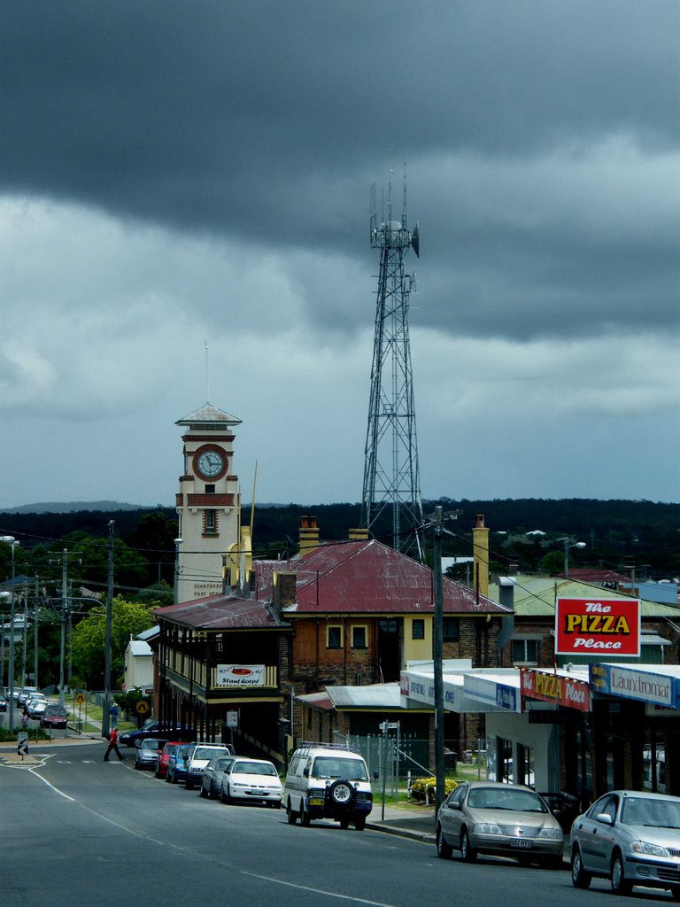
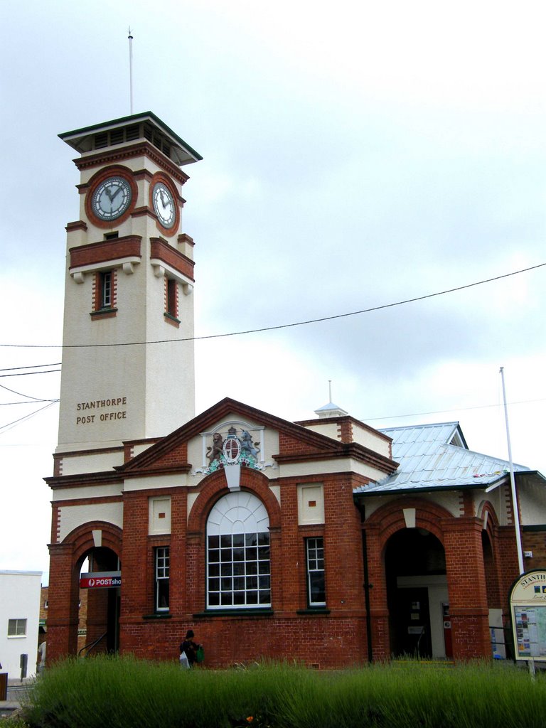
Photos of Applethorpe
Applethorpe Weather

Predicción: Few clouds
Temperatura: 13.1°
Humedad: 82%
Hora actual: 01:59 AM
Amanece: 06:12 AM
Anochece: 05:30 PM
Munglinup, Australia
Latitude: -33.7044 // Longitude: 120.862
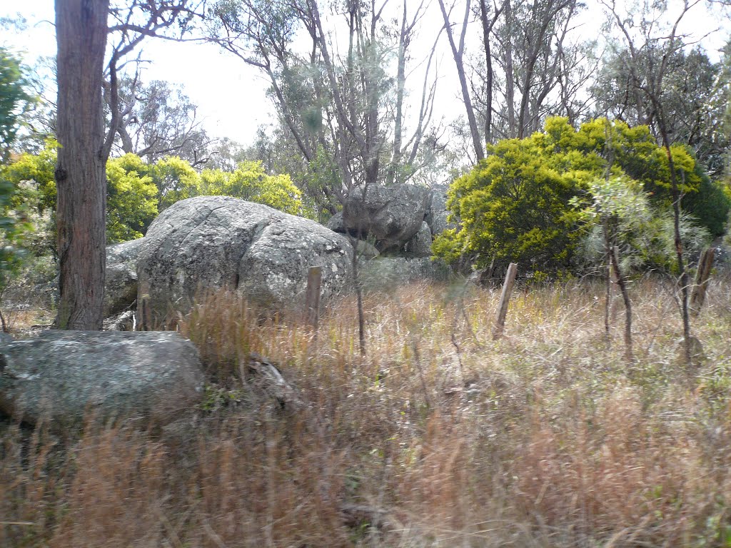
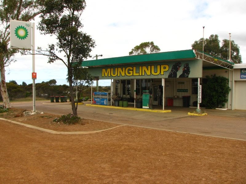
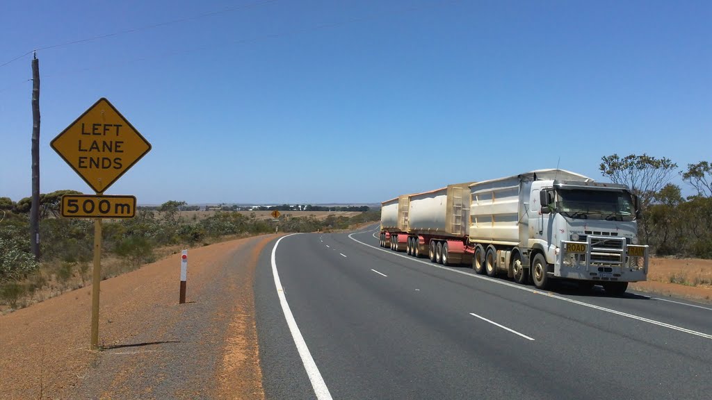
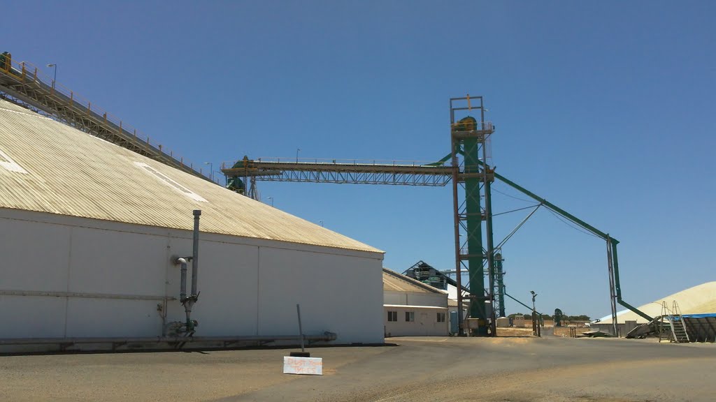
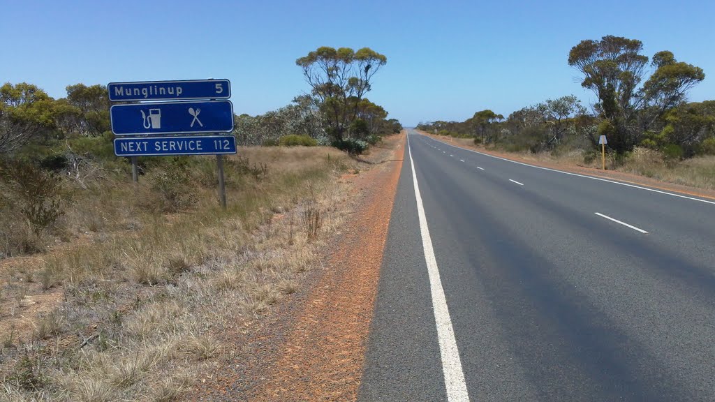
Photos of Munglinup
Munglinup Weather

Predicción: Few clouds
Temperatura: 14.2°
Humedad: 71%
Hora actual: 10:00 AM
Amanece: 08:22 AM
Anochece: 07:29 PM


