Distance between  Ambleside and
  Mount Major
336.30 mi Straight Distance
417.81 mi Driving Distance
11 hours 41 mins Estimated Driving Time
The straight distance between Ambleside (Tasmania) and Mount Major (Victoria) is 336.30 mi, but the driving distance is 417.81 mi.
It takes to go from Ambleside to Mount Major.
Driving directions from Ambleside to Mount Major
Distance in kilometers
Straight distance: 541.11 km. Route distance: 672.25 km
Ambleside, Australia
Latitude: -41.2 // Longitude: 146.366
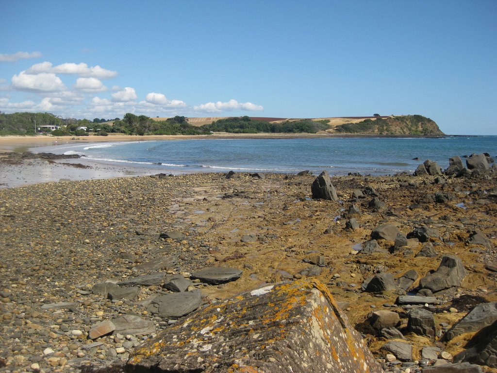
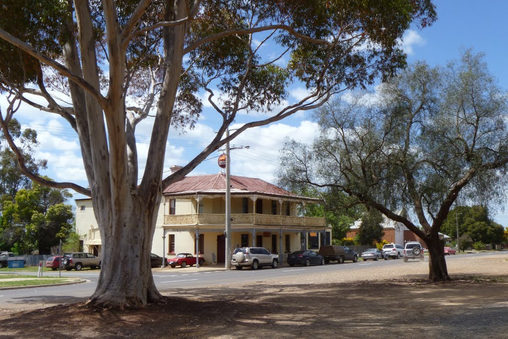
Photos of Ambleside
Ambleside Weather

Predicción: Clear sky
Temperatura: 11.9°
Humedad: 76%
Hora actual: 09:23 AM
Amanece: 06:49 AM
Anochece: 05:37 PM
Mount Major, Australia
Latitude: -36.3609 // Longitude: 145.694
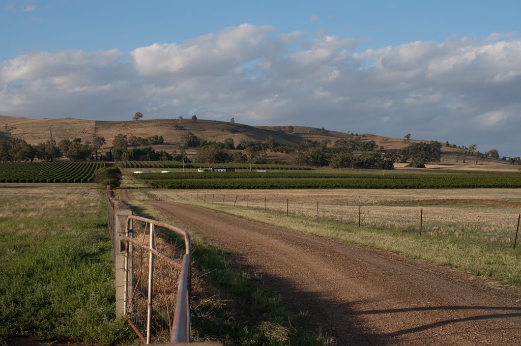
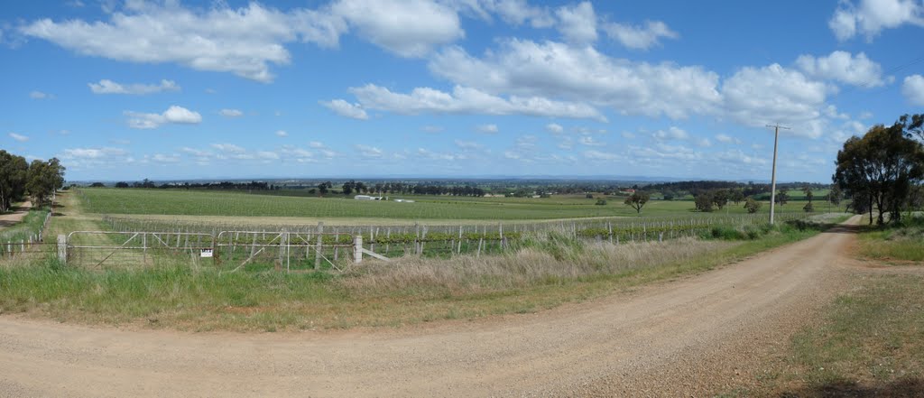
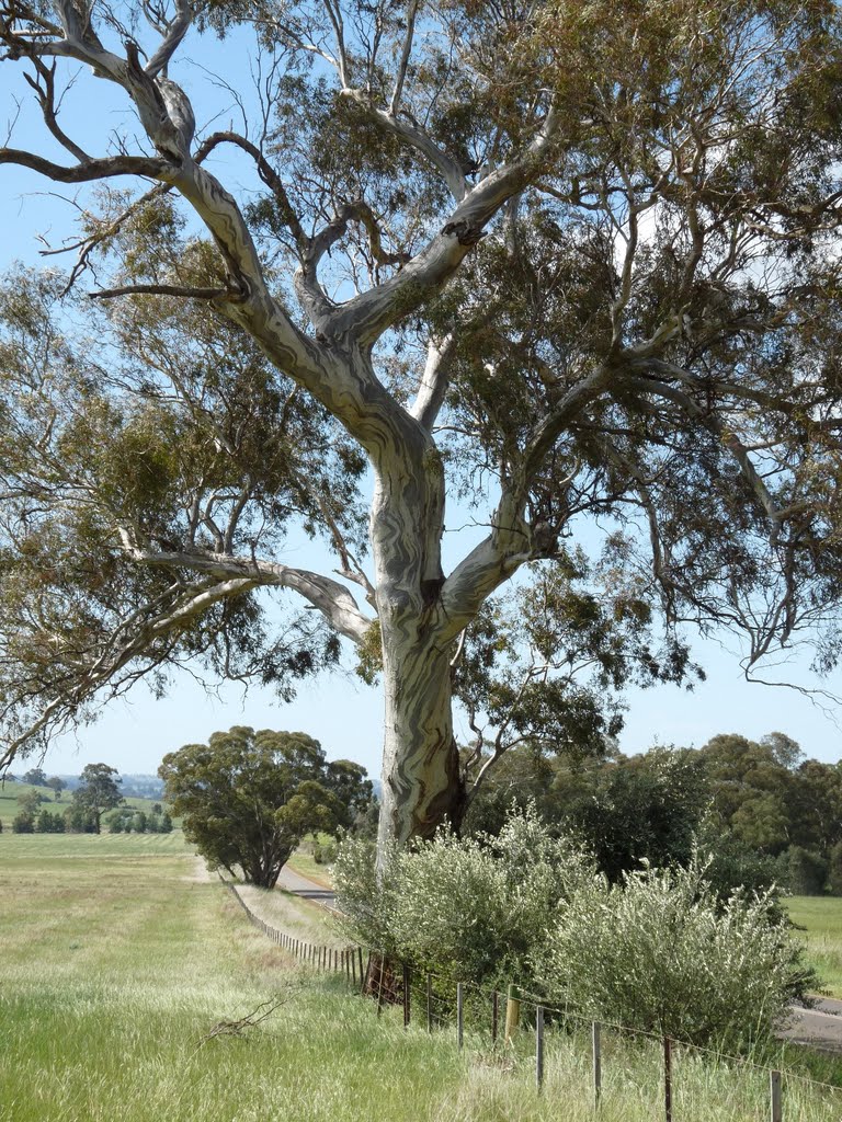
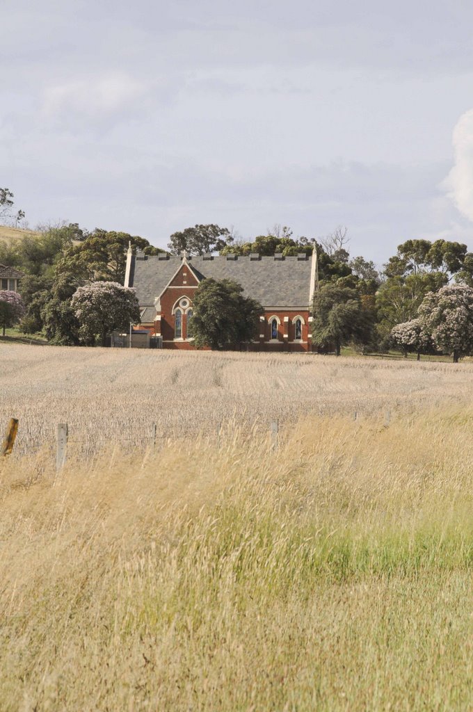
Photos of Mount Major
Mount Major Weather

Predicción: Few clouds
Temperatura: 13.3°
Humedad: 68%
Hora actual: 11:00 AM
Amanece: 06:45 AM
Anochece: 05:46 PM


