Distance between  Alma Park and
  River Heads
792.10 mi Straight Distance
983.71 mi Driving Distance
17 hours 43 mins Estimated Driving Time
The straight distance between Alma Park (New South Wales) and River Heads (Queensland) is 792.10 mi, but the driving distance is 983.71 mi.
It takes to go from Alma Park to River Heads.
Driving directions from Alma Park to River Heads
Distance in kilometers
Straight distance: 1,274.48 km. Route distance: 1,582.79 km
Alma Park, Australia
Latitude: -35.5965 // Longitude: 146.793
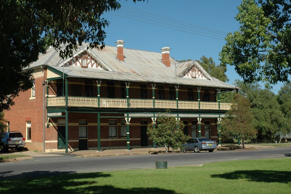
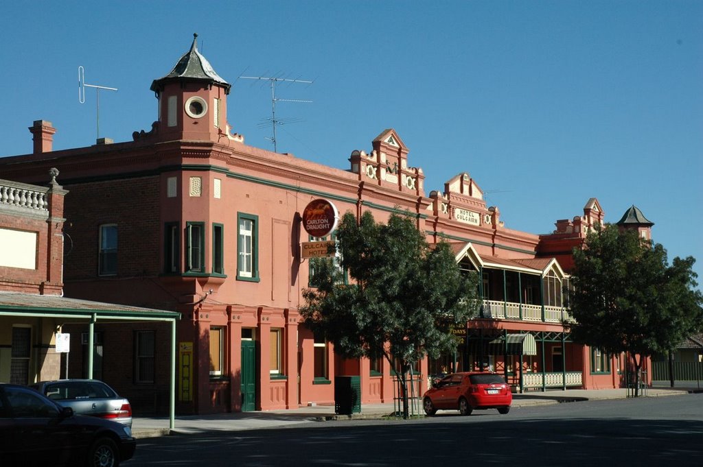
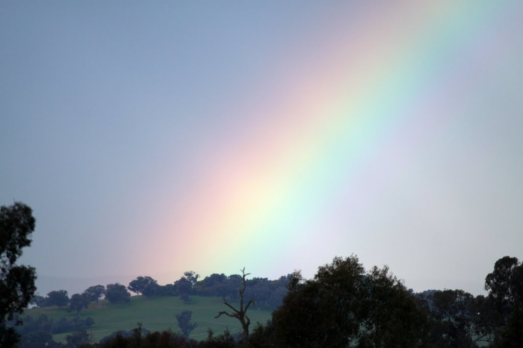
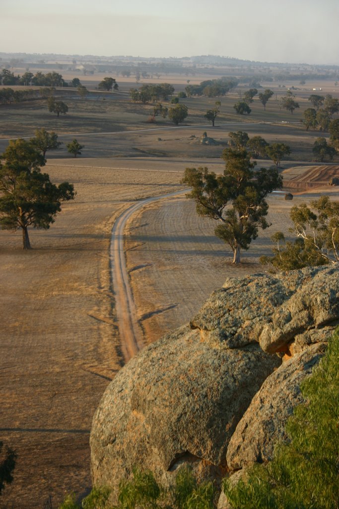
Photos of Alma Park
Alma Park Weather

Predicción: Clear sky
Temperatura: 21.3°
Humedad: 35%
Hora actual: 12:00 AM
Amanece: 08:40 PM
Anochece: 07:43 AM
River Heads, Australia
Latitude: -25.4058 // Longitude: 152.905
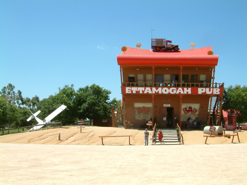
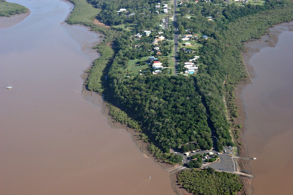
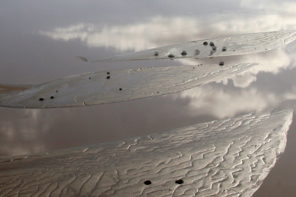
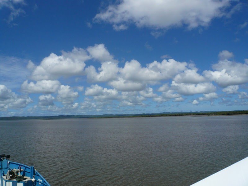
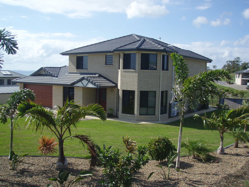
Photos of River Heads
River Heads Weather

Predicción: Scattered clouds
Temperatura: 26.6°
Humedad: 77%
Hora actual: 01:51 PM
Amanece: 06:04 AM
Anochece: 05:30 PM


