Distance between  Adavale and
  Roebourne
1,774.01 mi Straight Distance
2,887.24 mi Driving Distance
1 day 23 hours Estimated Driving Time
The straight distance between Adavale (Queensland) and Roebourne (Western Australia) is 1,774.01 mi, but the driving distance is 2,887.24 mi.
It takes 2 days 6 hours to go from Adavale to Roebourne.
Driving directions from Adavale to Roebourne
Distance in kilometers
Straight distance: 2,854.39 km. Route distance: 4,645.56 km
Adavale, Australia
Latitude: -25.9104 // Longitude: 144.601
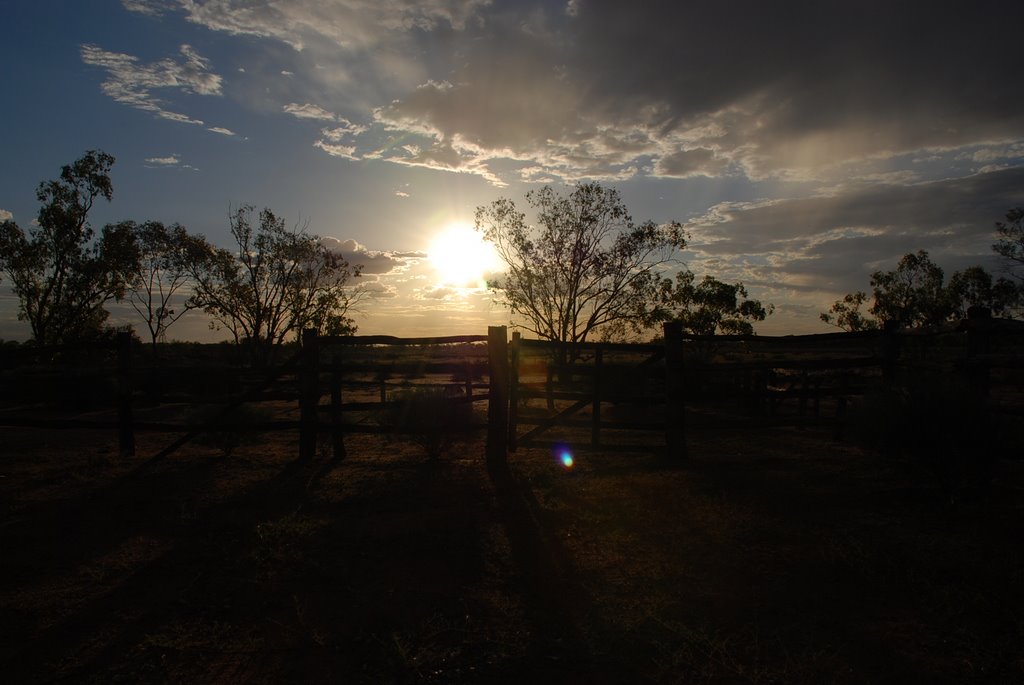
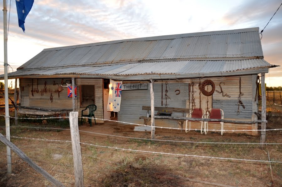
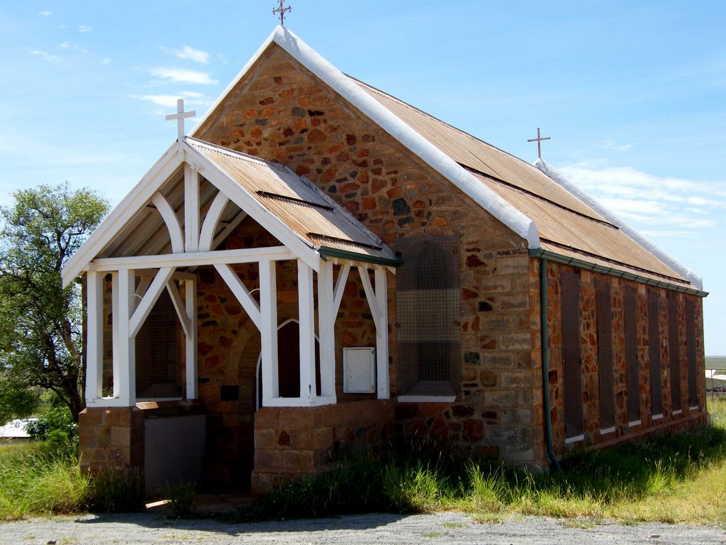
Photos of Adavale
Adavale Weather

Predicción: Clear sky
Temperatura: 23.5°
Humedad: 29%
Hora actual: 12:00 AM
Amanece: 08:39 PM
Anochece: 08:01 AM
Roebourne, Australia
Latitude: -20.7692 // Longitude: 117.147
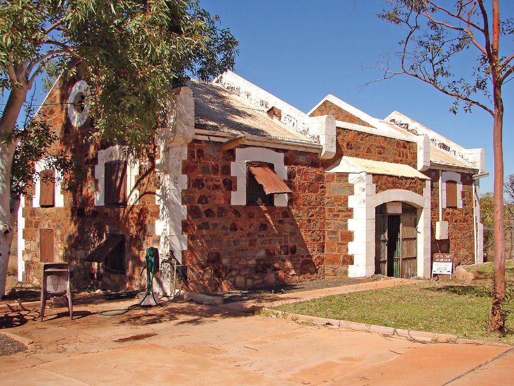
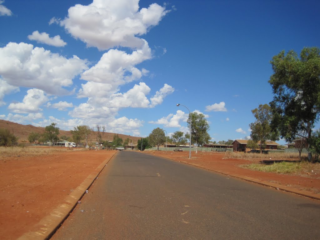
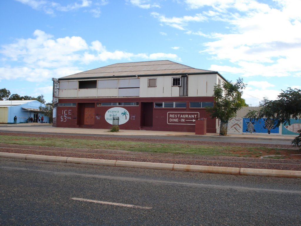
Photos of Roebourne
Roebourne Weather

Predicción: Clear sky
Temperatura: 30.5°
Humedad: 25%
Hora actual: 10:35 AM
Amanece: 06:24 AM
Anochece: 05:56 PM


