Distance between  Abbotsham and
  Koonda
326.44 mi Straight Distance
415.96 mi Driving Distance
11 hours 35 mins Estimated Driving Time
The straight distance between Abbotsham (Tasmania) and Koonda (Victoria) is 326.44 mi, but the driving distance is 415.96 mi.
It takes to go from Abbotsham to Koonda.
Driving directions from Abbotsham to Koonda
Distance in kilometers
Straight distance: 525.24 km. Route distance: 669.28 km
Abbotsham, Australia
Latitude: -41.2095 // Longitude: 146.178
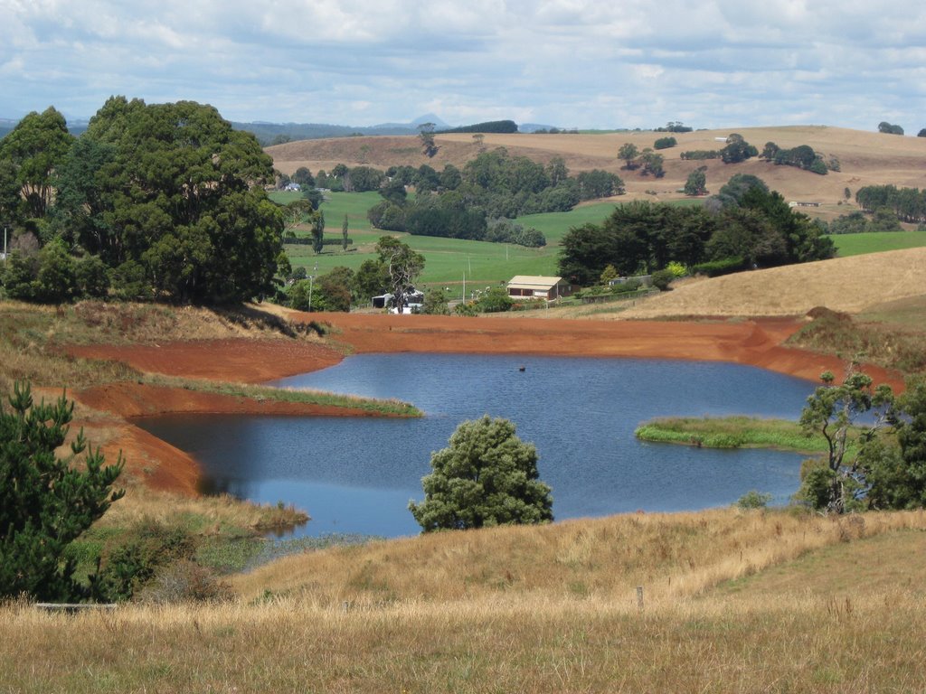
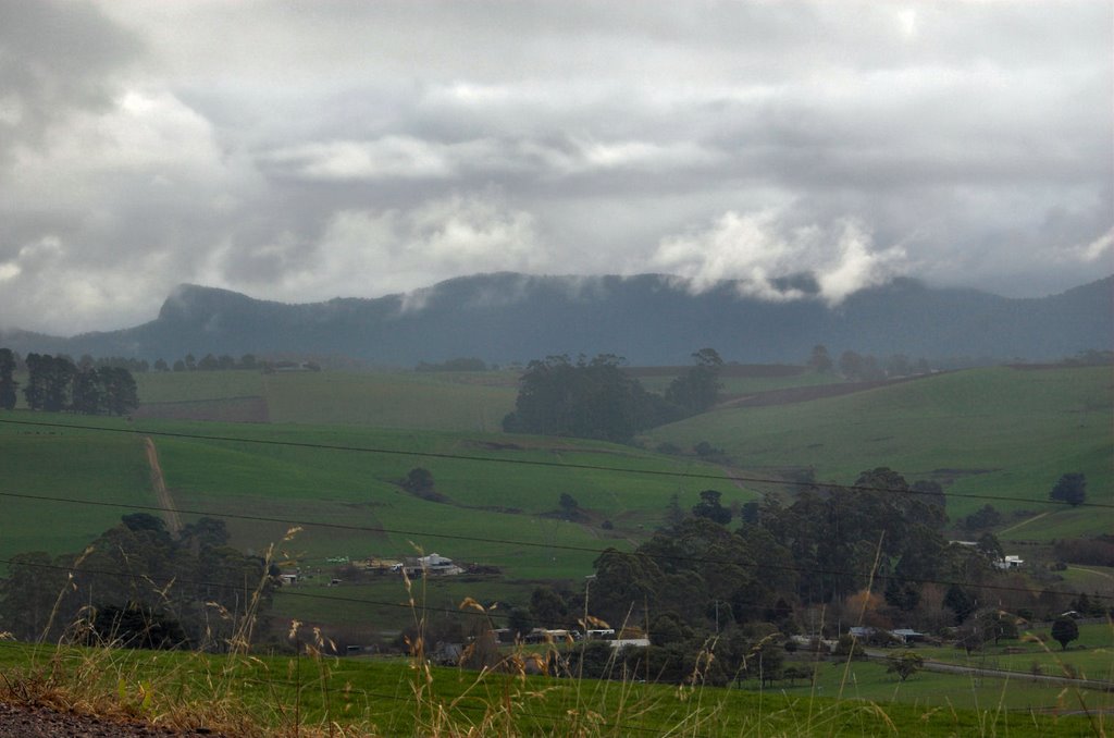
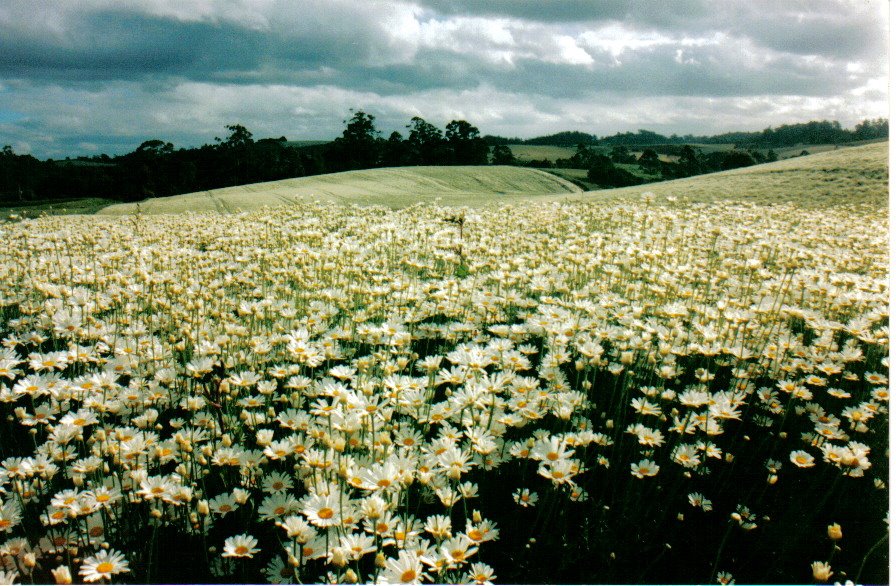
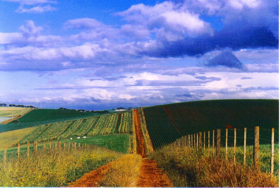
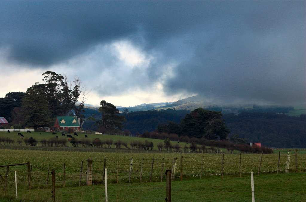
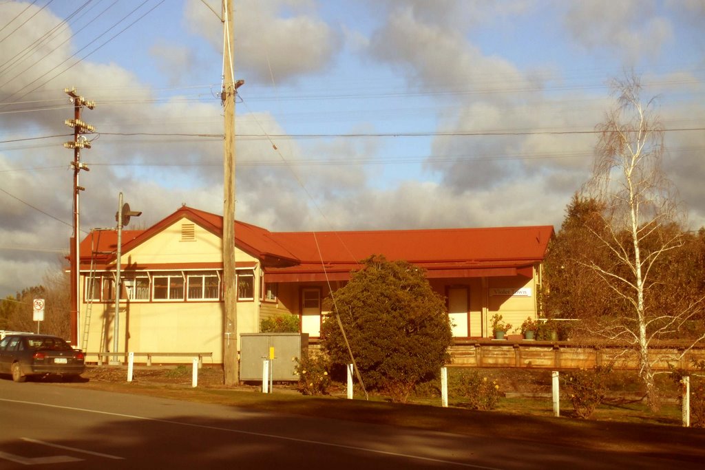
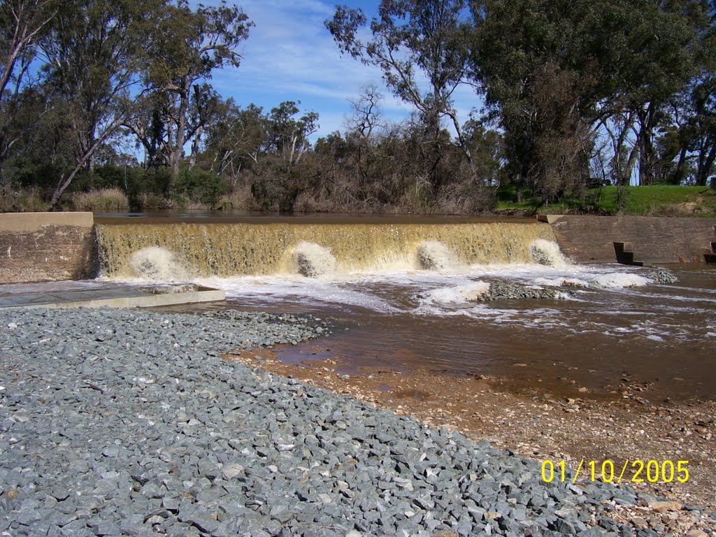
Photos of Abbotsham
Abbotsham Weather

Predicción: Overcast clouds
Temperatura: 9.2°
Humedad: 85%
Hora actual: 04:00 AM
Amanece: 06:48 AM
Anochece: 05:41 PM
Koonda, Australia
Latitude: -36.4969 // Longitude: 145.746
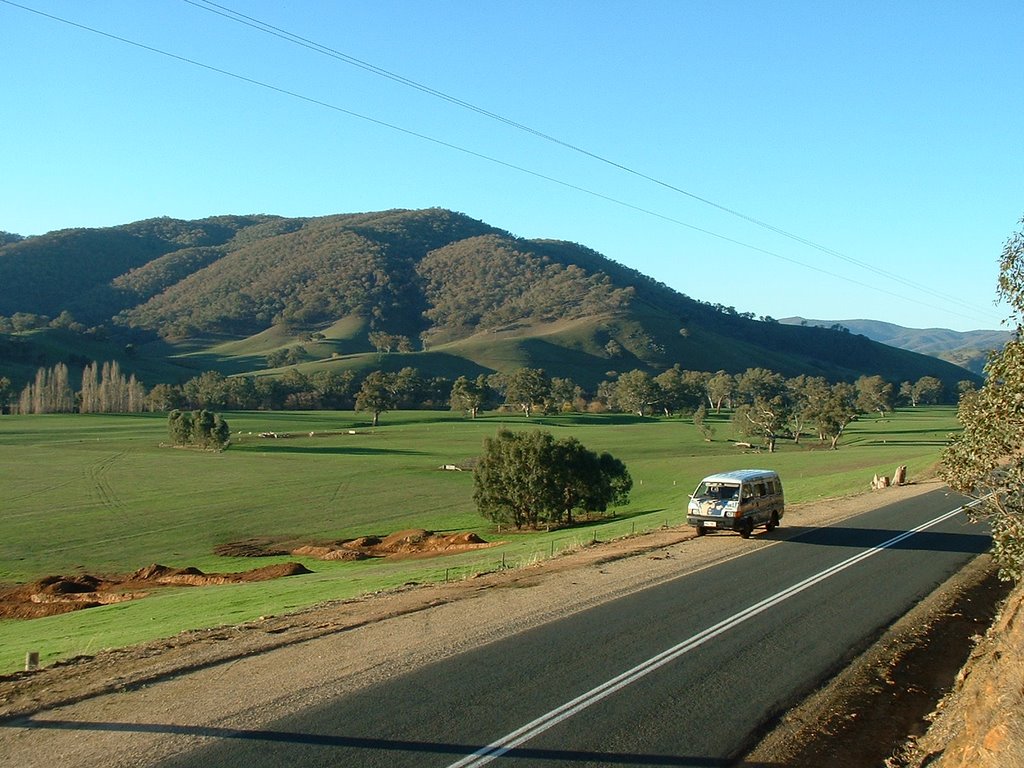
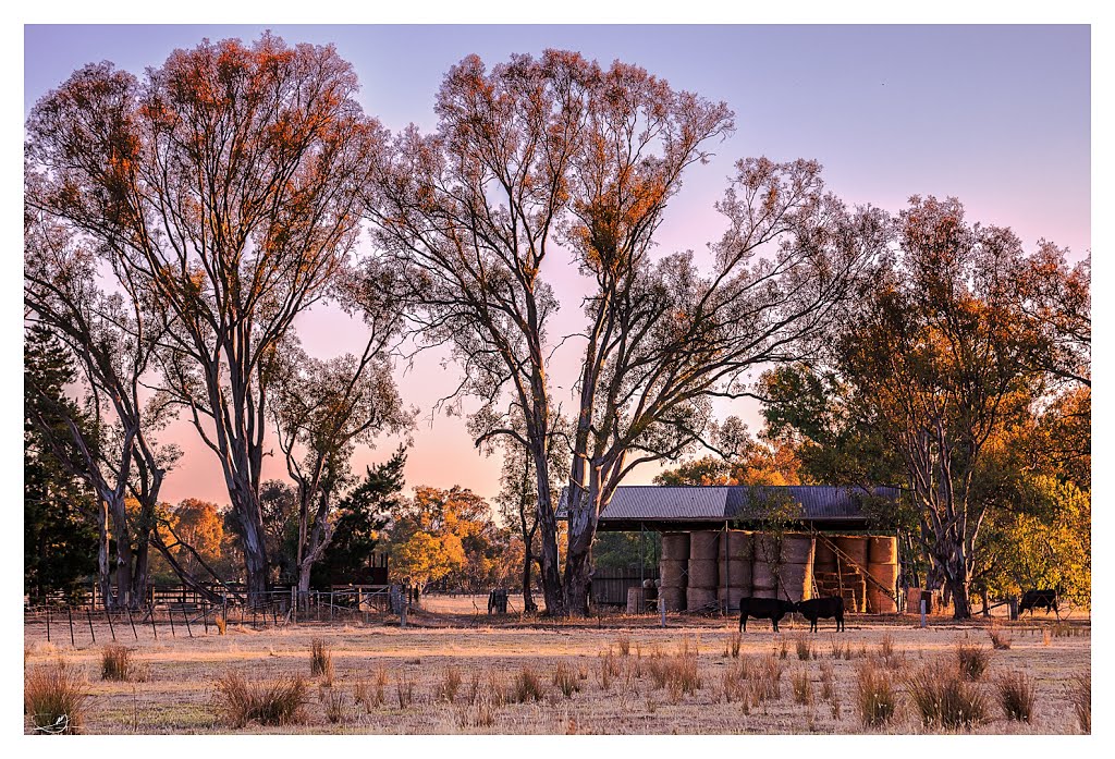
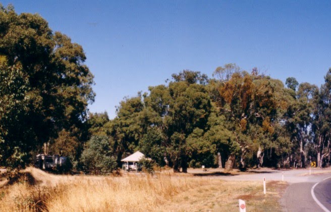
Photos of Koonda
Koonda Weather

Predicción: Overcast clouds
Temperatura: 11.0°
Humedad: 79%
Hora actual: 11:00 AM
Amanece: 06:44 AM
Anochece: 05:48 PM


